Tatamy
-
Posts
2,585 -
Joined
-
Last visited
Content Type
Profiles
Blogs
Forums
American Weather
Media Demo
Store
Gallery
Everything posted by Tatamy
-
What is amazing about this one is the threat did not come into focus until yesterday evening. As of yesterday afternoon today was supposed to be partly sunny and warm where I live. Certainly no expectation of potential heavy rain or a tornado watch.
-
They are heading eastbound. They won’t even extend as far north as my location.
-
Convection is still trying to fire to my west. So far my Tempest has recorded one lightning strike. This event has been a whiff out here.
-
Tornado warning- Delaware County, NY
-
What do you think?
-
The school district people are being proactive about this. If you analyze the potential risks that are being accounted for when schools are closed for a winter storm and compare those to the risks that a severe weather situation can bring to the table I think it is actually a fairly easy decision. The fact that the school districts now have the remote learning piece in place seals the deal.
-
If you want to see what a tornado can do take a ride down to Fort Washington PA. Get off at the exit from I276 for Rte 309. Take a ride up Fort Washington Ave and then up Limekiln Pike. This tornado happened last summer however there is still plenty left to see. Homes with tarps still on their roofs, damage to a school, many large trees snapped in half about 20 to 30 feet off of the ground. There are actually more tornado damage paths then I can count in that region. We are living in a new climate regime and the old idea that tornadoes are just a mid western thing has been completely blown away.
-
Check out the post just before your’s. Do you recall seeing a map like that for this region? The atmosphere is quite juiced today so this is actually a good call IMO.
-
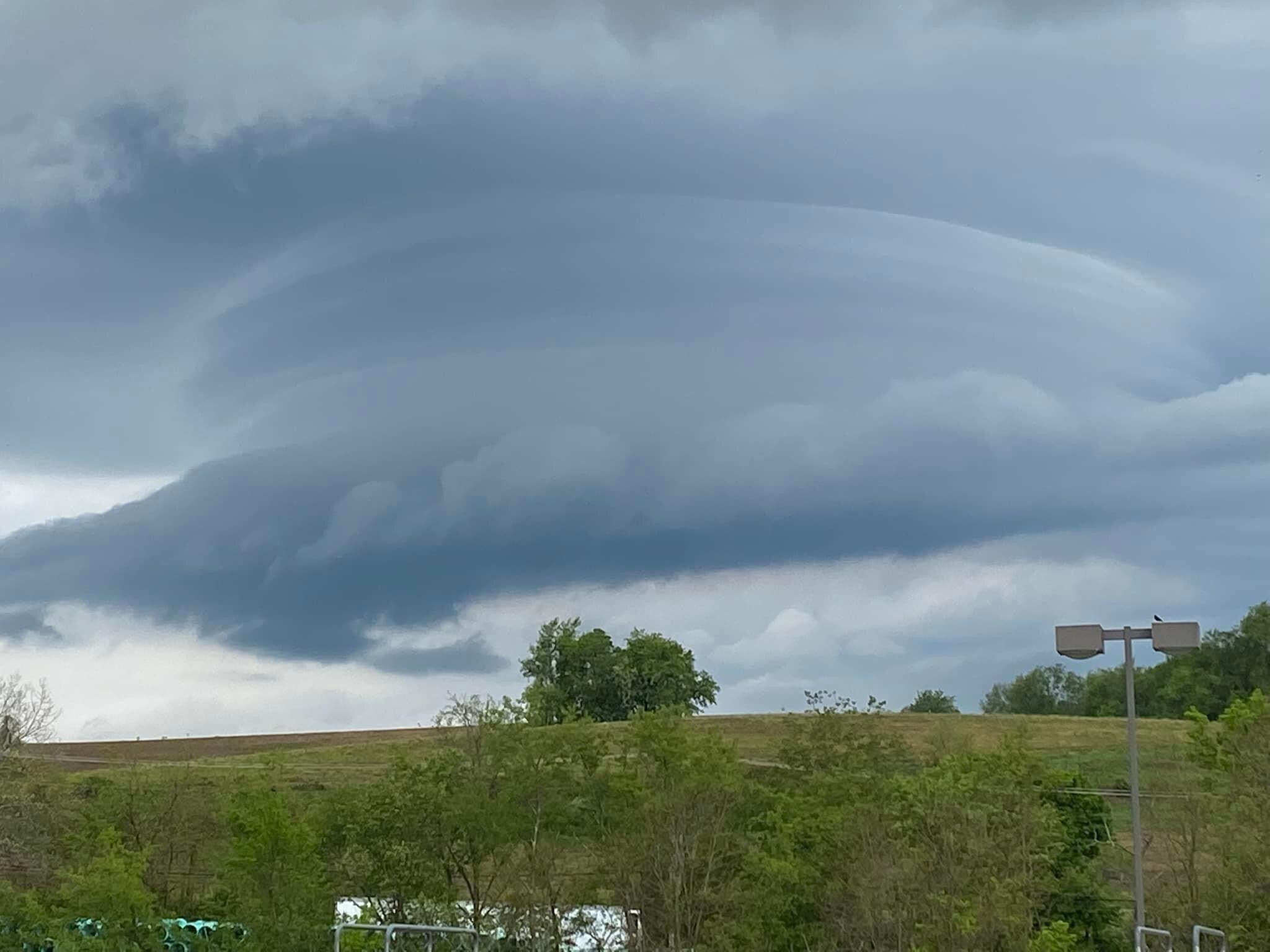
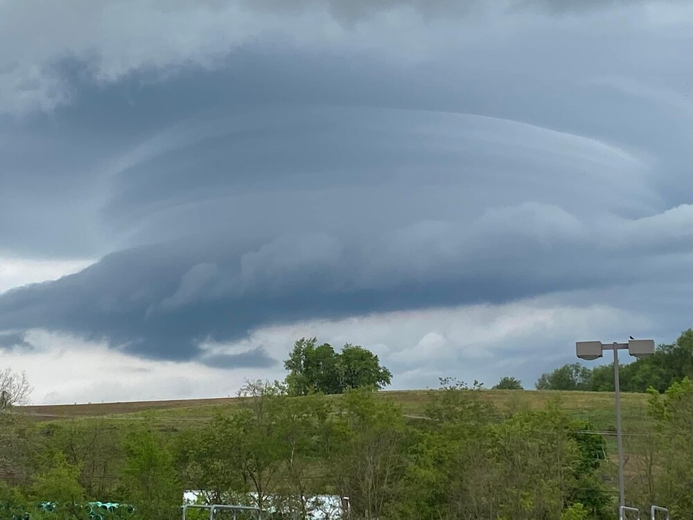
Squall line continuing to move rapidly eastward across central PA. This is a view from SW PA taken earlier (from Facebook).
-
Yes I am definitely looking forward to some excitement out here around 4-5pm.
-
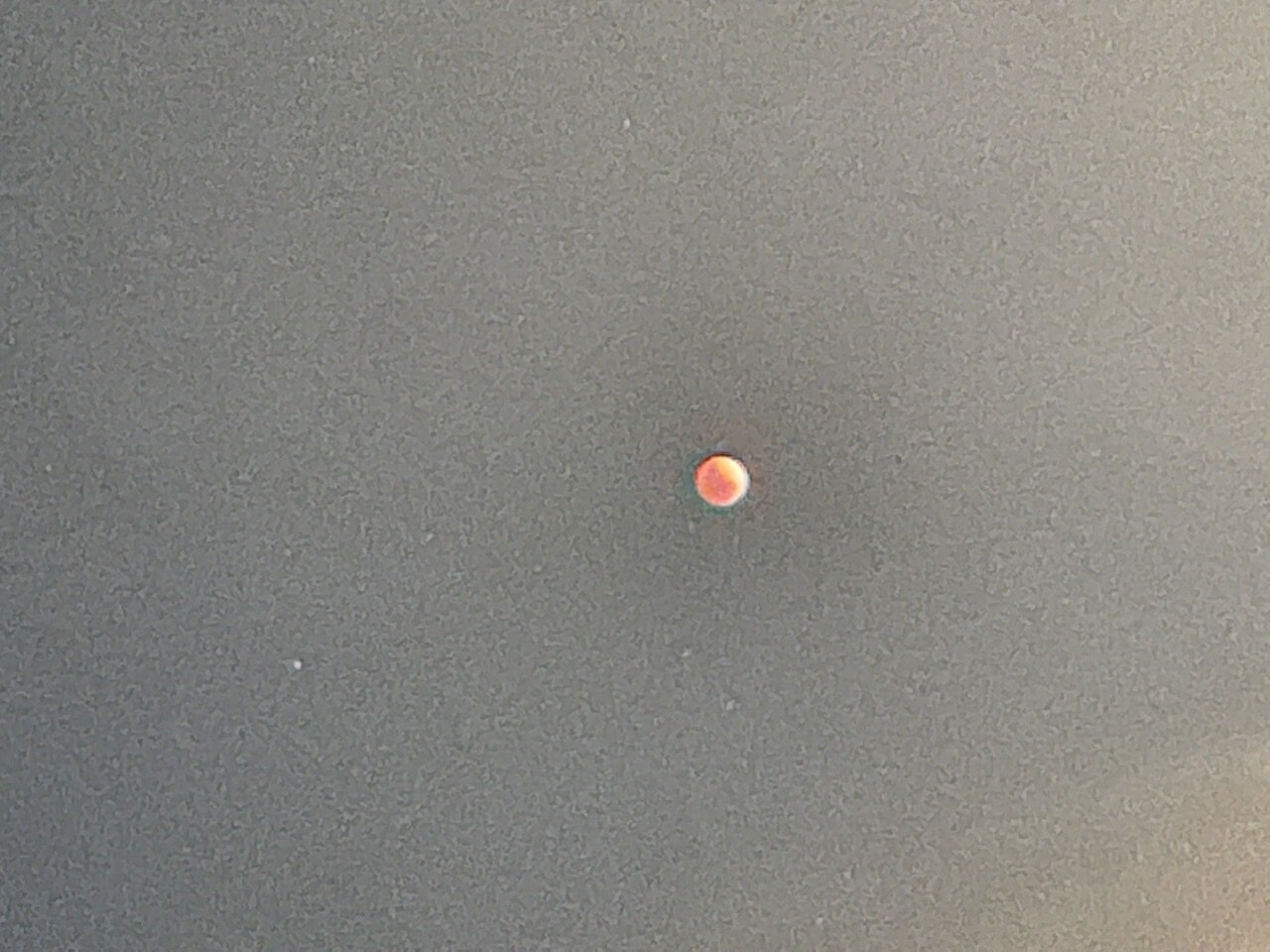
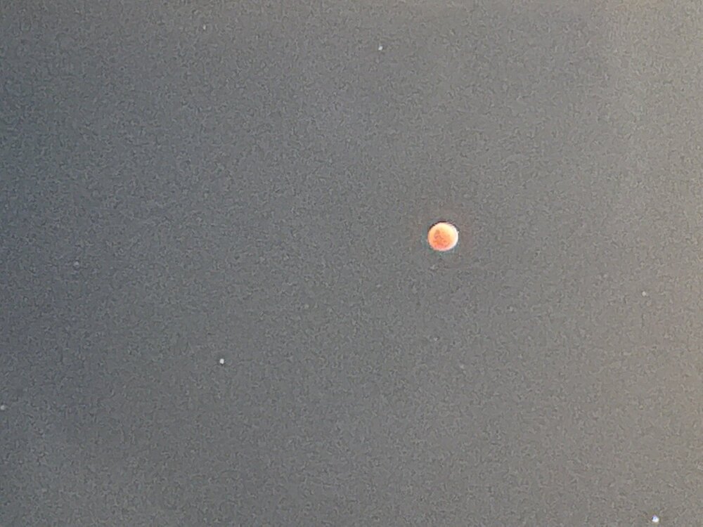
Approaching totality
-
I lucked out with the cloud cover which has just cleared out of here.
-
Sun is coming out from behind the clouds here. Storm total - 2.83”
-
I have looked at webcams up there during the day and have not seen anything like that up there. I would wager that there has been mixed snow and rain in places up there at times especially earlier this afternoon.
-
What is the temperature up there?
-
There are actually indications of snow aloft currently on radar over the Poconos. Temps in the upper 30s will keep that from making it to the surface.
-
I have rain mixed with snow here. 36 degrees and I am probably a lot lower than you.
-
Those of us who are inland are more likely to see white rain out of this one. You will have to be fairly high up for at least the first part of the night in order to see snow that sticks. Snow levels are expected to drop a bit in those elevated locations well after midnight.
-
Do you know what the elevation of your property is? Right now it looks like the snow line up that way is on the order of about 1500’.
-
Still snowing moderately along I81 all the way from the MD border up to the Hazleton area in PA. Mixed with rain in the Harrisburg area. To have snow along most of the length of that highway at this time of the year is probably unprecedented. It’s rare even in January. Elevations range from 300’ to 1500’ along that stretch.
-
It is presently snowing hard along I81 in south central PA well to the SW of Harrisburg. I am seeing visibility’s as low as 1/4 mile with accumulations on grassy surfaces near the Maryland border. Elevations there run about 500-700’.
-
The 1983 storm brought accumulating wet snow to much of the area but changed to rain fairly quickly along the coast. Some Coastal areas received up to a couple of inches before turning to rain. Parts of NW NJ received up to 15 inches with this event. I have not seen any accumulation maps regarding this event.
-
I am done with it and my snowblower has been retired to the back of the shed until next winter. I am even happier to say that I did not have to use it either!
-
This is a NYC / LI focused board and the primary impacts there will be rain and wind. You will actually have to be fairly high up in the Poconos / Catskills (above at least 1000’ in order to see significant accumulations). I think most people on this board (myself included) are done with this winter anyways.