

CoastalWx
-
Posts
175,904 -
Joined
-
Last visited
Content Type
Profiles
Blogs
Forums
American Weather
Media Demo
Store
Gallery
Everything posted by CoastalWx
-
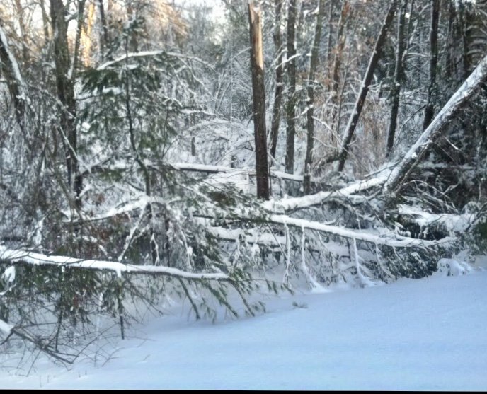
Now that’s a lot of damage. Feb ‘13
-
It was pretty deep down here before it changed over as the CJ the day before really gave us deep snow. Even after the flip the pack was like 15” deep in the Dorchester where I lived.
-
Yes. Longitude ftw in that one.
-
I mean there is some skill, I'm not trying to insult that field.....but snow is what most care about and that metric is extremely difficult to predict.
-
Although they had issues with 60-70mph winds. What an epic event.
-
I'm pissed I don't have any pics of that stretch leading to 12/21/08. What a great stretch that was from 12/19-12/21.
-
No offense to those who try to spend a lot of time and money on the seasonal stuff, but unless it's a strong ENSO signal, there is a lot of factors that account for temps...nevermind that snowfall is even more difficult to predict. A lot of voodoo.
-
December verbatim wouldn't be too bad. Jan and Feb look ugly.
-
Yeah even down here we had over 7" in that before we flipped. Fun stretch during that week of the 13-20.
-
I'd like to see the H5 look.
-
LOL look how fast the dryslot is moving in. Just when people flip it shuts off and turns into nuisance mixed precip.
-
Yep..lol. What a loop though. And a more N-S coastal front. Snow in Newport RI and rain in Boston. Middle finger centered at BOS.I lost it when Will said it flipped to snow just at the end of the Pru tunnel. I was in Dorchester at the time.
-
Man I found some 12/30/12 radar loops. I think I have the loop saved during the time Will talked me off the cliff.
-
I had a moment when a random piece of ash drifted like 80' behind my shed and started a fire. That was scary.
-
Pounding in srn RI.
-
Lots of rain south of Steinton.
-
What about improperly destroying a hornet's nest?
-
They might be buried further back? Feel free for NNE pics too. I guess I’ll be nice lol.
-
Nice, thanks Brian.
-
Maybe a few months ago?
-
390mb and change for me. I never had that much...that's almost double from what I had before.
-
We have had a lot of 50-60"+ years here recently. We regress. SE MA folks may get clipped tomorrow.
-
I haven't posted a lot of images to back up my thoughts because I hated deleting older stuff. It's a nice archive to have. But love the added space. Now we ready to weenie out.
-
A lot more. It's nice because I don't have to delete old pics and can post more images now.
-
Those were the days. Now we regress.


