CoastalWx
-
Posts
176,985 -
Joined
-
Last visited
Content Type
Profiles
Blogs
Forums
American Weather
Media Demo
Store
Gallery
Everything posted by CoastalWx
-
October Discussion: Bring the Frost-Hold the Snow
CoastalWx replied to 40/70 Benchmark's topic in New England
Overall looks like a Torchtober to remember on guidance. Pretty mild here in the east. Cold and snows in AK down to Rockies. -
October Discussion: Bring the Frost-Hold the Snow
CoastalWx replied to 40/70 Benchmark's topic in New England
Party is over. We join you now. -
If you look at that graphic, It’s nose diving it too quickly compared to how it’s been proceeding.
-
October Discussion: Bring the Frost-Hold the Snow
CoastalWx replied to 40/70 Benchmark's topic in New England
What a day. Even sitting out having dinner in short sleeves. -
October Discussion: Bring the Frost-Hold the Snow
CoastalWx replied to 40/70 Benchmark's topic in New England
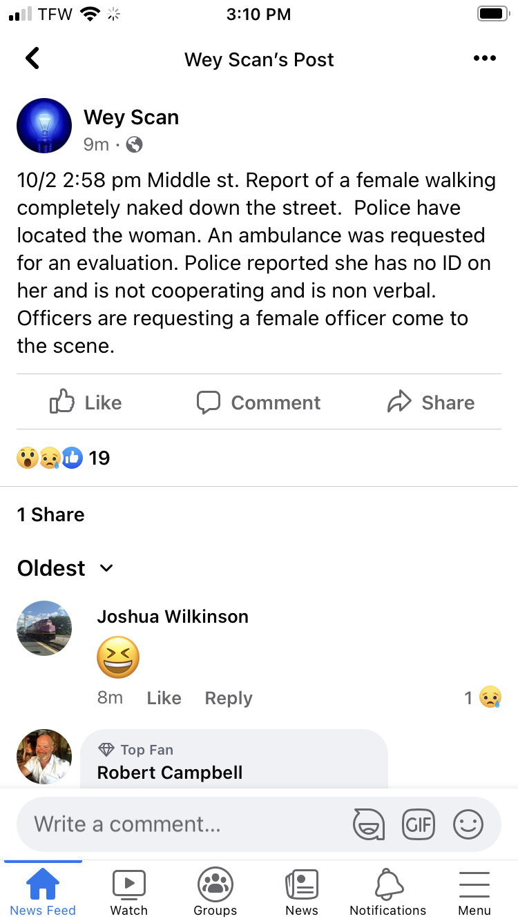
It appears around town, some aren’t wearing anything at all.
-
October Discussion: Bring the Frost-Hold the Snow
CoastalWx replied to 40/70 Benchmark's topic in New England
Yeah I can’t complain for a Saturday. You’ll get yours soon enough though. In terms of the weather you want. We still have a long way to go for that here. -
Isn’t that the whole country outside of New England and Tampa? LOL.
-
October Discussion: Bring the Frost-Hold the Snow
CoastalWx replied to 40/70 Benchmark's topic in New England
We different. We 70+. We sun. We enjoy. -
October Discussion: Bring the Frost-Hold the Snow
CoastalWx replied to 40/70 Benchmark's topic in New England
We told them. -
October Discussion: Bring the Frost-Hold the Snow
CoastalWx replied to 40/70 Benchmark's topic in New England
That’s dumb. Love how they reference NY floods. Their idiot governor saying we didn’t know, yet every radar was lit in that area (plenty of coverage, satellites wouldn’t help anything) and there was FFW. -
October Discussion: Bring the Frost-Hold the Snow
CoastalWx replied to 40/70 Benchmark's topic in New England
The same “friend” going on 4K journeys? -
October Discussion: Bring the Frost-Hold the Snow
CoastalWx replied to 40/70 Benchmark's topic in New England
I get what DIT is saying. Like when MJO says there will be a hurricane at the end of the month, I'll put a confused emoji because he's reading some bad info or doesn't know what he's talking about. However, a LOL emoji means I found the post funny. -
October Discussion: Bring the Frost-Hold the Snow
CoastalWx replied to 40/70 Benchmark's topic in New England
Oh yeah baby. But, lots of HP and onshore flow. As I said...nights will drive the AN anomalies. -
October Discussion: Bring the Frost-Hold the Snow
CoastalWx replied to 40/70 Benchmark's topic in New England
Which reminds me. I have noticed it's a little warm..at least IMO. -
October Discussion: Bring the Frost-Hold the Snow
CoastalWx replied to 40/70 Benchmark's topic in New England
Isn't that encompassing two different areas where obs were taken? -
I feel like 10+ years ago I would be pissed. Now I'm like....sounds good. LOL.
-
October Discussion: Bring the Frost-Hold the Snow
CoastalWx replied to 40/70 Benchmark's topic in New England
Could be a real shitty stretch Monday into following weekend, but after that....HP overhead and Stein perhaps. Now that could be a sweet stretch. -
October Discussion: Bring the Frost-Hold the Snow
CoastalWx replied to 40/70 Benchmark's topic in New England
About as likely as the Mets in the post season. Same with the Sox. -
October Discussion: Bring the Frost-Hold the Snow
CoastalWx replied to 40/70 Benchmark's topic in New England
The Sandy redux on the 6z GFS is cute. -
October Discussion: Bring the Frost-Hold the Snow
CoastalWx replied to 40/70 Benchmark's topic in New England
No, as I said...the colder air is out west. When they cold, we mild. -
October Discussion: Bring the Frost-Hold the Snow
CoastalWx replied to 40/70 Benchmark's topic in New England
Yeah for sure. The pattern ahead with milder nights will keep them green. -
October Discussion: Bring the Frost-Hold the Snow
CoastalWx replied to 40/70 Benchmark's topic in New England
Only issue is that it prolongs the oak leaves. That’s the only thing I wish I could hasten lol. Clean up those dam leaves sooner the better. -
October Discussion: Bring the Frost-Hold the Snow
CoastalWx replied to 40/70 Benchmark's topic in New England
All my plants/flowers etc still doing great. Would be nice to continue it. No need to rush in death season. -
Longshoremen get paid well I thought. The employment money ran out. What are these people doing?
-
October Discussion: Bring the Frost-Hold the Snow
CoastalWx replied to 40/70 Benchmark's topic in New England
It’s just out west.