

CoastalWx
-
Posts
176,987 -
Joined
-
Last visited
Content Type
Profiles
Blogs
Forums
American Weather
Media Demo
Store
Gallery
Everything posted by CoastalWx
-
October Discussion: Bring the Frost-Hold the Snow
CoastalWx replied to 40/70 Benchmark's topic in New England
We doorin’ down to 63 -
BTW, I went back on the March 2018 bliz thread. I forgot KACK at 60kt winds and S+ for a time. That is impressive.
-
Come back!!!
-
I'd like to mow down that observatory and build a nice Cape style home there.
-
Have we received permission to have KGAY as an official identifier?
-
I like the 121" at KPDX. Cute.
-
Hope you feel better bud.
-
October Discussion: Bring the Frost-Hold the Snow
CoastalWx replied to 40/70 Benchmark's topic in New England
They'll go away within 90 min or so I think. -
October Discussion: Bring the Frost-Hold the Snow
CoastalWx replied to 40/70 Benchmark's topic in New England
Amazing that we will own the warmest height anomalies in the northern Hemi...lol. Congrats AK though, but with that big GOAK trough...we mild. Maybe a dip in temps for a few days 18th and on. -
October Discussion: Bring the Frost-Hold the Snow
CoastalWx replied to 40/70 Benchmark's topic in New England
Another day with clothes optional. -
October Discussion: Bring the Frost-Hold the Snow
CoastalWx replied to 40/70 Benchmark's topic in New England
Couple shwrs maybe south coast otherwise we good. AWT. Easy to toss euro nowadays. -
I’m not surprised it may become moderate. Hopefully we can get some help in the Arctic region.
-
15-16.
-
I thought Kevin win 10-11 by a few inches.
-
Yep. You sicko lol.
-
That’s a good question.
-
I always enjoy the snow contest between Kevin and Ray.
-
I mean imagine if you could have wagered on that lol. We'd retire just by guessing on the temps looking at H5 vs those 2M temps verbatim. If anybody has access to those H5 plots, I'd like to see that.
-
October Discussion: Bring the Frost-Hold the Snow
CoastalWx replied to 40/70 Benchmark's topic in New England
Yep. EPS also came in much drier. -
October Discussion: Bring the Frost-Hold the Snow
CoastalWx replied to 40/70 Benchmark's topic in New England
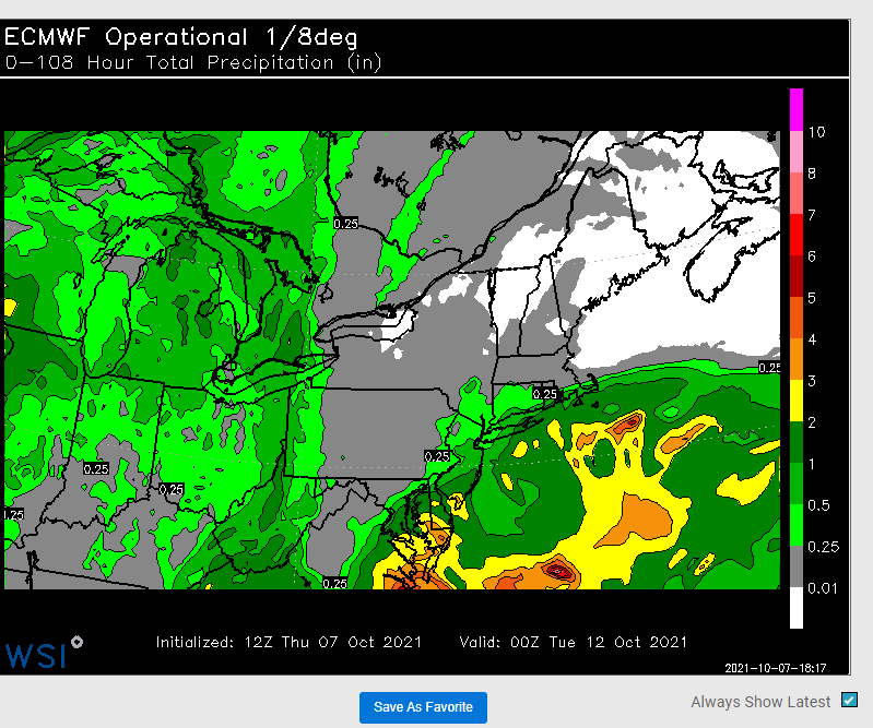
-
Yeah, I was going out to dinner in the North End outside in early November.
-
October Discussion: Bring the Frost-Hold the Snow
CoastalWx replied to 40/70 Benchmark's topic in New England
-
October Discussion: Bring the Frost-Hold the Snow
CoastalWx replied to 40/70 Benchmark's topic in New England
-
That gradient seems intense. It's not like the weather near the notch has been 20 degrees colder compared to where you are. It must be the species of trees too.
-
October Discussion: Bring the Frost-Hold the Snow
CoastalWx replied to 40/70 Benchmark's topic in New England


