CoastalWx
-
Posts
178,325 -
Joined
-
Last visited
Content Type
Profiles
Blogs
Forums
American Weather
Media Demo
Store
Gallery
Everything posted by CoastalWx
-
That cracks me up. I could hear the wind through the trees and you guys are radiating.
-
December 2021 Obs/Disco...Dreaming of a White-Weenie Xmas
CoastalWx replied to 40/70 Benchmark's topic in New England
Exactly. Tell George lol. -
December 2021 Obs/Disco...Dreaming of a White-Weenie Xmas
CoastalWx replied to 40/70 Benchmark's topic in New England
I’m just hoping that holds a bit and doesn’t move west or drive a massive -PNA/SE ridge Like weeklies show. I think I’d feel better if I saw a little ridging over Santa to keep that PV on our side. -
Yeah with that s/w I could see that.
-
December 2021 Obs/Disco...Dreaming of a White-Weenie Xmas
CoastalWx replied to 40/70 Benchmark's topic in New England
We hope and pray. That ridge was a little further east on the 00z run. -
Yeah I saw that too. I think Monday is probably OTS, but maybe one of them can give a little SN.
-
Also the polar vortex is climo. Just because it’s near the North Pole does not mean winter is doomed. I guess it’s how you define weaken, but those weakenings and splitting are not typically common, yet we still average the snow that we do. In Pacific we trust.
-
We Mid Atlantic now.
-
I think 28 or 29.
-
Not the coldest at 32, but quite the breeze blowing. Feels sort of Like November lol.
-
December 2021 Obs/Disco...Dreaming of a White-Weenie Xmas
CoastalWx replied to 40/70 Benchmark's topic in New England
They do every year. -
December 2021 Obs/Disco...Dreaming of a White-Weenie Xmas
CoastalWx replied to 40/70 Benchmark's topic in New England

-
December 2021 Obs/Disco...Dreaming of a White-Weenie Xmas
CoastalWx replied to 40/70 Benchmark's topic in New England
Week 3 and esp 4.....woof. Was better after. -
December 2021 Obs/Disco...Dreaming of a White-Weenie Xmas
CoastalWx replied to 40/70 Benchmark's topic in New England
I don’t think what they show is unreasonable. It’s not like that is a clown solution....that’s Nina there. But, as said earlier.....if that ridge does not retro, I think we would be in good shape. -
December 2021 Obs/Disco...Dreaming of a White-Weenie Xmas
CoastalWx replied to 40/70 Benchmark's topic in New England
Good? -
Yeah I’m not thrilled with the euro.
-
December 2021 Obs/Disco...Dreaming of a White-Weenie Xmas
CoastalWx replied to 40/70 Benchmark's topic in New England
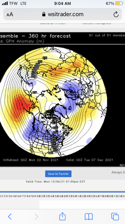
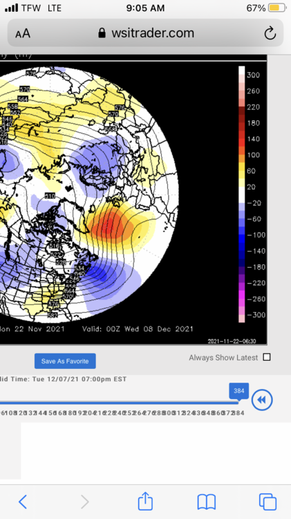
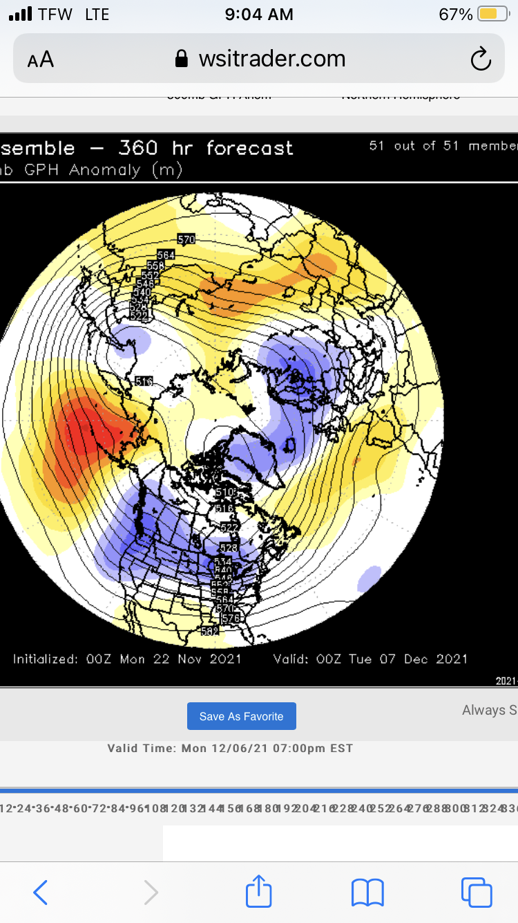
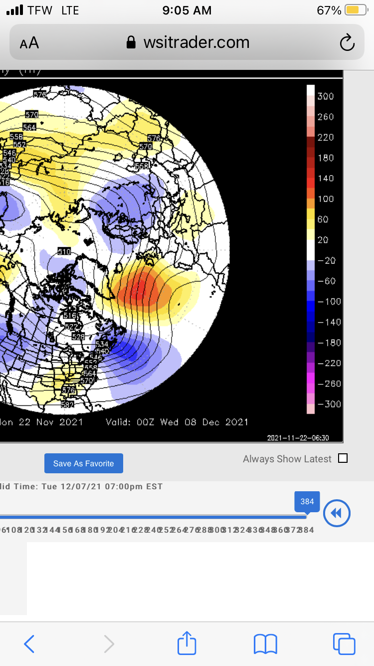
I think as long as that ridge doesn't retro west past the dateline, we would be ok. If it did move west, it would be ugly. No real blocking, so at the mercy of the PAC. Of course they could be totally wrong too. It's not my forecast, just stating what they show. -
December 2021 Obs/Disco...Dreaming of a White-Weenie Xmas
CoastalWx replied to 40/70 Benchmark's topic in New England
Weeklies look warm. Maybe not week 3, but week 4 looks warm. -
Water temps like 52 vs 49 or so will always be problematic. In general, you need a decent antecedent airmass or having winds stay more nrly.
-
Yeah, S/W really dives SE. Hopefully this has legs.
-
Yeah not bad. Some members showing this. Maybe something to watch.
-
Oh oh. Here comes euro for Monday.
-
I explained why a bit further back yesterday morning. I think maybe some of that ridging was a bit of voodoo in the PNA area, but anyways, I think it gets better after that.
-
It's poop until after first week of December.
-
December 2021 Obs/Disco...Dreaming of a White-Weenie Xmas
CoastalWx replied to 40/70 Benchmark's topic in New England
The GEFs and EPS I thought looked decent. They try for a little ridge bridging and keep the PV on our side. That’s a good thing. If anything the dateline ridge signal has gotten stronger. Again look beyond first week of December. That week is gone.