mob1
-
Posts
2,794 -
Joined
-
Last visited
Content Type
Profiles
Blogs
Forums
American Weather
Media Demo
Store
Gallery
Everything posted by mob1
-
You should be able to piece together enough for double digits.
-
It's a bit misleading as the snow moved in early so the entire progression of the storm started earlier and any changeover should therefore be calculated accordingly. That's why it missed the totals the way it did, other models had the duration of snow (8-10 hours) depicted far better.
-
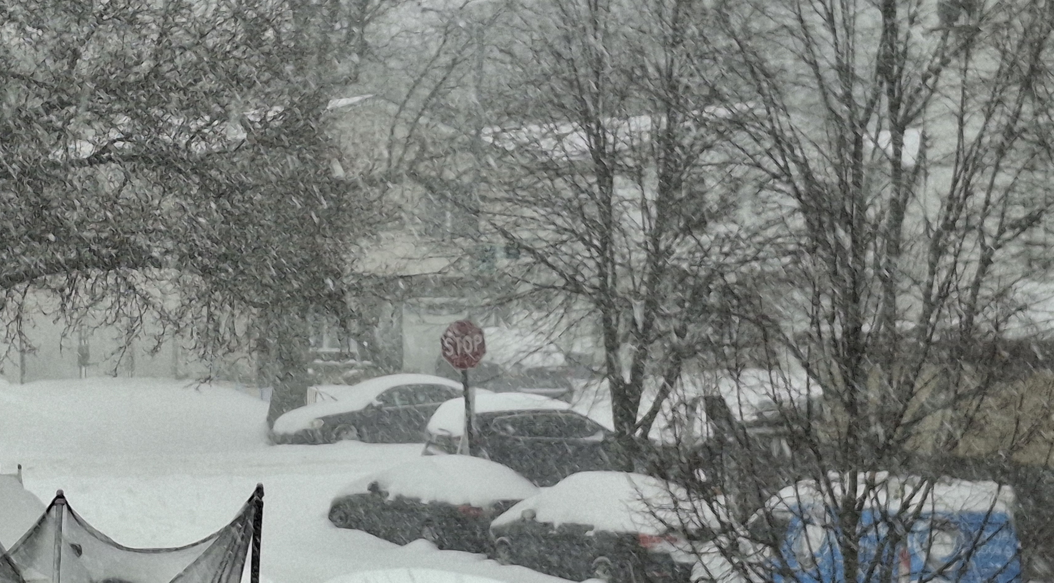
Cleared the board when it flipped to sleet so I don't measure with compaction, and I've added about 0.4" of sleet/snow since to put us over 10". Great storm
-
Went back to a 50/50 mix of sleet and snow.
-
Has a more NE heading now than the NNE one earlier.
-
Heavy sleet now as we get into the heavier echos (no snow as far as I can see) with a temperature of 16 degrees. This should continue for at least a few more hours.
-
Almost all sleet now. Radar has filled in nicely from the SW sleet should be fairly heavy for a while.
-
A bit of sleet mixing in now, 9.7" Double digits is a lock as sleet will still accumulate a bit.
-
Maybe longer if I'm still snow here. I'm usually the first to flip (in the city at least)
-
Radar seems to be filling in SW to NE a bit from Philly to just south of the city. Wonder if heavier precipitation will slowly down the mix line a bit. Still all snow here surprisingly enough.
-
Still all snow (holding my breath) and closing in on 10", need 30 more minutes or so.
-

-
Still have not seen or heard a single sleet pallet. 8.9" and counting.
-
Every minute in this matters. What a storm!
-
I guess I'm not far behind. For now, still snowing really good.
-
I'm in it now (not even the heaviest part, unless that's sleet) and it's really coming down.
-
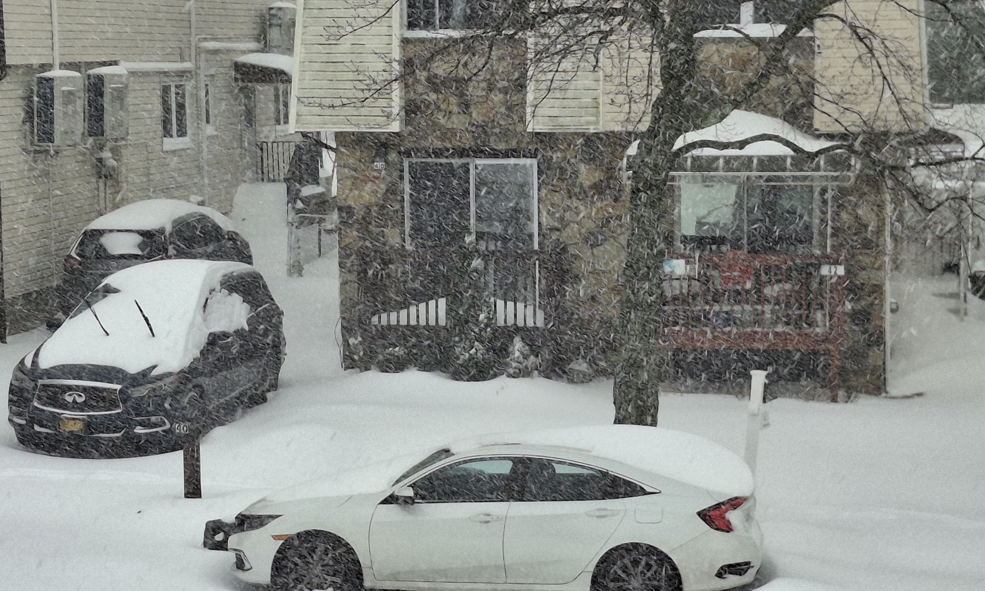
I can't believe how heavily it's snowing right now here
-
8" here with the heaviest snow of the day (by far) falling now. Don't care when the sleet moves in, this has already exceeded my expectations.
-
Dry slot in southern Jersey filling in some. Over 7" here and snowing nicely (though somewhat lighter than before and it looks like we're in a bit of a subsidence zone but should get out of it pretty soon).
-
That dryslot in southern NJ bugs me, I'm more concerned about that now than the mixing line. Either way, this storm has been amazing with 6" OTG and heavy snow continuing.
-
It usually moves in waves. Advances north, gets beaten back a bit, then surges north quicker and further north.
-
Cape May up to 30 degrees, parts of the Jersey shore will likely go above freezing as they have unfavorable winds off the ocean. For us, the coastal (or partial coastal if you wish, since the primary remains predominant for a while) keeps enough of a northerly component to the wind to save us. 14 degrees here and moderate snow. Eyeballing 3-4 inches.
-
I can't believe how cold surface temps are still around the area.
-
11 degrees and snowing in Central Park, not something you see often. 13 degrees with light snow falling here.
-
Next frame. RAP and HRRR have been getting warmer all day (not every run, but definitely overall throughout the day)