dendrite
-
Posts
75,089 -
Joined
Content Type
Profiles
Blogs
Forums
American Weather
Media Demo
Store
Gallery
Everything posted by dendrite
-
 00z MAV for tomorrow morn
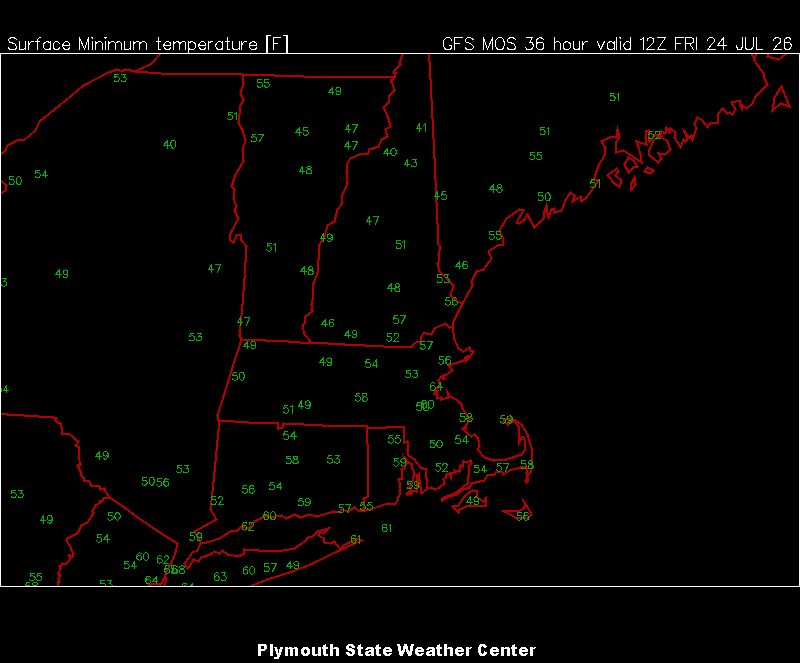
-
Min 52.0° Maybe cooler tonight
-
Coldest of our lifetime according to some
-
Feels like another late summer night Breezy and 63/53
-
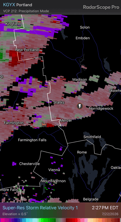
Top is ISU auto data plotter app. Bottom is from the NWS climo sections…NOWdata I believe.
-
Congrats @tamarack
-
I want my precip in summer.
-
Giant balloon? https://inflatable24.com/products/ufo-flying-saucer-balloon-inflatable?srsltid=AfmBOopf7G8rvNTarlRbG21WnOWwmZa2gIfgHzzuLd2DOnV4deqjitQl
-
I may have to leave the board

-
Nah I’m just building up resistance now

-
Lol f off
-
2 straight summers of webbed fists punching my nuts. Can’t wait for my 0.01”
-
Got muggy overnight. Some rain would be nice.
-
All falling apart as it gets up here. 0.70” month to date here and 1/3 of that was to start the month.
-
Meanwhile it’s the 2nd straight summer of sloppy thirds up here. Enjoy your rain rates.
-
Not done yet lol
-
Gonna have to suffer through it briefly. Upgrade coming sometime soon.
-
12z herpes kinda nailed the rain down there. Maybe a little under on the amounts, but it is the only thing I've seen with the right idea.
-
Hopefully you guys get a foot of rain
-
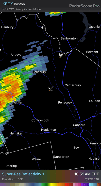
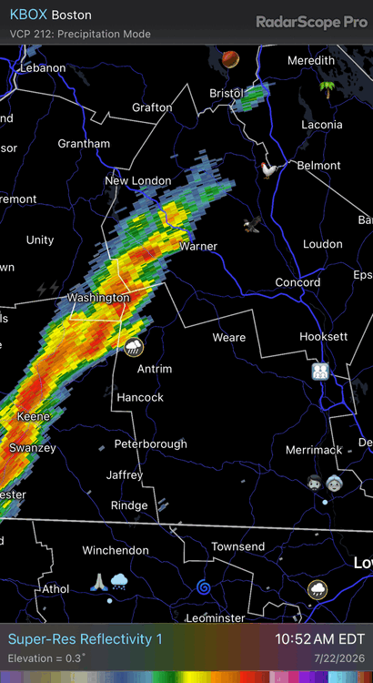
Radar looked lit for here, but only 0.04” so far. Tough stretch of
-
That’s beautiful though. I could live there if it wasn’t for the lack of light in winter

-
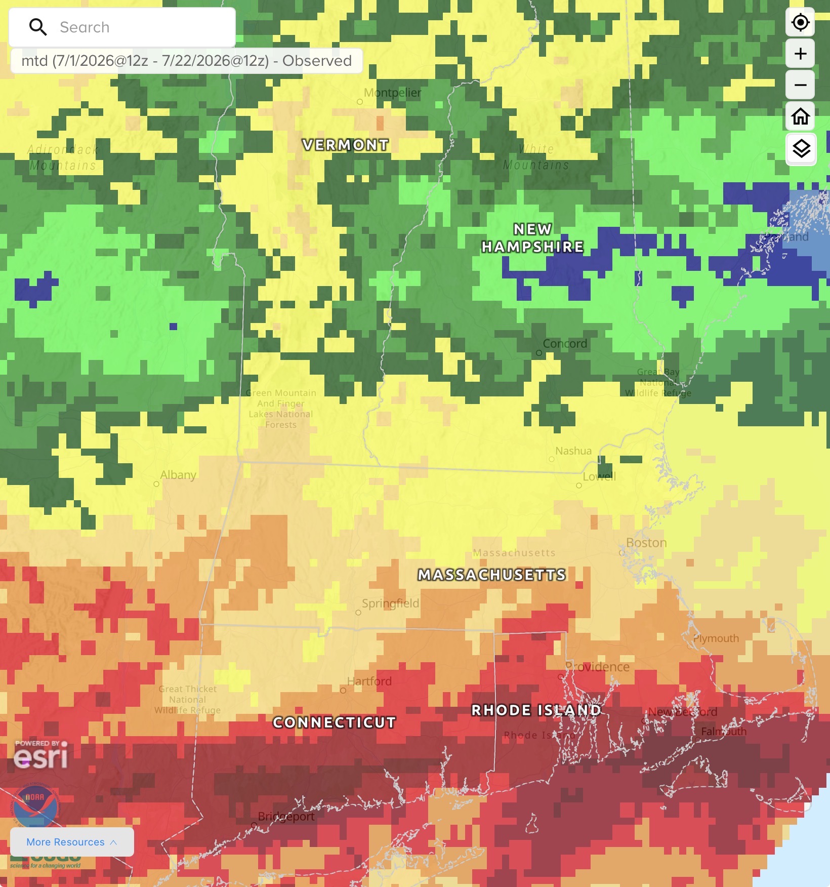
Today is the climo warmest day for CON. All downhill from here…sadly.
-
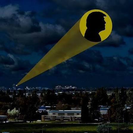
He could be deep in the Allagash forests and still get the Trump signal here
-
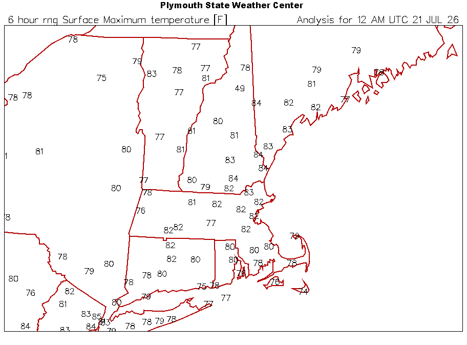
Widespread 80s on the coldest 7/20 of our lives