dendrite
-
Posts
74,430 -
Joined
Content Type
Profiles
Blogs
Forums
American Weather
Media Demo
Store
Gallery
Everything posted by dendrite
-
LFG
-
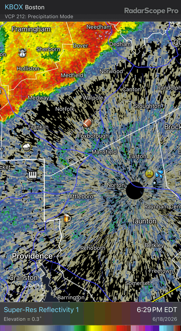
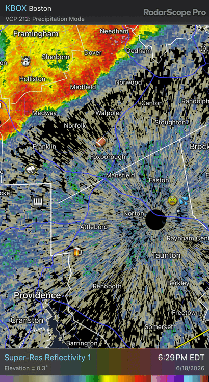
Good rains for all Just need to 7-10 TAN now
-
At least that’s salvageable and it didn’t snap at the graft.
-
Tor warned just east of there. Probably could’ve went further back for that cell too
-
Yup
-
Maybe you can get picked up?
-

-
From my phone…Sped it up 9x IMG_0609-ezgif.com-video-speed.mov
-
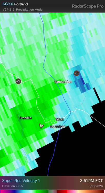
Looks like it had a brief blow up there on velocity before it weakened again. We tried to take out the Tilton Market Basket. Maybe next time
-
It was rotating.
-
Well that was interesting Keep an eye on that cell north of me downstream for a tor
-
Looks like it’s aiming for center Sanbornton. Probably won’t see too much on my cam. Feeling very safe.
-
This cam aims due N www.newenglandwx.com/northfield-nh/sky.jpg
-
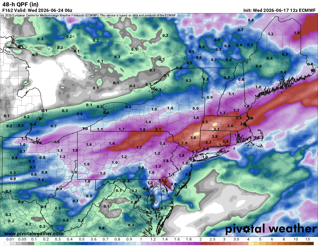
The line looks mostly boring up here, but there is that little wind max that traces back to E NY that is poised to pass just N of here. I’m enjoying the rain at least.
-
68/67 +SHRA Nice tropical downpours in these showers.
-
Wonder if we can punch a break in the clouds here before go-time, like E NY, if we can start getting the flow more 180-200 off of the Monads.
-
Maybe we can toss some cadavers on top of the coop from 2k in VT. My chickens would totally eat the scraps.
-
Hopefully more nice, safe rains later like this morning
-
58.7° +RA
-
Hopefully it rains so hard none of it soaks in
-
Stick? Ground is too warm.
-
Let them feast. It's a waste of time killing them. Once they move in they're there to stay. They will suck for a few years and then their numbers will wane a bit. Other animals start to learn they make a tasty meal.
-
Big boy hail south of ILX
-
Min 48.7° Frost on the pumpkin this morning
-
Wet and wedged up here until mid afternoon tomorrow. Puff puff pass