

CaryWx
-
Posts
2,832 -
Joined
-
Last visited
Content Type
Profiles
Blogs
Forums
American Weather
Media Demo
Store
Gallery
Everything posted by CaryWx
-
Has to be associated with the clipper system coming earlier maybe?
-
That's an odd bird snow map
-
Looks clipperish which is what RAH alluded to earlier
-
You mean this one?
-
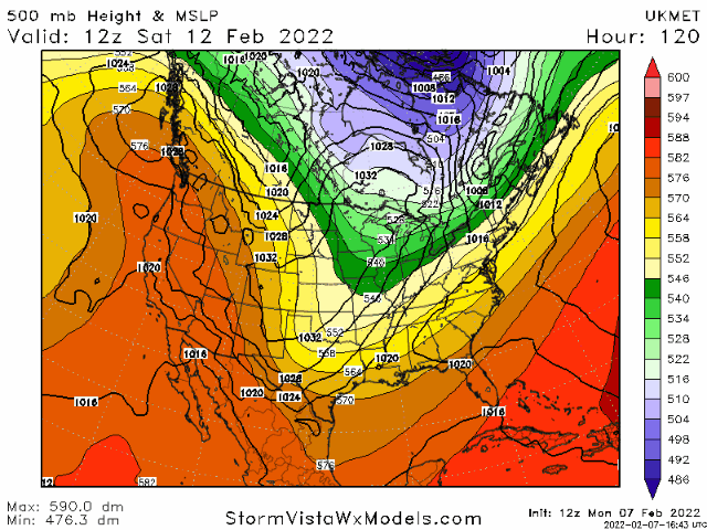
Yes, nice look at 160hrs+ I'll take it
-
Good thing nobody opened a storm thread.
-
That's almost painful to look at.
-
Doesn't sounding for rdu support a longer period of ip
-
Not a lot of ensemble support. Lots of pretty dry panels
-
As burrel alluded to though does a blend of gfs and euro produce more snow or do the synoptics (too amped= warm w/ice but less amped not enough precip?) on this particular set-up just not going to work that way.
-
Yes I know I was just renaming eyewall eyeore. Sorry it was confusing.
-
burrel, that was just funny. eyeore?
-
Does that include sleet. Always forget about what UK and CMC reflect in their frozen precip maps
-
Thanks Burrel. Looks like a pretty good snow sign at 850 (at that specific time) unless I have something wrong. Ground truth would be what I call dripping snow though unless 2m temps do indeed get driven down below 0c while 850s stay below 0c.
-
I'm skeptical this event produces much of anything for the Triangle beyond a little zr early on. As pointed out by others the cold is simply not there enough early on and retreating rapidly as storm develops. Congrats to the mountain (maybe foothills) folks. Think you score decently here.
-
Have to see if 0z gfs still has the system. Maybe colder like the euro?
-
Better than SC I would imagine unless it is a slider
-
Can you post?
-
-
unless I'm mistaken that's some pretty solid continental cold
-

Potential 1/28-1/30 2022 winter storm
CaryWx replied to Prismshine Productions's topic in Southeastern States
and maybe UK now -
Potential 1/28-1/30 2022 winter storm
CaryWx replied to Prismshine Productions's topic in Southeastern States
-
Potential 1/28-1/30 2022 winter storm
CaryWx replied to Prismshine Productions's topic in Southeastern States
Yeah, Fv3 was more like 18z gfs and euro. This 0z suite will be telling maybe. Need to see it swing more to NAM look -
Potential 1/28-1/30 2022 winter storm
CaryWx replied to Prismshine Productions's topic in Southeastern States
Almost all inside it's wheelhouse of 48hrs. Vast majority of this activity anyway. This is not some 72-84hr window we're looking at -
Potential 1/28-1/30 2022 winter storm
CaryWx replied to Prismshine Productions's topic in Southeastern States
If the NAM is wrong I don't wanna be right!

