

NorthShoreWx
-
Posts
5,510 -
Joined
-
Last visited
Content Type
Profiles
Blogs
Forums
American Weather
Media Demo
Store
Gallery
Everything posted by NorthShoreWx
-
Nice. I've camped there many times. Never had a stove in my tent though. Might have had a Sierra Nevada or two.
-
Haven't you done enough damage already just by buying the damned thing?
-
Solid coating for the forks: https://hamptons.com/all-live-cameras/
-
Winter's gonna have to do an awful lot of remedial homework to avoid that F. As for the ill will engendered with some of the other members here, that ship sailed long ago. But I'm willing to forgive if I see the effort made. Also 4" snow last night at 1k feet in Glen, NH. Significant underperformer. Snow chase fail.
-
About 4" in Glen, NH at 1000 feet. A bit disappointing.
-
It's 50⁰ in Fryeburg Maine and snowing at the base of the Wildcat Mountain ski area. Elevation FTW.
-
Snow flurries in Smithtown. 38° This is huuuuge!
-
This was at around 1850 feet near Mckenley Hollow in the Catskills last Thursday. It's pretty grim: https://scontent-lga3-2.xx.fbcdn.net/v/t39.30808-6/329446463_907437943791145_8500101841668863162_n.jpg?stp=cp0_dst-jpg_e15_fr_q65&_nc_cat=110&ccb=1-7&_nc_sid=9e2e56&efg=eyJpIjoidCJ9&_nc_ohc=uZNCzWgfyxEAX8jyxLr&_nc_ht=scontent-lga3-2.xx&oh=00_AfBX3cVrDbeLIUVcdVkCJahuFZOXEOLkjMRlP0ocqoQZkw&oe=63F1A6EF https://www.instagram.com/p/CoqGFoep-1I/?igshid=YmMyMTA2M2Y=
-
I lead a group hike in the cold weather Saturday morning. The air was super clear except for a hint of sea smoke on the Sound. This is what Bridgeport looked like from Sunken Meadow SP: https://photos.app.goo.gl/5ab43cCBUovTnxsTA
-
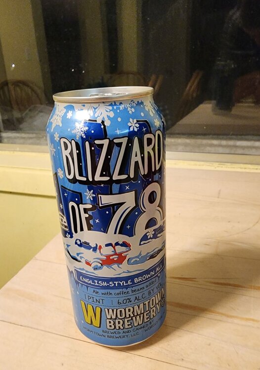
Same here. Still the greatest winter storm I have seen on LI. I bought a few of these back in December, but saved one for tonight:
-
6° with snow flurries at present in Smithtown. East end is a little closer to the cold core...lots of 3s and 4s there already on the forks. Even Block Island is down to 1. -7 to -9 city proper around Boston...right down to the water.
-
That's my friend Jack. I don't think he's hiking back down with me.
-
I should have postponed my hike. Baby it's cold up here.
-
Surface temperature gradient is modeled pretty tight just to our north. A little nudge in either direction and most of LI could go below zero ... or struggle to get below +10.
-
Not always. Check out January 1985, among others.
-
23z HRRR really hitting the CAA hard. Has temps here already in the mid teens before noon on Friday with single digits just north.
-
If the core of the coldest air was displaced a little farther to the SW, we'd be looking at forecasts of -10. From that perspective, it's a near miss, but not a miss to our northeast. Basically right in line with the tradition that the coldest eastern outbreaks of my lifetime have either centered to the northeast or the southwest.
-
The February 1943 cold spell wasn't in and out as fast as this one, but there are some parallels: YEAR Mon Day Precip Max Min Snowfall snowdepth 1943 2 11 0.42 51 28 0.1 0 1943 2 12 0 32 21 0 0 1943 2 13 0.62 39 25 3.4 2 1943 2 14 0 30 5 0 2 1943 2 15 0 8 -8 0 2 1943 2 16 0 22 4 0 1 1943 2 17 0.02 32 18 0.2 1 1943 2 18 0 30 12 0 1 1943 2 19 0 48 27 0 0 1943 2 20 0 63 40 0 0 1943 2 21 0 60 47 0 0 1943 2 22 0 61 40 0 0 1943 2 23 0 61 45 0 0 1943 2 24 0.11 62 39 0 0 Note: this was back in the days when the weather bureau bothered to record 0.1" snowfalls on rainy days.
-
It's like the day after tomorrow. Run before it's too late.
-
I've been slightly amused at all of the bets placed (figuratively) around here on an outcome that has never happened before. That's some high rolling.
-
This winter is a continuation of the pattern of the past decade. The north shore has had twice as much snow as Central Park. On a more serious, yet equally frivolous note, 0.4" here this morning. Same as the park.
-
Central Park at it again. Looks like 0.41" and they only reported 0.40".
-
Spoken like a zookeeper.
-
Sounds like you and your lawn are green with envy.
-
0.3" snowfall in Smithtown this morning. Brings the season total to a whopping 0.9"


