

Terpeast
-
Posts
6,687 -
Joined
-
Last visited
Content Type
Profiles
Blogs
Forums
American Weather
Media Demo
Store
Gallery
Everything posted by Terpeast
-
Lock it up
-
32 now. But not much melting if any
-
Since I moved back to the area, we've gotten zilch in March... so the WDI is off the charts.
-
Sacrifices must be made
-
Strat warming is on the atlantic side, so that should knock the AO back down. Can already see hints of it doing that in the dashed mean line starting to turn downwards right at the end.
-
Both GEFS and EPS have a follow up wave on the 15th after a cutter, with a cold enough airmass for us. I'll be watching that one.
-
LOCK IT IN
-
Phil says nasofast...
-
Looks like a potential swfe overrunning event from midwest to NE, but could include us depending on how well we hang onto the cold. Usual disclaimer applies
-
Nothing new. Lived through some bad runs and plenty of close misses here. At least everything is still white here with 6 ft snow piles as if we had just gotten a flush hit.
-
It does show some undercutting energy that could give us a mixed event or moderate snow if we could hold onto enough cold. Early for details, but it’s not a total shutout
-
And btw, the pattern we just had really delivered. We just didn’t have all of the luck on our side. Could just as easily have had 2 blizzards in one week, so if I see Jan 2026 analog again, I’ll by honking loudly about it.
-
Looks like a big change/flip in the long range over the last 24 hours. One run does not make a trend, but 3 00z/12z runs in a row just did a resounding repudiation of the freezing february pattern. Interestingly, AI ensembles led the way on this. We may be able to thaw this glacier out by presidents day weekend, or if its not as warm as progged, weekend after. Unfortunately we may have lost big snow chances for the next 2 weeks, and by the time it gets cold again with the SSW effect and weak MJO 3, we’d be running out of time by that point. Not saying it won’t snow then, but more likely to be smaller to moderate events.
-
No prob. I like the effort you're putting into comparing model forecasts, though.
-
Did you check the ensembles for that time period? We don't really go by op models beyond day 5-7 or so
-
I think the gfs is on its own for a northern band, there is cold press on the other models that will keep it central or south. Upside is what the NAM is showing, not surprisingly. Still a C-2” event, but whatever falls will stick immediately and be a more impactful event than if there was just bare grass on the ground.
-
Pattern still looks good. We’re not shut out, albeit a few days of a break (which we need haha)
-
That explains a lot!
-
IAD got 1.59” qpf with temps at high of 40 low 33, trace of snow. Too late in the season, but pull it up 1 month earlier it would have been a 16” snowstorm more or less.
-
When I went to take the trash out, I usually walk down a small hill to the bin behind the house. This time I slid down the hill on my feet. What a trip!
-
16 years between 1987 and 2003, yikes! Thank goodness we had 1995-96.
-
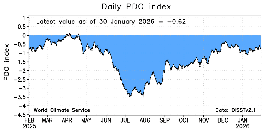
-PDO relatively pedestrian and close to neutral
-
Halfway through this winter and a 4th night in a row in the single digits with snowbanks as high as 5-6 feet, I am actually the most optimistic in a long time about the future of our winters. This winter and last winter, we have had a lot of cold and we’ve seen snowstorms to the south of us, and these aren’t winters that were supposed to be favorable going in. I know we’re jealous of Charlotte right now, but hear me out. Growing up here, I’ve seen plenty of misses to the south and bitter cold like this. I’ve seen both stretches of frustrating winters and blizzard bonanzas. We’re also in the middle of a long term drought. None of this is new. It’s as familiar as when I was in grade school. When (not if) the drought breaks and we get another winter where favorable patterns set in, we will get hit again… and hard. I guarantee it.
-
Makes me think we went through a bad streak of very warm winters, and now we’re just getting back to normal (albeit a couple degrees warmer than the old normal)
-
And that’s not a suppressive look like we have now. Still a pna ridge but not so tall that it pushes storms so far south


