

Dark Star
-
Posts
1,731 -
Joined
-
Last visited
Content Type
Profiles
Blogs
Forums
American Weather
Media Demo
Store
Gallery
Everything posted by Dark Star
-
I know NW Jersey is considered the icebox of the state, but for most of the population in this forum, the actual temperatures are considered seasonable...
-
The wind chill, yes, the temperature is arguably seasonal.
-
Last week's temperatures were 0.6 degrees below whatever is the current normal we are using. However, when comparing to the 20 years before that one, we were actually slightly warmer than normal. The wind however made if feel unbearably cold.
-
Could it be debated that lack of a solid cold pool of air over eastern Canada also keeps the overnight temperatures up? Actually, I don't think Hudson Bay has much to do with the minimum temps in New Jersey. It was the wind preventing radiational cooling and an less than classic cold air mass?
-
A little bit more than a dusting in Garwood NJ, central Union County. Fox Wx said it was mixed rain and snow in Manhattan?
-
Ye old snow hole effect in effect
-
Ye Ol' Snow Hole of northeast Jersey...
- 993 replies
-
- 1
-

-
- metsfan vs snowman
- bomb
- (and 2 more)
-
It is being "eaten up" by the dry air as we speak. Hopefully some of it finds its way here...
-
While the main storm appears to remain way south of our area, there is a large snow shield all the way up to Ohio?
-
Some model picked up on the last storm because the forecast was exact.
- 993 replies
-
- 1
-

-
- metsfan vs snowman
- bomb
- (and 2 more)
-
I wonder if they get any good snow storms?
-
I debated with one poster stating that it is not really that cold, more like "Seasonable", but it is the winds making the wind chill effect unbearable.
-
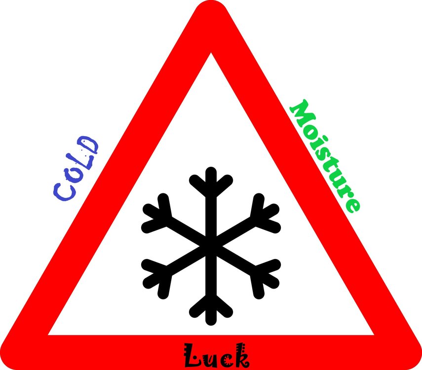
Actually saw kids playing hockey on a local pond in Linden today! Unheard of over the last 30 years or so (sort of). Can't have snow without a cold air source. That's why I have to keep posting my snow triangle (for the NYC metro area)...
-
I think he meant the long range look that was depicted?
-
In all fairness, I have tried to kick the habit of being a sports fan of any team, but the Orange and Blue still haunt me...
- 993 replies
-
- 1
-
-
- metsfan vs snowman
- bomb
- (and 2 more)
-
Isn't even that cold, except for the wind chill effect...
-
My parents used to tell me about growing up in the coal mining region in Pennsylvania, with frost on the walls in their bedrooms. They had down comforters...
-
I'll take the blizzard and snow pack. I'm used to the Mets losing.
-
The cold not so brutal, the wind does make it uncomfortable at times...
-

Snowfall NYC subforum Jan 6 and OBS if needed
Dark Star replied to wdrag's topic in New York City Metro
...and thar she goes... -
Sometimes when it snows, you can see the thinnest deck of clouds. Today is one of those days...
-
Snowfall NYC subforum Jan 6 and OBS if needed
Dark Star replied to wdrag's topic in New York City Metro
Just a light covering here in the Tremley Point section of Linden NJ. Exactly as forecast, but I'm surprised the dry air didn't just eat up the northern fringe... -
Garwood received 4.0" of the white stuff during December...
-
Snowfall NYC subforum Jan 6 and OBS if needed
Dark Star replied to wdrag's topic in New York City Metro
I think I was reading last night how the suppression will increase the closer to the coast you get? -
Snowfall NYC subforum Jan 6 and OBS if needed
Dark Star replied to wdrag's topic in New York City Metro
Pretty, pretty, pretty dry...


