MANDA
-
Posts
2,811 -
Joined
-
Last visited
Content Type
Profiles
Blogs
Forums
American Weather
Media Demo
Store
Gallery
Everything posted by MANDA
-
Southern tier from the plains to the southeast is torching. Stronger than expected and retrogressive blocking saved the day for the norther tier from the northern plains east into New England and south to about the Mason Dixon line keeping us near normal or slightly below normal. Without that block some of that warmth would have easily spilled into our area. We got lucky, no Christmas torch this year. Longer range (yeah, I know longer range) is looking foreboding in terms of Arctic Cold. EURO going full bore.
-
 Finished with 2.5" here. Really came down good for about 2 hours after my last post. I would have to give this an "over perform" at least based on what I was expecting. Was thinking 1 to maybe 2" here but even overshot the 2".
 -
Nice snowman ! Bummed you will be leaving the area.
-
There is an extreme cold pool over western Canada and all of Canada has deep snow cover. This cold pool will not modify anytime soon. Get some of that on a favorable trajectory over snow covered ground and it could get seriously cold around here as we move toward or through the first 10 days of January.
-
30 degrees. Just measured 1.2”. Moderate snow ongoing. 78819674661__AF54E413-0C78-4150-BCBB-133BE39C69FE.MOV
-
Some of my old stomping grounds. That garden center (family owned) has stood the test of time. All of the others in the area sold out to developers. I suppose this one will as well at some point. Great place and nice people. Nice picture in the days before Christmas.
-
Been a while since the coldest air in the hemisphere has been on our side of the pole. We’ll see how things play out as we move through early January.
-
Anyone check out the cold over NW Canada? Currently -40's to -50's F over Yukon and NWT. Even a few spots at -60F currently. Mid to LR forecasts continue to build the cold over the next week. Where it goes beyond that is the question. Does it stay bottled up in Canada and slide more east than south or does in make a run south into the U.S. either is pieces or a large Arctic plunge? I think all options are on the table but something worth following.
-
Hideous.
-
When I'm wrong I'll admit it. I was not expecting this 10-14 days ago for Christmas week. Was expecting a relaxation of the cold but nothing like this nearly coast to coast torch. Euro EPS did well sniffing it out. GFS was not even close to reality. I was expecting a relaxation of the cold Christmas week but then a return to significantly colder between Christmas and New Year's. Not happening.
-
Nice! SE New England is hurting some though. Would love to see the same chart for the same date last year. We're off to a good start so far. Past performance is no indication of future results though.
-
I don't care what anybody says. That is impressive and was well advertised. We'll see where the month actually ends.
-
Temps dropping steadily. Down to 15 here.
-
Walt. I for one and I suspect most here will l miss your threads and very insightful and detailed posts. Have followed your AFD's since you were up at KBOX. I might have even saved some in a box somewhere. Many of them were meteorological masterpieces. Learned so much from you. Truly a treasure to have your insights here on these boards over all these years. You are 100% correct that health and family come first. I wish you all the best at Christmas, in the New Year and always! Please drop in here as you can even if just to post obs. THANK YOU !
-
I'd have to say this event over performed for most.
-
Wider view of snow cover.
-
Sun is breaking through the clouds here.
-
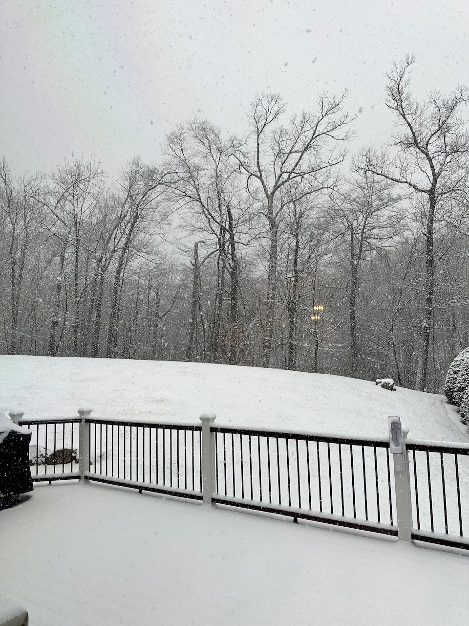
Exceeded my expectations and my forecast up this way. Was thinking along the lines of 3" max. Measured at 8am - 5.5". Melted .46". The NW edge of this really over performed for NWNJ area. Great old fashioned snow event with solid totals and colder air pouring in behind the system. Currently 21 degrees here. Mid teens to low 20's over NWNJ currently and likely not rising much today. Bitter cold tonight with solid snow cover. By the way the snow ratio here was 12:1.
-
Just a shame really. One of the longest periods of record and it has just been destroyed. From not measuring snow correctly to having temperature sensors in a thicket. Station with a long period of record has just been shot to hell.
-
https://www.americanwx.com/bb/uploads/monthly_2025_12/78737872339__848BC808-B7C3-4D99-8C53-71C29ED07154.MOV.5779d31ad20290d90b645e14252c8d0d.MOV Currently 29 with steady light snow.
-
Moderate snowfall 12/14/2025 WWA up for most of the area
MANDA replied to WeatherGeek2025's topic in New York City Metro
Down to 27 with steady light snow now. Total .20”. 78737872339__848BC808-B7C3-4D99-8C53-71C29ED07154.MOV -
Moderate snowfall 12/14/2025 WWA up for most of the area
MANDA replied to WeatherGeek2025's topic in New York City Metro
That's what you call a trend right there ! -
Moderate snowfall 12/14/2025 WWA up for most of the area
MANDA replied to WeatherGeek2025's topic in New York City Metro
Very light snow here. Still 29 degrees. Just a light coating on everything at this point. Less than .10" so far. Nice solid area of snow on radar covering all of eastern PA. Just about to cross the border into NJ. Should be snowing at a better clip here inside of 60 minutes. -
Moderate snowfall 12/14/2025 WWA up for most of the area
MANDA replied to WeatherGeek2025's topic in New York City Metro
29 here and just the lightest of flurries. My forecast for around my area is 1-3". Not expecting to reach 4" around here unless this over performs this far NW. We'll see how it goes. Best to everyone....enjoy!