
Bob Chill
-
Posts
36,386 -
Joined
Content Type
Profiles
Blogs
Forums
American Weather
Media Demo
Store
Gallery
Everything posted by Bob Chill
-
Never was in the game for snow but it's colder than forecast down my way. Sitting at 30 degrees and precip should start around 3am. Frozen is frozen or something like that lol
-
I was just going to post this response lol. NAO has been mostly positive since 2011 lol. Majority of times we've had a -nao it was bootleg and not really classic. Jan 2016 was a good west based one. We wasted a few others but if you look at the #s it looks like we wasted some good ones but they really weren't that good in reality. #s don't tell the whole story. A good -AO (which has also been lacking) pushes the northern jet south entirely so colder air is more entrenched over a much larger part of the conus. That works too even when the nao isn't friendly. Stale air is still cold in the mids and not running away like a scalded dog. There have been some pretty big stretches in the past with mostly +AO winters but the current one is def on the long side. Would make a huge difference to have a good 30-45 day -AO. If it was right now the current storms coming over the next week would be whiter than wetter but it's not breaking that way. Cold is running away pretty quick and it's not very deep to begin with. Dec 2013 had a big artic high that pushed way south before heading east. The cold highs over the next week or so are pretty shallow and on the move. That's dicey in January.
-
Hope all my old digital friends to the north have a great holiday. 3 of our 4 kids made the trip for the weekend and we're eatin' good tonight. 16lb brined and spice rubbed bird just came off the smoker. 3 hour cook using lump charcoal and a couple chunks of apple wood in the mix. Havent had any yet but pretty sure it's going to be amazing
- 396 replies
-
- 13
-

-
BWI: 19.2" DCA: 11.6" IAD: 22.3" RIC: 9.8" SBY: 11.7"
-
Oh yeah
-
I'll be happy with one accum event before the holidays lol. Overall nothing shows a "snowy" pattern but all lr guidance is advertising "cold enough to snow" temperatures for several weeks in Dec. We don't want mega cold anyways. Giant departures require giant high pressure and without looking back at data I'm pretty confident guessing that ice box December's are very dry here. From what I'm seeing we probably don't have much of a chance before Dec 10th but the next couple weeks after that will have enough cold over or around us to present a chance or 2. My yard requires a lot more work than yours this time of year so my imby lr forecast isn't very optimistic lol but I'll always root for the DMV
-
Winter rarely just blasts into the MA early season. It's a carving process and we're usually 3rd on the list when it happens (MW first, NE second, etc). First week of Dec looks like a carving process to me. This is an interesting jet panel. If you animate d10-15 it's pretty clear that the eps wants to press (or carve) the northern jet down into our latitudes. Still not good enough here but the process is ongoing Overall it's an encouraging jet structure with split flow and convergence. Mean QPF panels show moist SW flow embedded in this. If this verifies, areas to our west and NE will be in the crosshairs for overrunning type snowfall. If the carve continues southward it would be our first real window of opportunity beyond d15. Patterns like this can be active with precip but not really a big storm pattern. Which is probably good. It's really really hard early season to get a wound up storm to track underneath of us or be cold enough for snow. Much higher odds with a weaker shortwave zipping along
-
The ultimate model "inverse can kick" period of all time was JFM 2014. It was uncanny
-
Clear skies but not happenin down here yet. Milky way looks cool tho lol
-
The weeklies H5 that Will posted is pretty ideal for small/moderate events. I dont really like big downhill/uphill patterns. Potential for bigger storms is better but lots of waiting and high risk of things not turning the corner in the right spot. The broader trough can be more active and shortwaves can get going much further west with good trajectory for the MA. TN Valley overrunners and things like that. In dec, big amplified stuff can often have temp problems too. Atlantic air moisture draw isnt nearly as friendly as Jan/Feb. Entrenched cold overrunning is easier to produce in Dec
- 484 replies
-
- 15
-
-

-
Third event in the last 18 months down here. Kinda pedestrian. Last fall was better hahaha

-
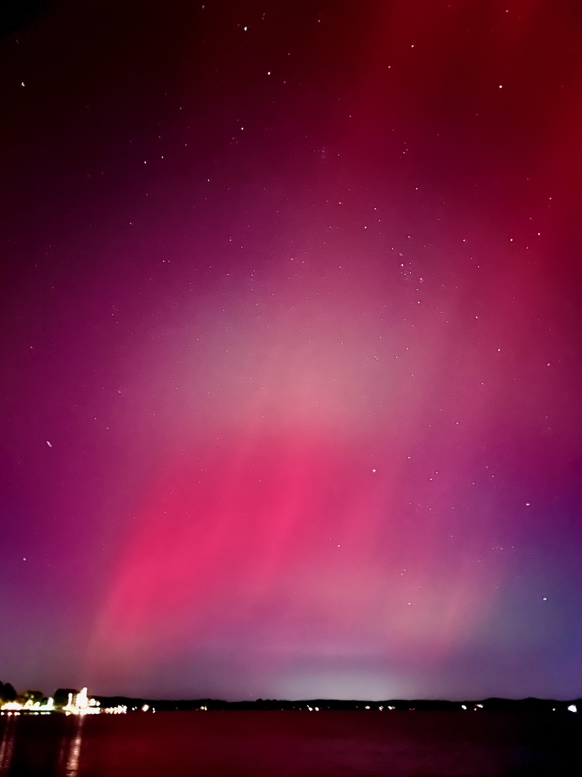
Took a quick look 10 mins ago and was easy to see with naked eyes. 4 second exposure on this pic so obviously enhanced lol but I could see the red thru the branches with my eyes as well. Thought about running down to the lake for a big horizon pic but man it's windy and cold. Maybe tomorrow.

-
Getting some faint red down here. You can see it with your eyes but it's faint. Night mode on camera juices it up pretty nicely

-
As long as it shows lots of digital snow it's a great model.
- 484 replies
-
- 10
-

-
-
-
Fun NAO stat. The last 2 Ninas that had a monthly Nov NAO reading below -1.0 were 95 and 2010. Hard to say if we notch a -1.0 reading this year but off to a good start anyways. Also, the speed and magnitude of the current AO and NAO drops were missed by the gefs D7 progs and they missed by quite a bit. That's unusual as the 7 day forecasts are usually pretty close. We'll see how it goes but early signs continue to point towards the potential for the front side of winter to be pretty blocky
- 827 replies
-
- 10
-
-
100%. While there was copious cold during the 70s, big storms were mostly absent until 79. Otoh, the 60s mostly rocked. The 80s were solid but things quieted down after the Vet day storm. The 90s struggled and if 95-96 didn't happen then it would have been a lost decade for the most part. 2000-16 was really good for bigger storms but not without a few epic bust storms and some real gut punch seasons. The period after the Jan 2011 storm thru Mar 2013 was God awful but it was just a few years even though it felt like a century lol. Then 13-16 happened... 2017 thru 2024 was been ho hum but is it that uncommon to have a period like that? Not really when you think about it. Last year was a real winter even if it was sub climo snow. You could say last winter was similar to the bulk of the 70s. Our winters are streaky good and bad. Been that way since I was born. A hot streak of bigger storms is coming and based on the last 8 years or so, prob sooner than later. Wx around the world has been more extreme in general and there is no doubt in my mind that a bigger storm than Feb 2010 or Jan 2016 is coming here at some point.
- 484 replies
-
- 13
-
-
-

-
Ha! It was a poor attempt at humor. When we're in the middle of a 55-60 degree stretch in Jan with hopeless D10+ progs, SSW talk enters the chat like clockwork. And it never amounts to much lolol. Imho, some winters just want to work and others don't no matter what. Wasted blocking and random storms in the middle of futile indices are as common as typical/predictable stuff that produces. The early signs of the upcoming winter are promising. I think we can all agree on that. I've suspected we're on the front side of a longer duration blocking cycle for a couple of years now. Get things right in the AO/NAO region for the balance of winter and a ratter is prob off the table. Big winters outside of mod ninos are notoriously hard to predict. 13-14 was pessimistic leading in and we all fondly remember that one. I certainly didn't see it coming in Nov. The early Dec storm was a signal but then it got crazy warm before legit winter set in for 3 straight months. Any event during the first half of Dec is usually a reliable sign of an "acceptable" winter. So far it looks pretty good in general for that this year. Time will tell as always
-
We need to stop the strat talk STAT! If there's any winter weenie index over the last 10+ years that basically ensures a nasty struggle then epic fail... its the Amwx SSW index. The more posts about it the less chance of anything good happening. There's literally 100s if not 1000s worth of post data backing this up. I mean sure, scientifically a SSW can be a precursor to blocking and cold/snow in the east but the more it gets hyped here, the less chance of it working out. This is a fact. But weenies gotta ween and my yards gotta fail. Thanks man
-
If by we you mean me... lala lockitup
-
Unless I'm forgetting something in between, we haven't had a legit lasting HL blocking period with a real -NAO since Jan 2011. We really are due for one
- 827 replies
-
- 11
-
-
Current CFS Jan h5 is a good visual of what I recently posted irt split flow+blocking during a "Nina". This is a sweet looking prog....
- 827 replies
-
- 11
-
-
So far it looks like the "nina" is weak sauce so I'm not really expecting classic nina climo dominating door to door. I think other variables like the ao/epo/nao will have more influence on our sensible wx and I wouldn't be surprised if there is split flow at times. Im really liking early ao/nao signs right now. I'm still feeling mediocre about snowfall but that comes with the territory and we're pretty much always northern stream dominant in all enso phases except for ninos. However, get a -2sd ao/nao going and it opens the door for a hybrid storm that passes underneath us. Those can work here but not without anomalous blocking. Its been so long since we've had an extended blocking period that we all expect it to not happen lol but I'm feeling unusually optimistic about it until further notice
- 827 replies
-
- 11
-
-
Posted this is the wrong thread so I moved it here lol
- 735 replies
-
- 27
-
-
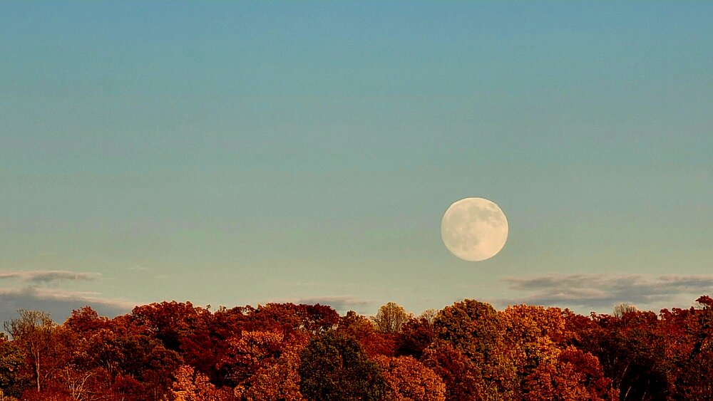
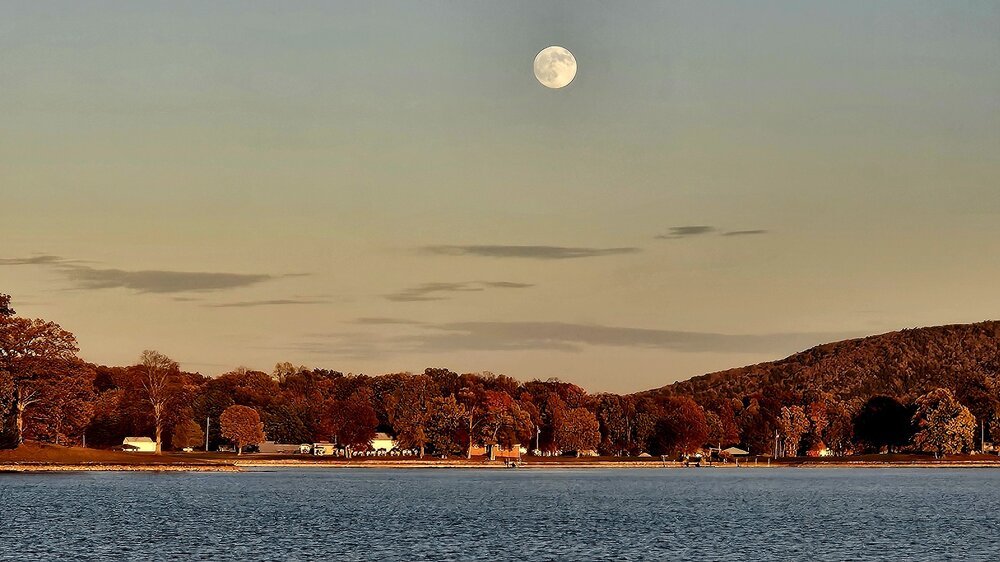
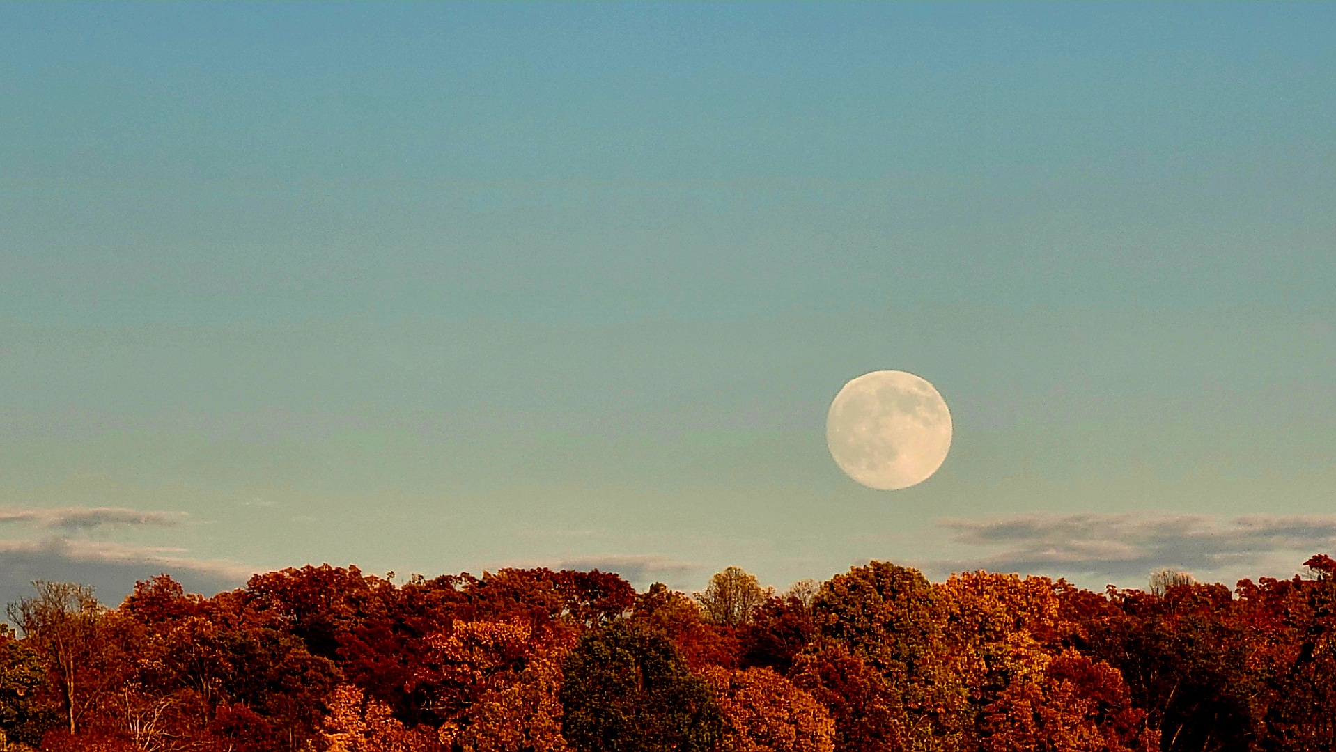
Fall scenery has been epic down here this year. Ready for snow now lol
.thumb.jpg.a331dc12fae42d50f83d96633688a053.jpg)
- 735 replies
-
- 23
-
-
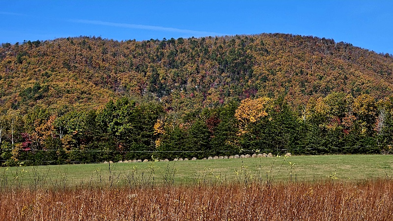
Been raining down here since 4pm. Stiff east winds and 48-49 degrees. Would be a nice snowstorm down here and hearbreak up there if it was 2 months later. Maybe winter is showing it's hand early


.jpg.3781af55bf072c1a63d264e0cb298392.jpg)