

Herb@MAWS
-
Posts
2,075 -
Joined
Content Type
Profiles
Blogs
Forums
American Weather
Media Demo
Store
Gallery
Everything posted by Herb@MAWS
-
Temp has fallen from 45 at 4pm .... to 35 at 6pm. So nice getting some fresh cold air 24 hrs before a storm.
-
Back to normal: temp held at 33 with drizzle all night.
-
Sidewalks and my side street iced over. Street is slippery but drive-able. 27.5°
-
Looks like snow grains now. 27.9°
-
Columbia: temperature holding for a few hours at 27.9. Sleet and ZR.
-
Columbia: Temp bottomed out at 26.8 after dawn. Rose to 27.4 with precip onset and hasn’t budged since. A little more sleet now IMBY.
-
We need lots of “grains of salt” on those sidewalks.
-
Columbia: Temps here have dropped a few tenths of a degree since dawn, down to 26.8 just before 8am.
-
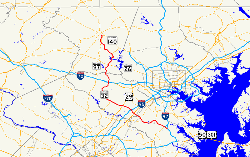
FYI -- for those asking about Route 32's alignment. So if someone says ice/snow mostly north of Rt 32, that can be misleading depending on where you are. It is clearly not an E-W alignment the way, say, Route 70 is.
-
Even Houston is getting in on the icy action.
-
Columbia, noon on 2/12: overcast w/a few flurries and 27.9°.
-
Just measured and shoveled. Also close to 4" IMBY, with compacting. A wet snow altho surprisingly not too heavy for shoveling. Dawn/overnite low temp was 32.2, but now 31.5 at 8:15am. Light snizzle ongoing.
-
Columbia, 6am: 32° with snow, eyeballing about 3.5"
-
6:45pm Columbia, just in from walk. Pouring a cold, wet snow, lots of fine flakes — but coming down. Grass has a white film now. Will be covered white in 10 mins. Cartops about 1/2 covered, snow hasn’t been going good all that long. High 40.7, now 35.1 altho one seldom-used thermometer mysteriously says 33.
-
Columbia overcast 39/20
-
Noticed that for Columbia too. Mine went from 1-3” to 2-4”, plus 1” more Thursday morning.
-
Noticed that for Columbia too. Mine went from 1-3” to 2-4”, plus 1” more Thursday morning.
-
37 sunny in Columbia. High clouds not hiding sun here.
-
It’s all about MBY. Perhaps one more good band approaching for parts of Howard County.
-
It's events like this when I rationalize to myself "at least it'll be easy to shovel" -- if I even have to shovel at all! Temp has rebounded slightly from 33 to 34 with lighter rates and higher ceilings/slightly brighter skies.
-
Columbia, east side: Temp has fallen about 2 degrees to 34.7 with all snow. Grass is still green but with a white covering quickly taking over. Streets appear only wet from inside. Steady, mod snow.
-
Columbia: In last hour rain with sloppy flakes .... has gone to all snow. Big, wet flakes. Temps fell from 36.8 to 35.1.
-

Jan 31st - 33rd Storm Obs and Disco like it's 1979
Herb@MAWS replied to Bob Chill's topic in Mid Atlantic
Has been fairly continuous light snow showers blowing around all late afternoon and evening. Snow TV— or more accurately Snowlight TV. -
Jan 31st - 33rd Storm Obs and Disco like it's 1979
Herb@MAWS replied to Bob Chill's topic in Mid Atlantic
A solid 2" IMBY since Monday 6pm. Gets me over 10" for the season. -
Jan 31st - 33rd Storm Obs and Disco like it's 1979
Herb@MAWS replied to Bob Chill's topic in Mid Atlantic
6:30am Columbia -- 28.1 4.6" thru Monday evening, but light snow most of the night and pretty decent band ongoing Tuesday morning.
