

Wow
-
Posts
8,072 -
Joined
-
Last visited
Content Type
Profiles
Blogs
Forums
American Weather
Media Demo
Store
Gallery
Everything posted by Wow
-
The 18z GFS has begun!!!!
-
GFS looks great. Plenty of cold and now our western wave is nearly on its own. Now it's just waiting until the GFS can get the wave vort energy phasing correct. 0z had it right, 6z shot the sheared some of the energy out, 12z less so but didn't get it the vorts phased well enough. This is normal progression of the models. Enjoy!
-
GFS shears out the collection of shortwaves. Suppressed and cold. Not bad to see at this time. Got the Greenland ridge back.
-
0z GFS bringing the Greenland block back by 160 hrs
-
Trough just east of HI - no SW mean trough. It'll force it east.
-
Yes, some similarities.
-
 Prepare for the Major Winter Storm coming to affect areas up and down the East Coast. Log in and keep up to date with the latest trends and forecasts from our registered meteorologists and large community base. http://www.americanwx.com/bb
 -
 awesome
 -
 awesome
 -
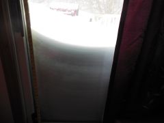
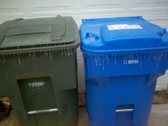
From the album: Jan 25 Icy Weather
-
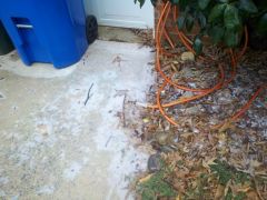
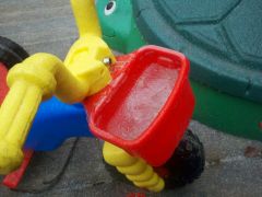
Photos around the house
-
-
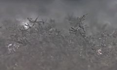
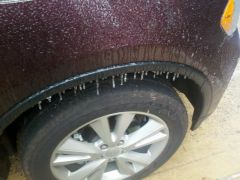
From the album: Jan 25 Icy Weather
-
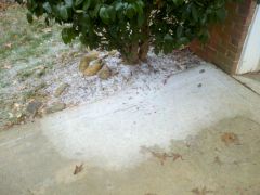
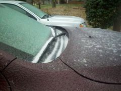
From the album: Jan 25 Icy Weather
-
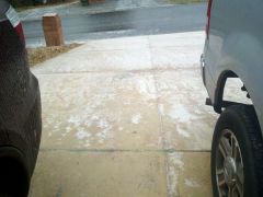
From the album: Jan 25 Icy Weather
-
From the album: Jan 25 Icy Weather
-
From the album: Jan 25 Icy Weather
-
From the album: Jan 25 Icy Weather
-
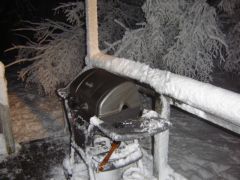 Just got a new grill!
 -
Some non-mets have asked for blogs recently and we're aware there are plenty of members here who are just as informative as a degreed meteorologist. Therefore, we'll allow access to blogs for non-mets by request and allowed on a case-by-case basis. We're stilling figuring exactly how to go about doing this but you can still reserve your place once we get a plan in place. Just PM one of the admins. Thanks.
-
I am considering an exception to qualified non-mets - we have plenty of them. Just wanted to open with the draw for mets to contribute.
-
Welcome and thanks for participating! I look forward to reading your blog entries. I hope the blogs can encourage more people like you to get their word out there.
-
[quote name='WilkesboroDude' timestamp='1354920054'] Very neat! Just wondering tho, what are the differences from a met just creating a thread in his/her region? Wouldn't there be more viewers there? [/quote] Thought about it
-
[quote name='WilkesboroDude' timestamp='1354920054'] Very neat! Just wondering tho, what are the differences from a met just creating a thread in his/her region? Wouldn't there be more viewers there? [/quote] Met has full control of posts within their blog. Met can also put links to their entries into a thread.
-
Welcome mets to the new Blog System offered by American Weather. I hope this new feature will help your thoughts stand out from the crowd with the use of your own personal space. Spread your word! As you become acclimated to the new system, if you have any questions just shoot me a PM.
-
..and pinned for some of the newcomers to read through.