-
Posts
5,436 -
Joined
-
Last visited
Content Type
Profiles
Blogs
Forums
American Weather
Media Demo
Store
Gallery
Everything posted by SnowenOutThere
-
GFS is definetly better upstairs so far. We have a further west NS thanks to a better ridge
-

January 24-26: Miracle or Mirage OBS Thread!
SnowenOutThere replied to Jebman's topic in Mid Atlantic
Made a thread to go over the storm -
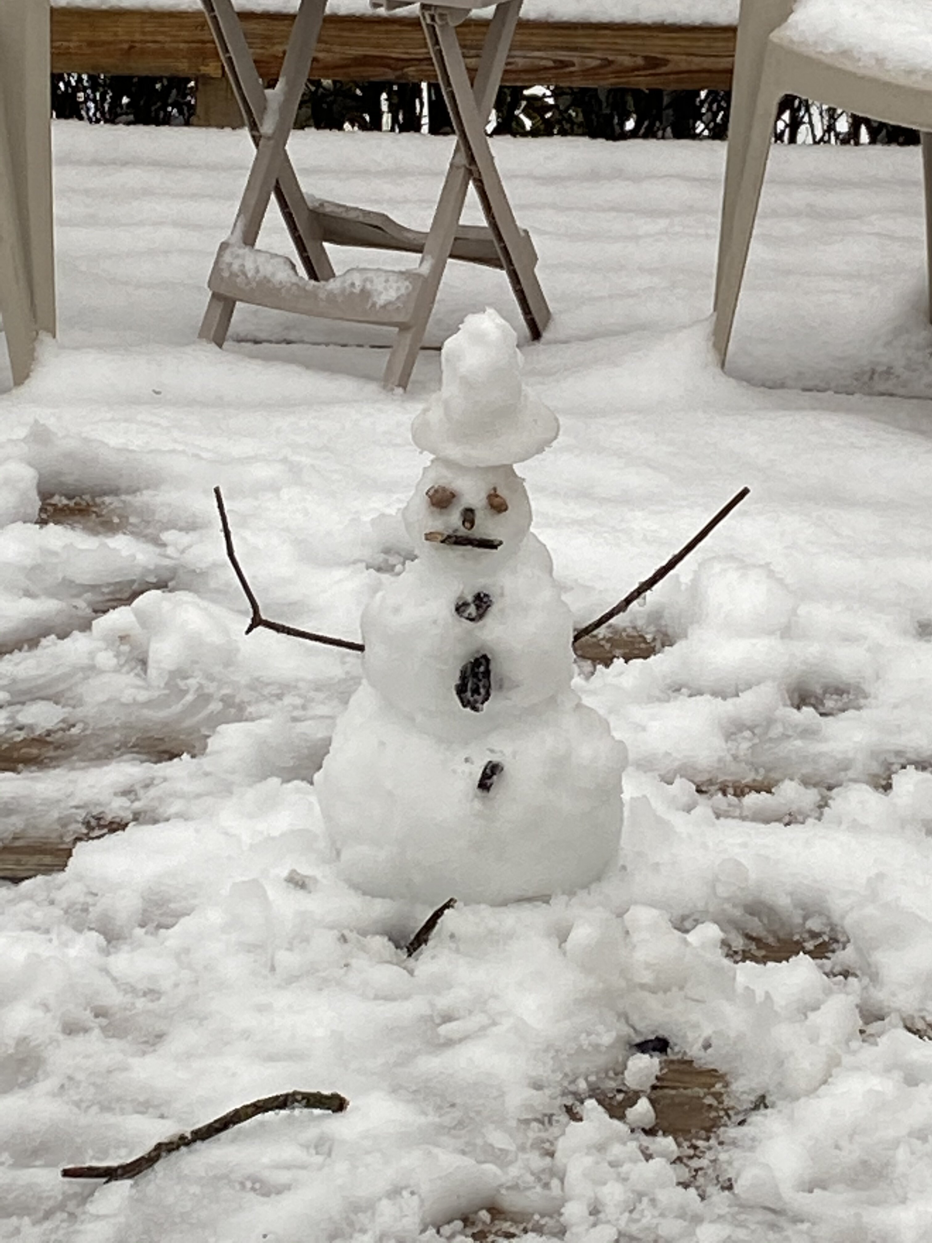
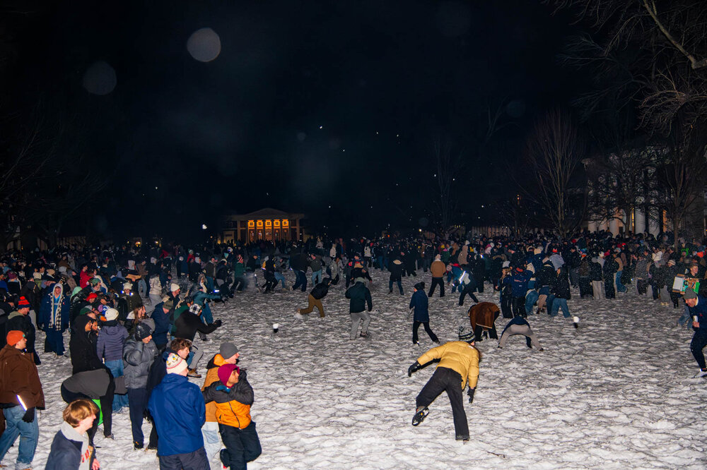
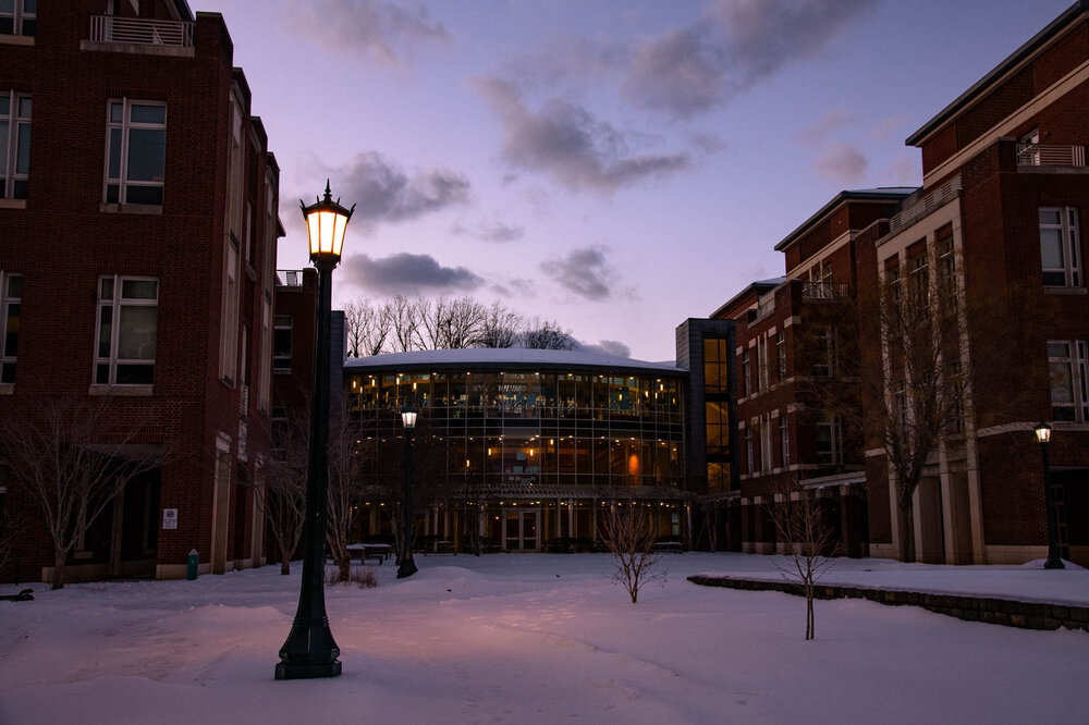
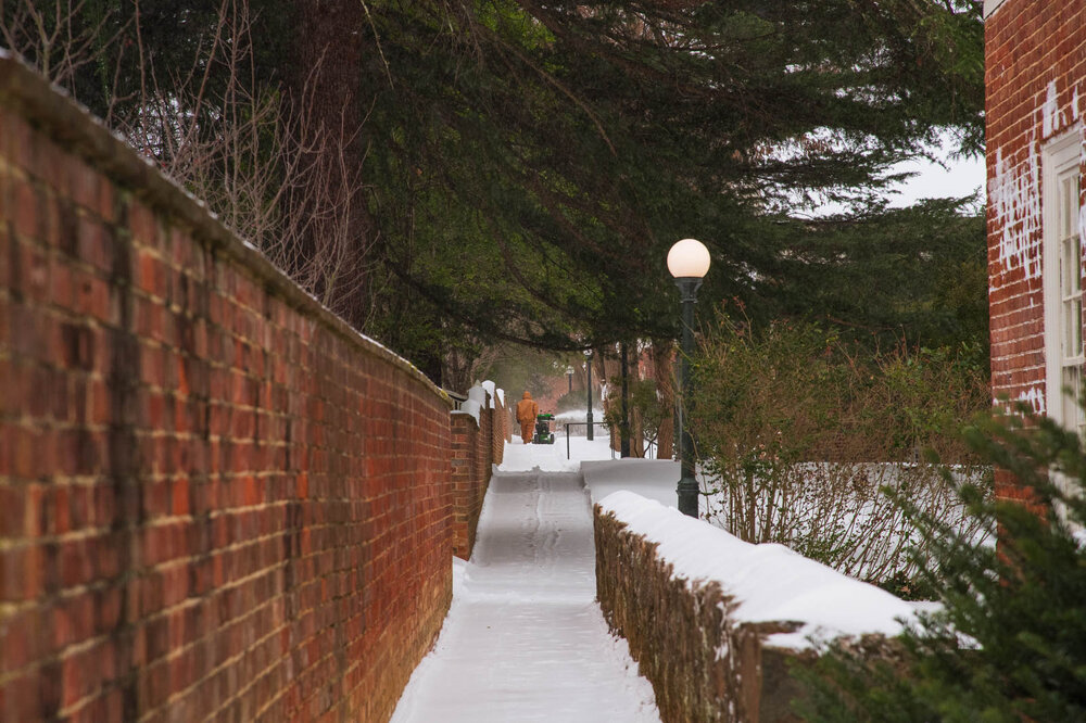
Hi all, I think an important part of big east coast snowstorms for us weather nerds is to do a post storm analysis of what we both individually and communally can do differently next time to create a better experience for both ourselves and each other. Additionally, this isn't supposed to be a strictly what went right or what went wrong thread; I think we all know the rough details of how our setup shifted due to interactions with the NS, PV, and 50/50 low. Though, that type of analysis is also more than welcome. Personally, this storm taught me a lot both from analyzing our atmosphere and how mailable it can be alongside allowing myself to set better expectations of storms in the future. Additionally, it reinforced to me that storms, the atmosphere, etc, does not owe us anything, instead it simply just is what it is. My dad compared it to sports; you can analyze it, predict it, watch it happen, but ultimately all of that is independent from what will occur. It's pointless to spend hours trying to will a storm north/south/east/west in a vain attempt to change an outcome that we simply cannot know. In the future I think its just not enjoyable personally to spend so much time tracking a storm like last weeks, at least from so far in the future, maybe within 2-3 days before the event its worthwhile but even then this previous storm showed how things can keep adjusting till the final day. In some ways it did remind me of our legendary Feb 20th bust of last year but less complete; though now between those two events it clear to see it simply is what it is and that is okay. So, in the future to keep both myself and this forum a happier place I'll prob aim to make less frequent, though hopefully higher quality, contributions. Finally, while I spent the last paragraph more or less acting like this storm broke my spirit that's not the case! I thoroughly enjoyed this storm! If anything, it was me trying to express how I can best a storm in the future as I generally find storms to be awesome when they catch me off guard to some extent. For example, last week I got a mini snowstorm that no model had and it will be a highlight of this winter! So I think for me that's what I want to replicate. Of course, I also like just being out in the snow/sleet and taking pictures, watching people deal with it, and seeing a different world. This storm gets points for all three of those as it was really quite neat, though just partially hurt (for me) due to expectations I shouldn't have had. Anyways, here are my favorite pictures from the storm!
- 6 replies
-
- 13
-

-

-

-
Man I've tried doing a bit of synoptic breakdown with this upcoming system and the difference between a 6z euro run and a 12z run is just so minor. Not quite sure what to even root for when extrapolating the models before hour 60. After then its pretty clear we want a further south and west NS dive with higher heights out in front thanks to some interaction with our 50/50. Otherwise I got nothing.
-
Ridge axis is a bit further east but seems to have a more potent NS energy dropping south. The main NS energy which retrogrades and drops over us might be in a slightly better position but I'm not sure.
-
They showed that Cvill got 22 inches of snow during Sunday. They literally lie about the past and future. I assumed it was just some random model output combination but I'm convinced it just randomly picks the highest possible output and runs with it. Even then I have no idea how it got a short term forecast so wrong when any model had half its amount. Maybe we as a forum should write them an email? Genuinely someone should do something about this
-
I think its an intriguing setup but not really one to get invested in at all. PSU's post about the western ridge axis pretty much sums up my thinking as of now. We also shouldn't be living or dying by the OP models quite yet, as even the GFS ENS have a decent signal. Instead I think its unlikely, though not quite a long shot, to get an appreciable storm into our area. Comparing this setup to last week at this time is a completely different ballgame as well. By this point last week we could say confidently that someone on the east coast would get a foot of snow, since this setup is more NS based I wouldn't feel comfortable saying that till Wednesday. Also want to watch the tilt of the western ridge. The 12 Euro has it more W-E which seems to hurt us.
-

January 24-26: Miracle or Mirage JV/Banter Thread!
SnowenOutThere replied to SnowenOutThere's topic in Mid Atlantic
Just submitted my application to intern at the NWS for summer 2026! -
Dude look at the H5 vort map on the 18z Euro and see how perfect it all went. It's not impossible but I wouldn't call it likely. As a side note after this storm instead of seeing how storms might succeed my analysis is based on how they could fail as that grounds it better considering our reality.
-
I looked under the hood at the H5 vorticity maps and man this one will be hard to get right. Its a bunch of energy that retrogrades under the block in the NS that dives south while a piece of NS energy out of Canada dives south and picks up moisture. Personally, I think the odds of all of this happening is pretty low. I'll check out of this till Wednesday at least
-

January 24-26: Miracle or Mirage OBS Thread!
SnowenOutThere replied to Jebman's topic in Mid Atlantic
Freezing rain has begun as the fire hose of a cold front chugs by -

January 24-26: Miracle or Mirage OBS Thread!
SnowenOutThere replied to Jebman's topic in Mid Atlantic
Ultimately I'm glad I stayed down here for the storm. Though I am jelous of the people (including my family) who got 5 inches of snow and then 2 inches of sleet instead of 2 inches of snow and 3-4 inches of sleet. Also I look to get dryslotted for a bit but the convective sleet showers beforehand mean business. -

January 24-26: Miracle or Mirage OBS Thread!
SnowenOutThere replied to Jebman's topic in Mid Atlantic
-

January 24-26: Miracle or Mirage OBS Thread!
SnowenOutThere replied to Jebman's topic in Mid Atlantic
Considering its still sleeting heavily way down here I think that you'll be okay. I will be slightly disappointed if I get no freezing rain to make the trees pretty so hopefully I get the switch soon. -

January 24-26: Miracle or Mirage OBS Thread!
SnowenOutThere replied to Jebman's topic in Mid Atlantic
Looking like I'll get dryslotted in the next hour after heavy sleet showers. Measured 5in of snow/sleet. Wonder if I'll get any freezing rain. -

January 24-26: Miracle or Mirage OBS Thread!
SnowenOutThere replied to Jebman's topic in Mid Atlantic
Anyone know where the freezing rain line is? -

January 24-26: Miracle or Mirage OBS Thread!
SnowenOutThere replied to Jebman's topic in Mid Atlantic
Doesn’t matter so much for sleet/freezing rain. As long as the 850 down to surface is sub freezing we prob don’t have enough warmth in the atmosphere to get ice. -

January 24-26: Miracle or Mirage OBS Thread!
SnowenOutThere replied to Jebman's topic in Mid Atlantic
Lmk your storm total. Interested to see how it compares to mine The SPC meso analysis shows our 850 temps well into the negatives still so we’re probably safe for a while. -

January 24-26: Miracle or Mirage OBS Thread!
SnowenOutThere replied to Jebman's topic in Mid Atlantic
Yep. Just saw sheets of sleet. Wonder when we’ll flip to freezing rain -

January 24-26: Miracle or Mirage OBS Thread!
SnowenOutThere replied to Jebman's topic in Mid Atlantic
It’s not. Really fun burst of sleet though! -

January 24-26: Miracle or Mirage OBS Thread!
SnowenOutThere replied to Jebman's topic in Mid Atlantic
If it makes anyone feel better UVA general public is currently experiencing the heartbreak that we’ve been drip feed for a week all at once. Lots of posts of how could this happen and where’s my 15 inches. -

January 24-26: Miracle or Mirage OBS Thread!
SnowenOutThere replied to Jebman's topic in Mid Atlantic
Measured 4 inches of frozen OTG. Just pounding sleet out right now. Roughly 2 inches of sleet already with a ton more precip to go. -

January 24-26: Miracle or Mirage OBS Thread!
SnowenOutThere replied to Jebman's topic in Mid Atlantic
You wanna talk about a debacle? Western NC is getting dryslotted while they were forecasted a world altering ice storm. Ofc it’s good for them that happened but gonna be some unhappy people. -
Correction for me it was 2 inches of snow and over a dozen hours analyzing the setup. I think I’ll disappear after this storm for a long time.


