Ephesians2
-
Posts
586 -
Joined
Content Type
Profiles
Blogs
Forums
American Weather
Media Demo
Store
Gallery
Everything posted by Ephesians2
-
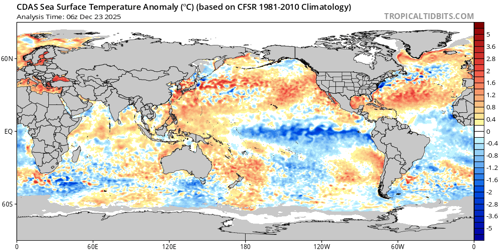
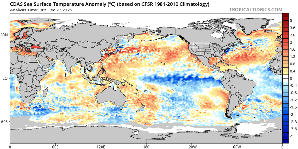
PDO looks much improved from the fall.
-

Richmond Metro/Hampton Roads Area Discussion
Ephesians2 replied to RIC Airport's topic in Mid Atlantic
-
Richmond Metro/Hampton Roads Area Discussion
Ephesians2 replied to RIC Airport's topic in Mid Atlantic
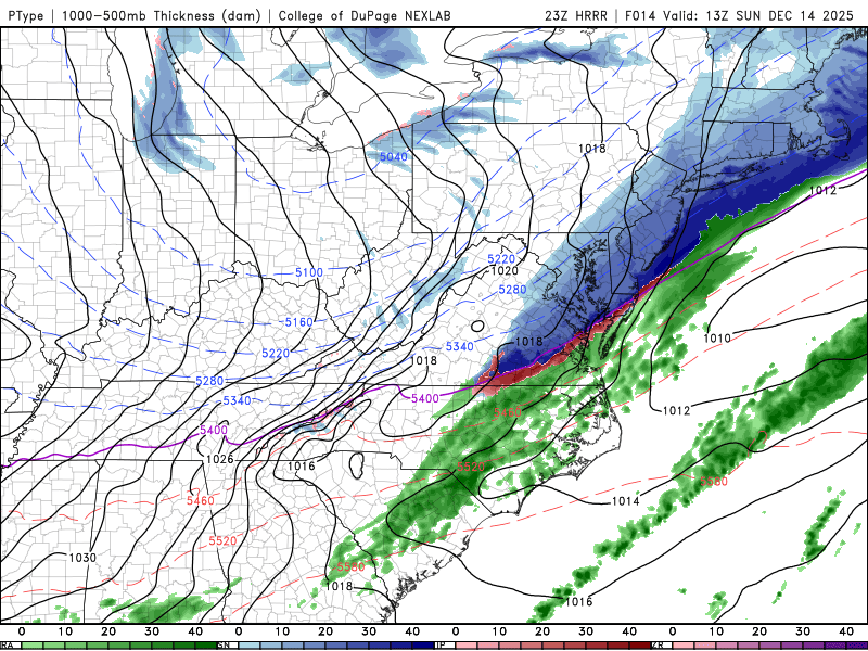
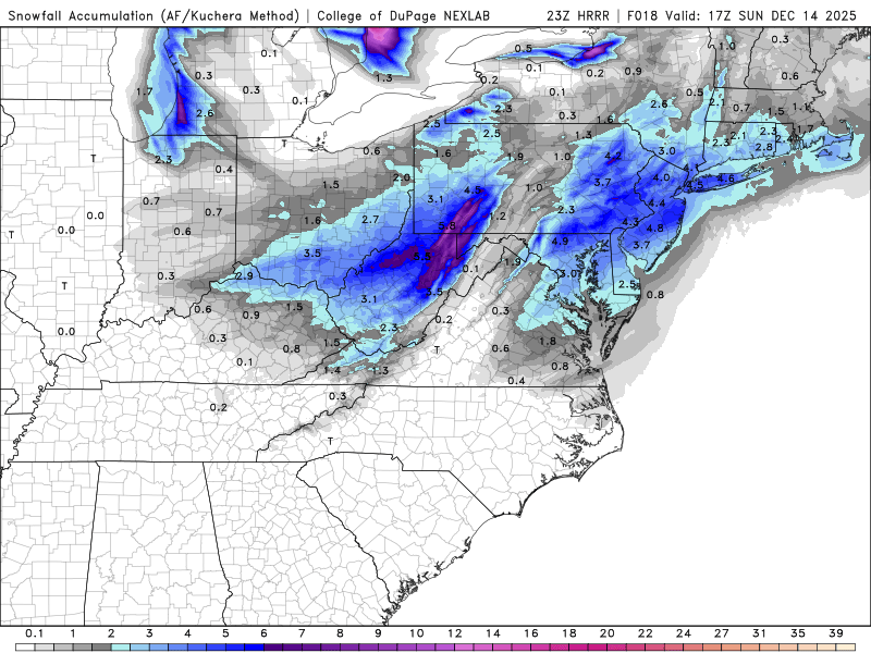
Models are trending towards bringing a band of snow through your area overnight/early morning. I'm probably too far west to get in on it even if it keeps trending south/west with the precip, but I hope the RIC contingent can get in on accumulating snow a third time this year:
-
Might be controversial, but I'd rather have this than cold without snow
-
12/12: The little Friday clipper that could? Or won't.
Ephesians2 replied to dailylurker's topic in Mid Atlantic
.png.b3418019a4dd245ed8210696139aac4d.png)
.png.0a3928445754a19bd7a9c751fa85b18f.png)
.png.abd993b6c552dd6c46b3687f27a83d70.png)
-
12/12: The little Friday clipper that could? Or won't.
Ephesians2 replied to dailylurker's topic in Mid Atlantic
NWS issued a WWA for me for 1-3", and based on guidance it would be a mild surprise if I even see a coating tomorrow. -
12/12: The little Friday clipper that could? Or won't.
Ephesians2 replied to dailylurker's topic in Mid Atlantic
Looks like this storm is pretty much gone on most of the models. Oh well. -
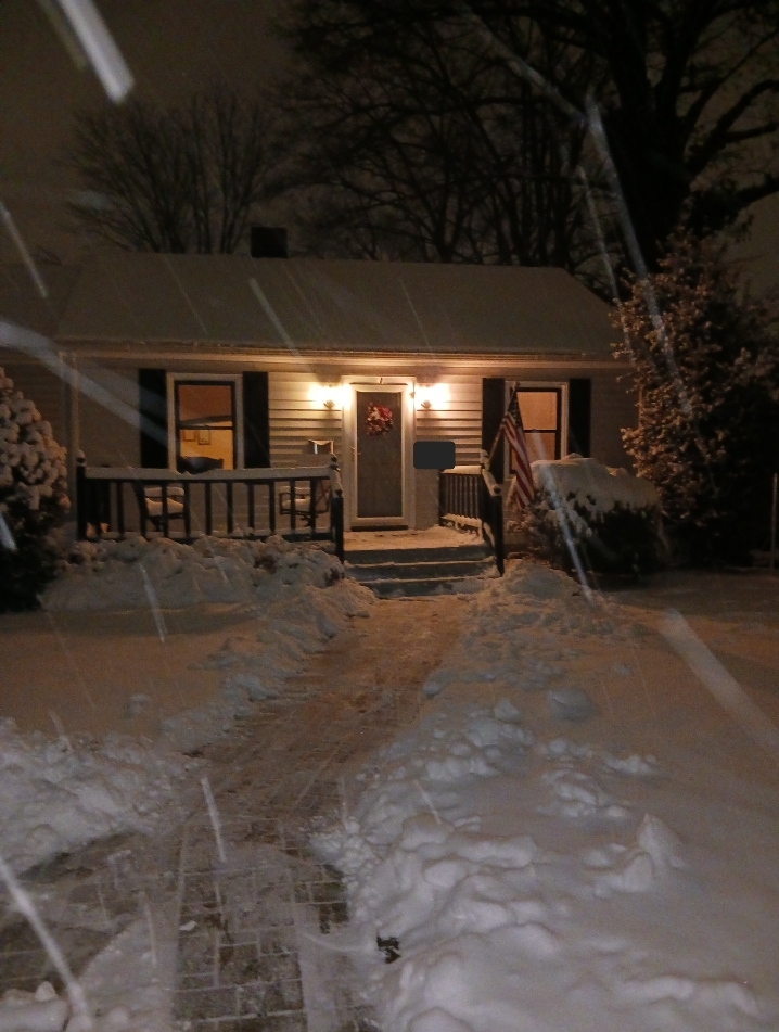
12.08.2025 4.7" Total 8.1"
-
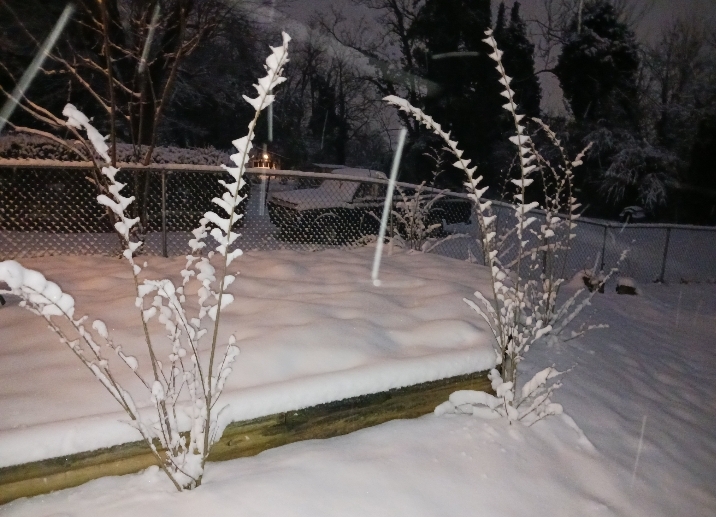
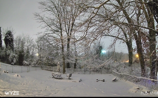
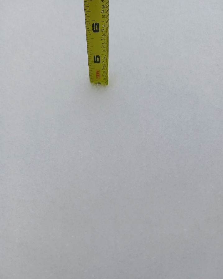
Storm total - 4.7" Measured 4.3" around 5:45 and an additional 0.3-0.4" since then. Snow depth is between 4 and 5 inches depending on where I measure, maybe a bit more in the grass. What a wonderful snow day.
-
This was the vibe: I really, genuinely hope you all get this type of event this month. Also, we can get back to our specialty down here - sleet and freezing rain
-
A foot of sleet would be pretty cool. Freezing rain, no thanks.
-
Richmond Metro/Hampton Roads Area Discussion
Ephesians2 replied to RIC Airport's topic in Mid Atlantic
Congrats guys! -
Finally getting the high ratios some models advertised. Returns have been pretty light, but could have easily picked up an extra half inch or a bit more in the past two hours. It's very pretty, fluffy light snow. It has been snowing, albeit fairly lightly at times, for almost 14 hours now.
-
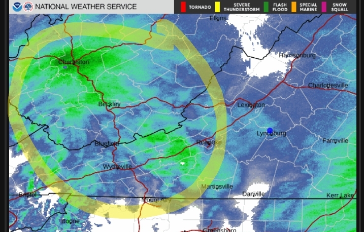
Pixie dust here as well. I wonder if this precip ends up making it east. The models seem to say some of it does but if not most of Central VA is probably close to all done
-
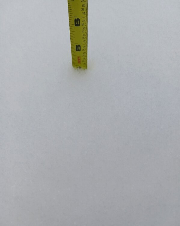
Measured in three places -one 3.5, one 3.75, and one just under 4 (below) Going to call it 3.7" at 2:15 in Lynchburg VA
-
Rates starting to pick up. Measured 1.75" just now. Thus far it has been a pretty wet snow.
-
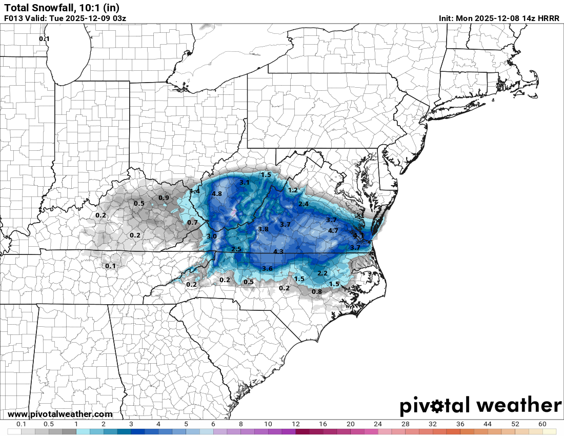
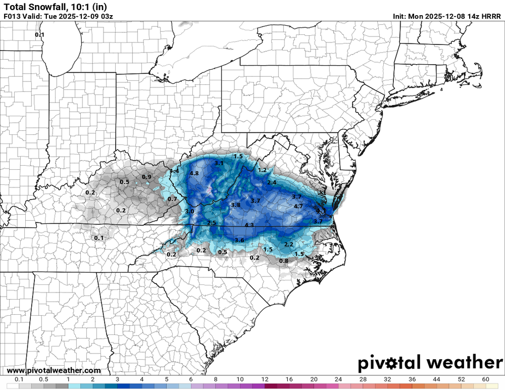
latest HRRR - still a bit more for RIC and east at this point:
-
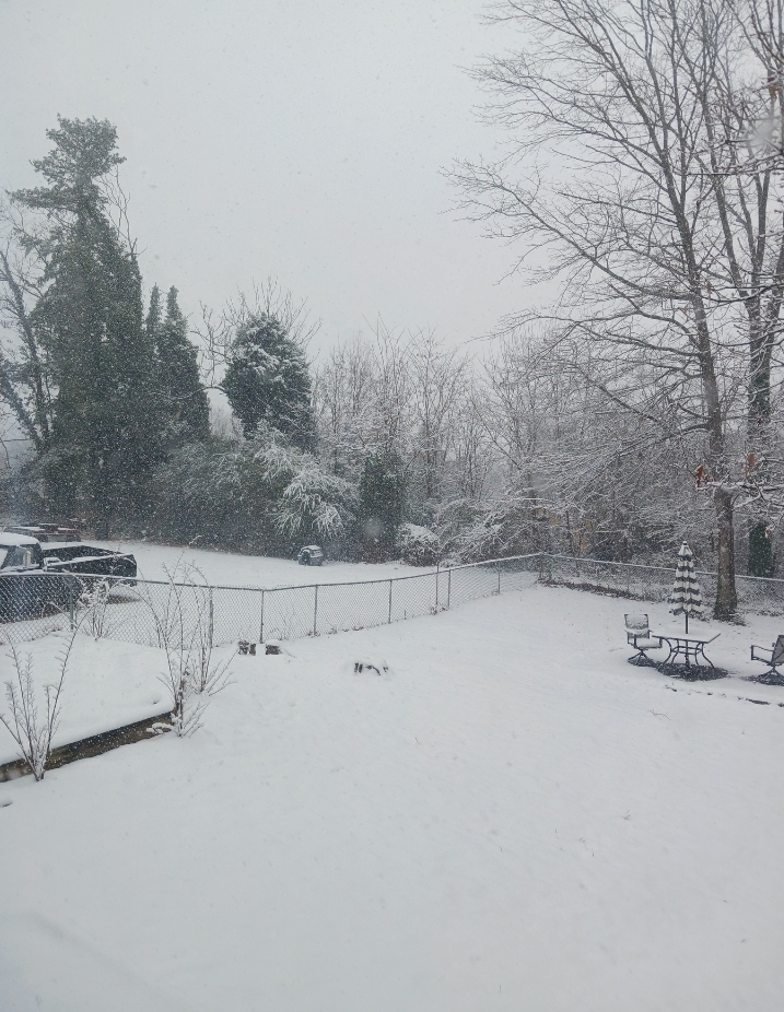
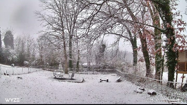
currently in my windowless office but view from my backyard now:
-
This is so much of a moister atmosphere when compared to friday. This is all steady, accumulating snow
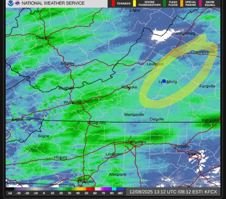
-
Light snow with pretty small flakes. Sticking to all grassy services now, sidewalk just in the beginning stages of caving
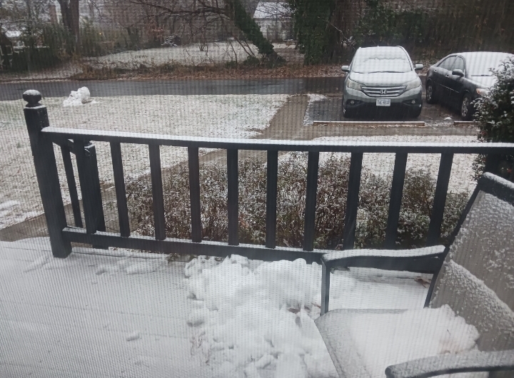
-
light coating on grassy/elevated surfaces. Steady but pretty light snow with tiny flakes. 33 degrees now - had a weird temp spike just before sunrise but it has come down since then.
-
From Blacksburg AFD: 00z RAOB still indicates a shallow warm layer just above the surface and below 850mb, which would indicate a brief period of rain occurs at the onset of the precipitation. Any rain should be brief as indicated by the wet bulb temperature, which supports all snow once the column completely saturates. Looks like this was expected. We should be fine.
-
First flakes (although very light and might have had a brief period of drizzle first) No hours of virga this time.