Spanks45
-
Posts
3,983 -
Joined
-
Last visited
Content Type
Profiles
Blogs
Forums
American Weather
Media Demo
Store
Gallery
Everything posted by Spanks45
-
3.5"...cleared a section to see how much more in the morning...
-
I'm at 3" now...last heavy band moving through now...looks like the mix line is staying away for now, so maybe we can add some over night to get 5", would be my second biggest storm in the last almost 3 years...
-
yeah, one could hope for sure...I feel like I have noticed both the Euro and GFS tend to be too moist right before go time on our recent events, but yeah, no way were are seeing almost 0.8" here unless that radar fills in a ton over the next couple hours. Oh well, I feel like anything above 5 would be a win here
-
Gfs, not really backing down from 18z...still has a heavy band straight through CT, 6-8 in that zone, maybe a lollies to 10 somewhere..
-
I hope not....nice to see the mix line wash out with heavier echos moving in from the SW...hopefully still on track for another 3-4 inches
-
Just had the dog out, quick measurement was 2.1" so far...27⁰ west side of Southbury
-
 The Nams look odd, especially down in SWCT....Barely any snowfall for NYC area either, odd
 -
Snow has started, 30/20....
-
The Rap is kinda similar, just a bit more precip than the hrrr....Euro is 0.7 to 0.8 here, GFS is 0.9ish and the Hrrr is now 0.3 and Rap is 0.4ish. Precip cut in half on the meso models, I mean even the 3k @18z was 0.6
-
That model keeps lowering every hour, hope it's wrong....i mean we have the gfs printing out over 0.7" of precipright before gametime. I would hope those 2 aren't that wrong...
-
The Euro is gearing up for Springtime just to our south....any flex from the SER and birds start chirping their Spring songs. Euro and GFS OPs couldn't be any further apart it seems in the 10-15 range.
-
Lets go! I think the over/under here is pushing 6 as long as the sleet line doesn't push in too soon and/or the thump underwhelms
-
Going to build a glacier with this look....would be nice to get some snow in between, but frozen is frozen
-
GFS has me sleeting with a temp of 15°...nice
-
I will certainly take the 12z GFS....
-
I was just going to say the 3k looks cooler aloft, at least just enough for around here. Higher res might be better at this point for these small temp differences....Hope its right
-
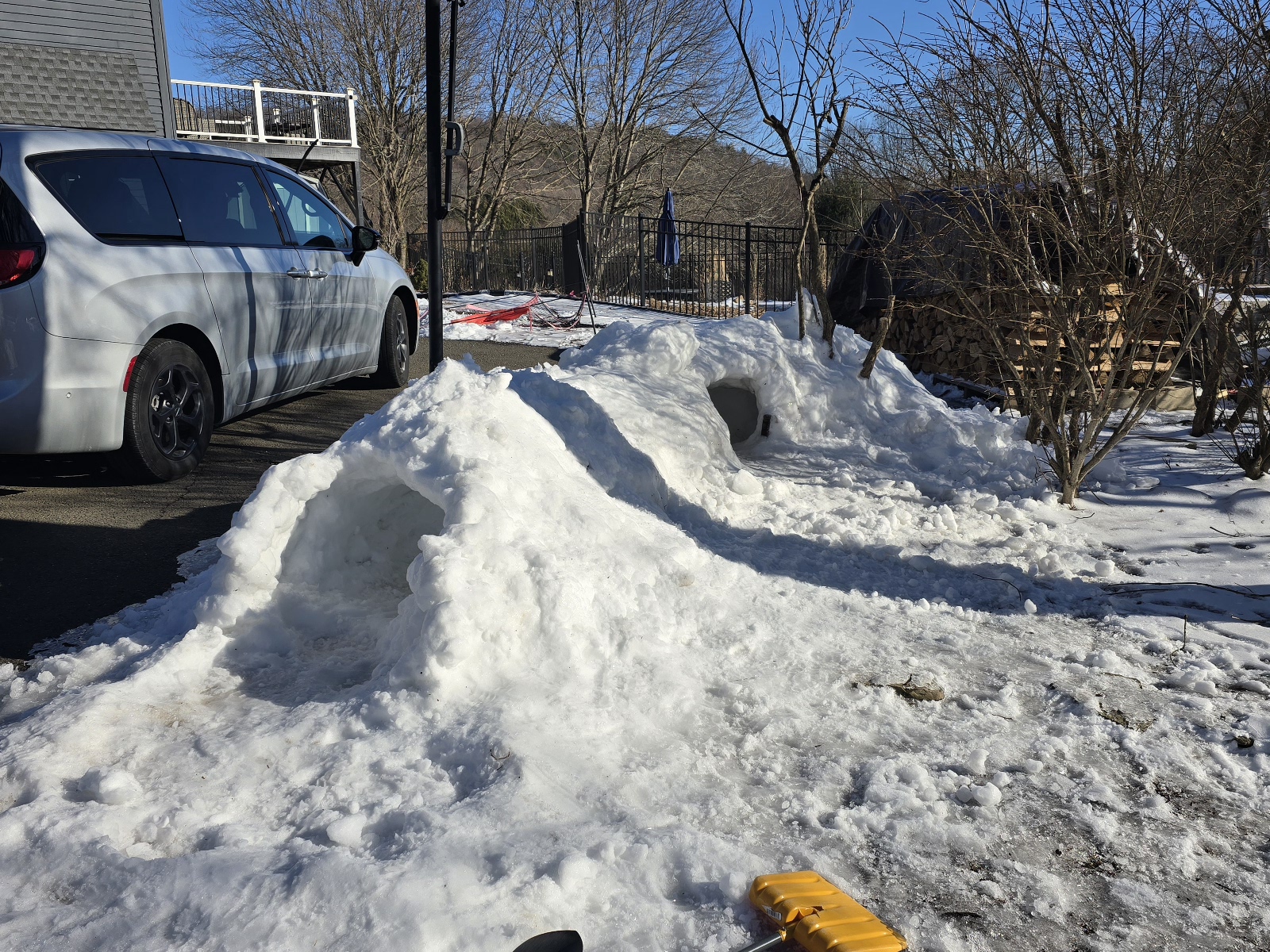
Jealous....my kids have tunneled through ours, they would love a bigger tunnel

-
Just below 700 it seems...it's not much, but it's there
-
Wow, that's impressive! That's my backroads to Costco, just riding through the Purchase had to be tough, but the rest of the way is crazy
-
SWCT
-
Yeah besides that warm layer down here, the Nam looks great...
-
Not as warm aloft as the hrrr but definitely more than the 18z Nam showed, it's close though and mainly for down here...
-
Nam looks similar now....hmmm, where have we seen this before?
-
Yeah, how could you tell?
-
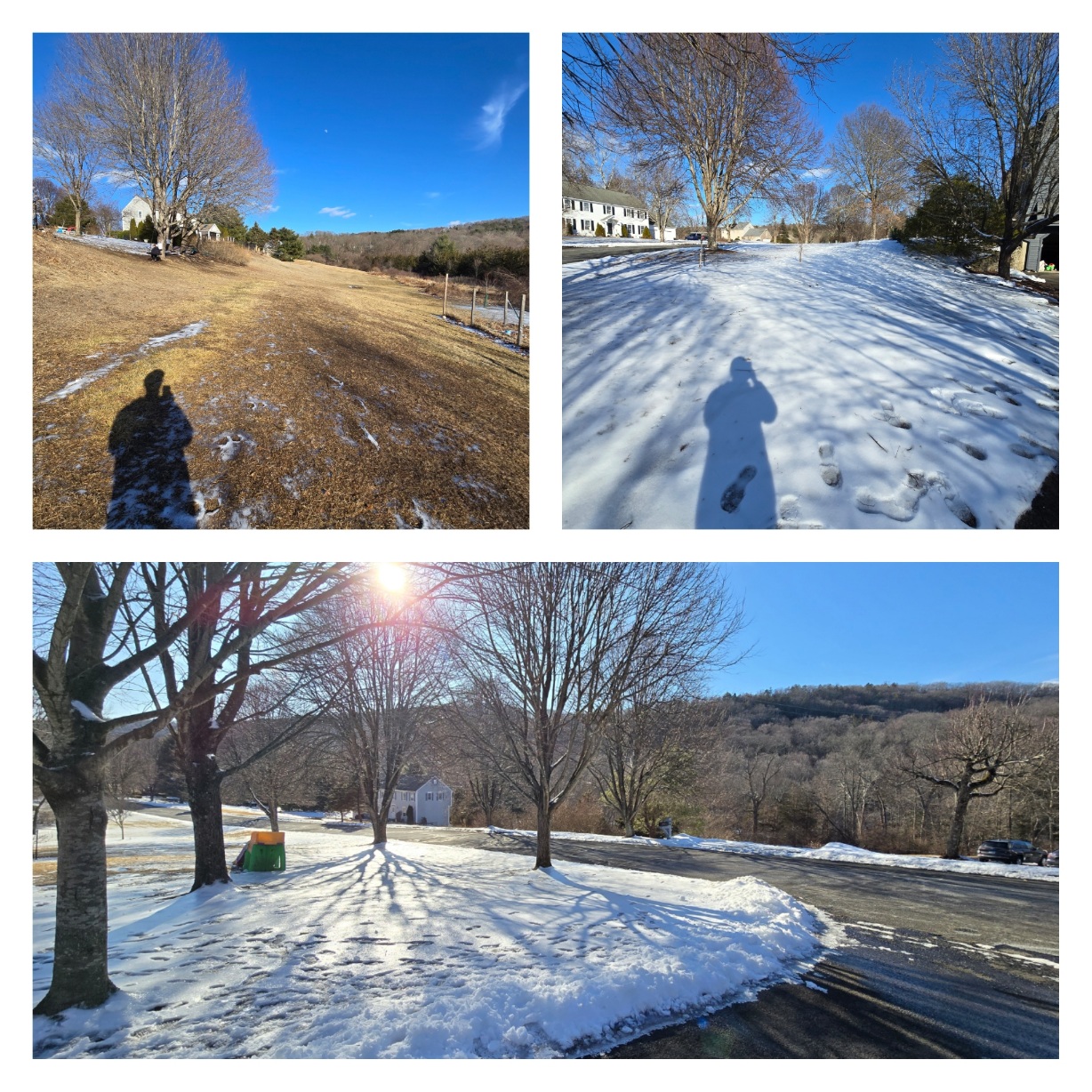
Amazing the difference from the front of my yard to the back...almost like 2 different climates, crazy look today.