Spanks45
-
Posts
4,367 -
Joined
-
Last visited
Content Type
Profiles
Blogs
Forums
American Weather
Media Demo
Store
Gallery
Everything posted by Spanks45
-
Perfect weather, warm enough for the pool during the day, but cool enough by evening to keep the windows open at night....can we have this right through October please?!
-
Nice steady rainfall here...0.20" in the bucket so far
-

Significant Severe Weather Event Possible Thursday, August 27, 2020
Spanks45 replied to weatherwiz's topic in New England
In Southbury, looking toward Woodbury.... -
Significant Severe Weather Event Possible Thursday, August 27, 2020
Spanks45 replied to weatherwiz's topic in New England
North of here, right before the crazy winds and power knocked out again...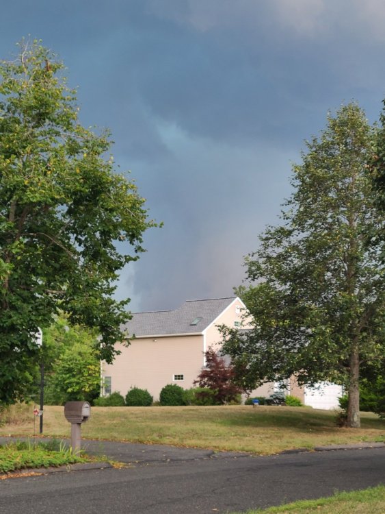
-
Significant Severe Weather Event Possible Thursday, August 27, 2020
Spanks45 replied to weatherwiz's topic in New England
Yup, I have no time to deal with anymore of that...a nice steady rainfall is fine by me -
I move in 10 days....extended power outages and tree damage is not what I need to worry about, rain would be just fine though
-
There is the region wide 3-6" storm that we need....Drought buster
-
A nice region wide 3-5" soaking would be nice. We don't need any damage thank you.....
-
May 8-9 mid-spring rain, snow, cold, wind obs
Spanks45 replied to CT Valley Snowman's topic in New England
This looks fun, hopefully it makes it here... -
May 8-9 mid-spring rain, snow, cold, wind obs
Spanks45 replied to CT Valley Snowman's topic in New England
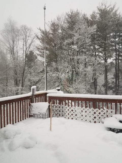
Flakes flying here again, deck is a sheet of ice with a coating of snow...31.1 this morning. -
May 8-9 mid-spring rain, snow, cold, wind obs
Spanks45 replied to CT Valley Snowman's topic in New England
Wind is whipping, temp down to 35 and now we have some snow falling....what a May 9th! -
March 12/13/14 Blizzard/Winter Storm/WWA etc
Spanks45 replied to Bostonseminole's topic in New England
Midlevel magic ftw here in wct...snowing moderately but the heaviest seems to be over now... -
March 12/13/14 Blizzard/Winter Storm/WWA etc
Spanks45 replied to Bostonseminole's topic in New England
Just hit 7 inches here, this band in wct is starting to move, but has been great while it lasted...31.4 -
March 12/13/14 Blizzard/Winter Storm/WWA etc
Spanks45 replied to Bostonseminole's topic in New England
I have been sitting under that band for a while now, definitly fluffier in nature than last storm, but still sticking to everything. 4.75" so far, 31.8