Intensewind002
-
Posts
924 -
Joined
-
Last visited
Content Type
Profiles
Blogs
Forums
American Weather
Media Demo
Store
Gallery
Everything posted by Intensewind002
-
Accounting for all the days, I’m still at 2.36” maybe some leaves are blocking the rain gauge or something, I’ve had that issue happen before. I have fall break this weekend so I’ll have to check when I’m back home
-
Alright thanks, it must be an issue with the sensor or something
-
My weather station back home picked up about 1.72”, did the south shore get relatively shafted again?
-
This storm would've been March 1888 all over if it was winter lmao
-
Pretty much a hurricane strength sub tropical storm, reminds me of hurricane noel in 2007 https://en.m.wikipedia.org/wiki/Hurricane_Noel
-
Why would that happen? Brown ocean effect from it's own rainfall?
-
Using normalized costs, the list is Katrina, Andrew, Maria, Ida, Sandy, etc.
-
Man the new eye is big, has to be at least like 40-50 miles wide
-
I thought shear was supposed to ramp up big time by late tonight? If Ian doesn’t close off the new eyewall by then, the shear is going to inject a ton of dry air and erode away the southern periphery of the hurricane. Or so I would think…
-
It might’ve been Matthew, they had like the same track except dorian was way stronger
-
Well who would’ve thought this storm was gonna reach its peak before Cuba
-
 105 kts, Sarasota FL Peaks at 125 kts 937 mb
 -
How long until twitter is filled with tweets saying: “(government official) says to write your social security number on your arm if you don’t evacuate.”?
-
Is there any off chance that Ian could not make it to major hurricane status? If so how would that effect the storms future track?
-
I’ve been thinking that this storm could have a lifecycle similar to 2002’s Hurricane Lili, but with a landfall a bit further east, they both occurred during the same time period too
-
I think i remember that, was kinda weird where like it would calm slightly between cells. And then after like a five minute break another light to moderate shower would move over and slam us with hurricane force wind gusts.
-
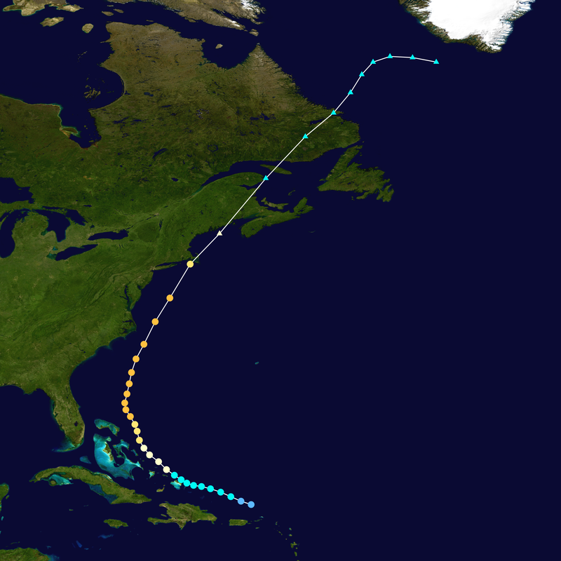
I found this on the CHC site for Cape Breton: Strong category-1 hurricane force winds of 100 gusting to 140 km/h at exposed locations except 140 gusting to 160 km/h at the coast with surge of 1.8 to 2.4 m and dangerous waves from 11 to 15 m from Hurricane Fiona are expected.
-
How exactly does a phase between a tropical cyclone and a trough happen? Can someone explain it to me?
-
Hurricane Lili might be a decent analog for this storm

-
That 18z gfs track was really similar to Edna from the same year

-
Convection is like a full 5 degrees Latitude farther east than the center of circulation at this point. Center reformation a possibility?
-
No storm will ever beat Hurricane Barry from a few years back in terms of ugliness, that thing was literally just a big rain band with literally no convection over or north of the center. How it managed to attain hurricane strength is a mystery of the universe considering I've seen 40 kt tropical storms that looked better
-
2022 Atlantic Hurricane season
Intensewind002 replied to StormchaserChuck!'s topic in Tropical Headquarters
I remember laughing at your prediction (in a friendly way lol) but then thinking “Imagine he’s right? What a coup that would be.” And here we are, with a 4/0/0 season so far. I had 21/9/4 and at this point I’m thinking there’s a better chance Long Island gets hit by a Cat 4 this year than that happening -
I’m surprised Islip has that much, I have 3.46” since June 1st from my pws. Only 0.92” since July 1