Intensewind002
-
Posts
887 -
Joined
-
Last visited
Content Type
Profiles
Blogs
Forums
American Weather
Media Demo
Store
Gallery
Everything posted by Intensewind002
-
Yeah that area and the region around Albany and west Mass usually get good storms every year
-
Summer of 2019 I believe had some strong storms out here
-
And that’s even with the newer 1991-2020 averages, we still can rarely manage a below normal month
-
Long Island is still abnormally dry from last summers drought, hopefully we don’t get a repeat of that
-
I feel like the biggest example of this would be when Suffolk got 20”+ in both Juno (Jan 2015) and Jonas (Jan 2016). I think this was the only county/region that got crushed by both storms
-
I saw someone on twitter report that there was up to 10” there but I wouldn’t trust anything twitter weenies say…
-
There is some good banding going over them right now so they can probably add another inch or 2, but still, that’s a decent sized bust for them
-
0.5” here which brings me to 3.7” on the season. I’m pretty sure that I got this years seasonal total within an hour during the blizzard last year lol
-
Snow lightened up a bit here so the half inch or so that accumulated has mostly melted now
-
-
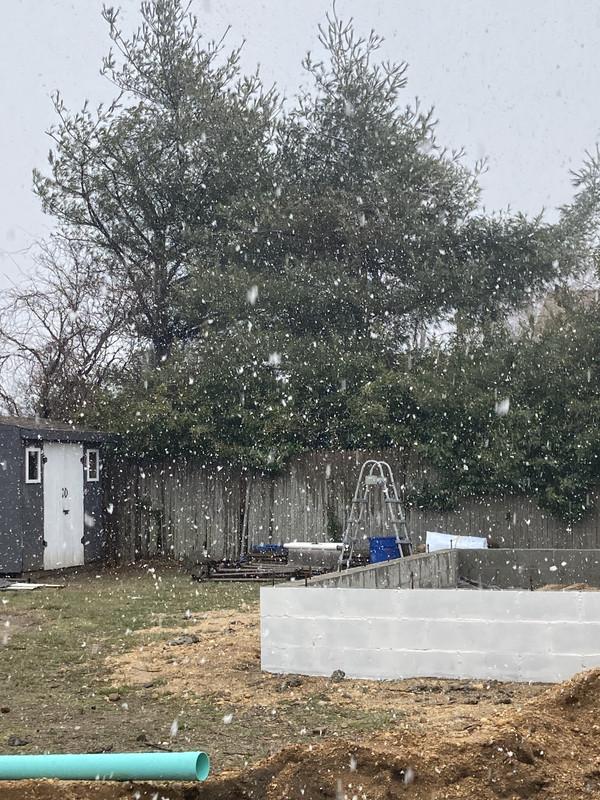
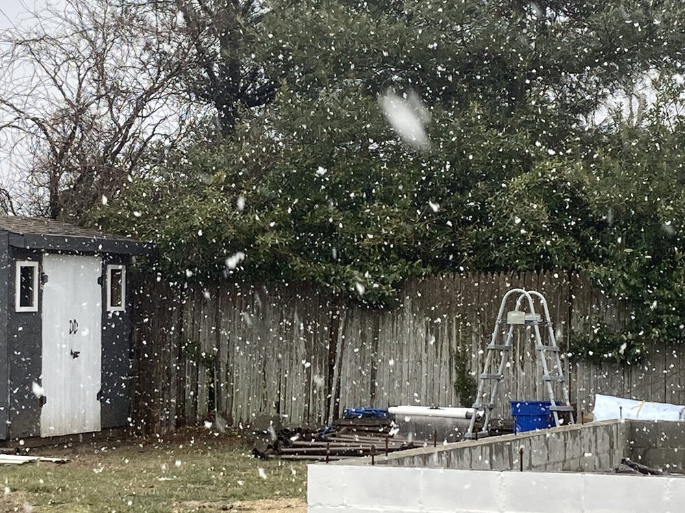
+SN coming down good right now. It’s finally starting to stick to grass and trees, 33/31
-
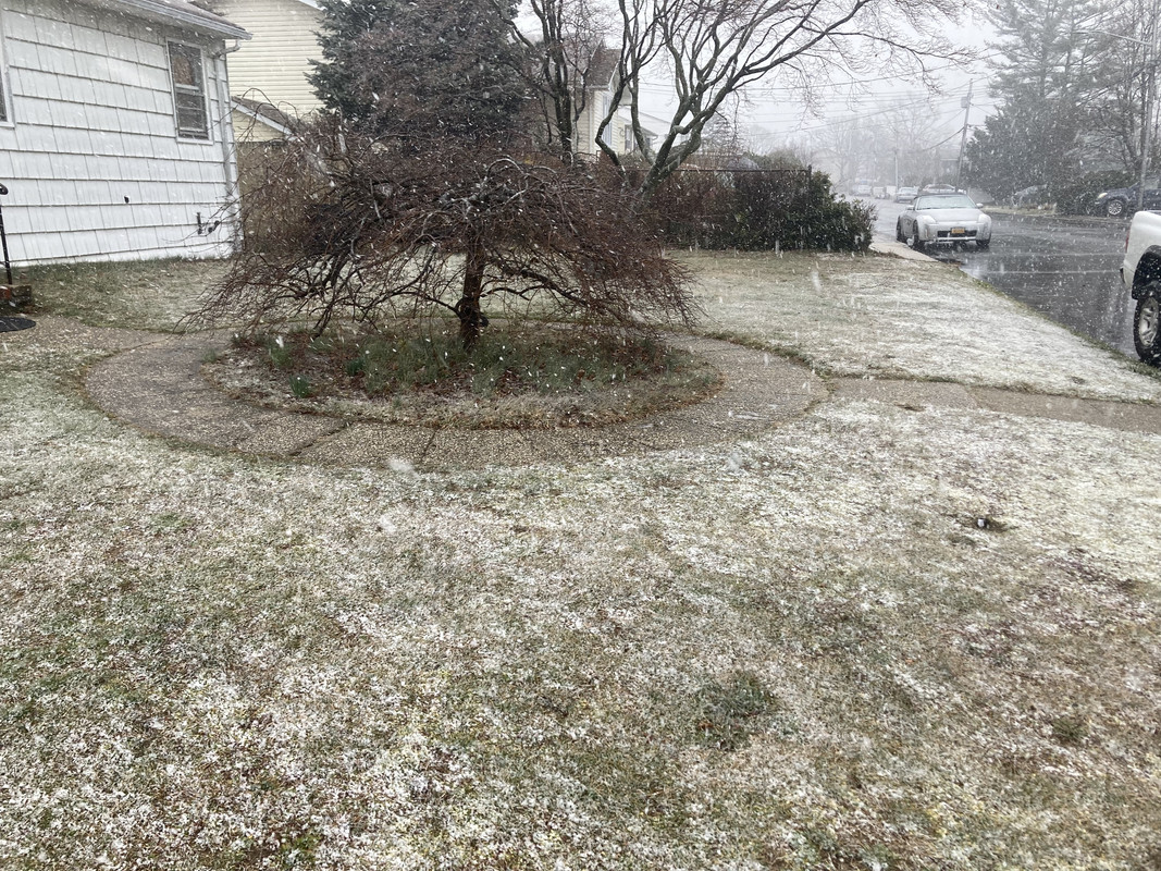
I had a slight coating on the grass here but the second the snow let up a bit it more or less vanished
-
Getting some big flakes falling now, maybe we can wetbulb to around freezing and pick up a little bit of accumulation here
-
It’s pretty common for them to get accumulating snow into early April so I wouldn’t be surprised. Last year they got 3” on April 19th
-
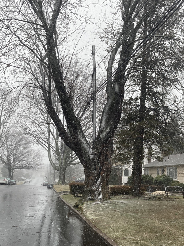
Getting some windswept white rain in Lindenhurst. 37/31
-
If this was all snow, this would be the part where we’d all flip out because of the dry slot lol
-
I believe eastern and western WFOs follow different protocols when issuing advisories/watches/warnings and whatnot. At least that’s what I was told when I was interning at the Albany office
-
This storm has 3/14/17 part 2, written all over it. At least I won’t be disappointed by my 4 inches of slop this time
-
6-8 in Babylon and then like <0.5” in Patchogue would be the craziest cutoff I’ve ever seen for the island
-
I’m honestly not sure, I went back to sleep right after the first batch ended, so I missed the second one. It never actually made it below freezing here either, but there was still a little bit of snow on the ground at 8:30 so I’m assuming it had to accumulate because i doubt the original half inch would’ve survived in the sunlight until then.
-
Yeah it started snowing just after 2:00 and lasted until around 4:30, we did get another brief burst of snow around 6AM though.
-
Yeah we had a decent amount of white rain, plus some virga beforehand here (RH was around 20% for me when the decent radar echos were starting to reach the south shore). Amounted to maybe just under half an inch here.
-
A small plane crashed like a block away from where I live https://longisland.news12.com/sources-1-dead-after-small-plane-crashes-in-lindenhurst
-
I ended up with about 3.2” of snow last night here in Lindenhurst, rain has been light too so it hasn’t really melted too much either
-
Under lighter echos right now in Lindenhurst and it’s 34/32 with 100% sleet at the moment. About 1.5” of snow on the ground