Intensewind002
-
Posts
923 -
Joined
-
Last visited
Content Type
Profiles
Blogs
Forums
American Weather
Media Demo
Store
Gallery
Everything posted by Intensewind002
-
Absolutely insane lighting right now, like multiple flashes per second and multiple cloud to ground
-
Hopefully it’s region wide, I haven’t gotten a 1”+ rain event since May 20th (and only had 2.73” in total for july)
-
Not much from this batch of rain, only about 0.01”, 0.36” for the day here
-
Jeez rain shield literally vanished from existence once it reached the nassau suffolk border
-
I honestly forgot there was a severe threat today
-
75/50 feels great outside
-
Summer 2019 we had a few severe storms impact LI, I remember someone getting 80+ gusts on their PWS, also got some hail back in june of this year
-
Saw a decent sized tree down up the block from me, maybe it was rotten or diseased because winds weren’t too severe maybe around 40 mph
-
Absolutely electric over the beaches right now, frequent cloud to ground
-
Got some 30-40 mph gusts but no lightning. The sky was beautiful as the storm was coming in though
-
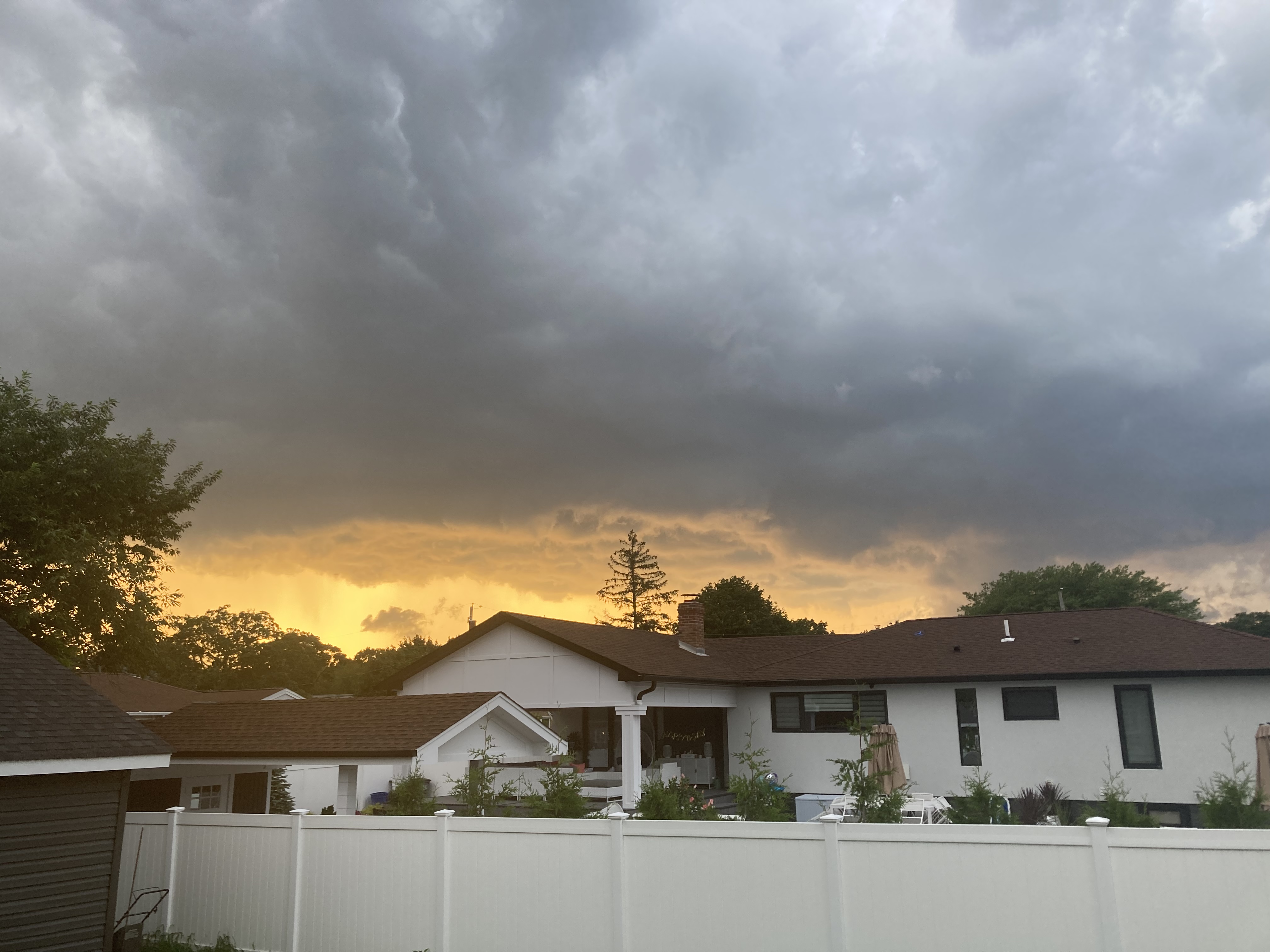
Ominous Skies

-
I take that back, Severe T-storm warning up now. Although yeah 90% of the time, our best severe storms always coming from NNW, or last summer we had a supercell develop along the sea breeze boundary so i guess that can happen too
-
Looks like the third busted severe event of the week east of the city…
-
Currently 88/76/99 which is the max so far for today, I don’t believe I’ll hit 90 now so technically not a heatwave then since I only got 2 90+ days in a row but it feels plenty hot enough…
-
Frequent lightning from that cell offshore
-
91/73/100 currently not as bad as yesterday but technically hotter by a degree. 6th 90 of the summer for me
-
It looked good on radar until about the Nassau-Suffolk border, it looks like central suffolk got some nice storms again too
-
Wow very frequent lightning with the storm to my northwest
-
Yeah thought I saw a flash of lightning just now from the south shore, but radar showed nothing
-
90/78/105 nasty out right now
-
87/69/91 for the max today, four 90s for 2023 and I should add 3 more over the next few days
-
Storm pulling the ol “break apart as it gets to LI”. I didn’t expect much today but I’m still disappointed…
-
0.01” of rain here, most of it looks to miss to the south but i can maybe squeeze out 0.2-0.4
-
Picked up 0.53” of rain here. Still need a true drought buster in my locale…
-
Impressive temperature drop at FRG it went from 82 to 72 in half an hour