MN Transplant
-
Posts
17,613 -
Joined
-
Last visited
Content Type
Profiles
Blogs
Forums
American Weather
Media Demo
Store
Gallery
Everything posted by MN Transplant
-
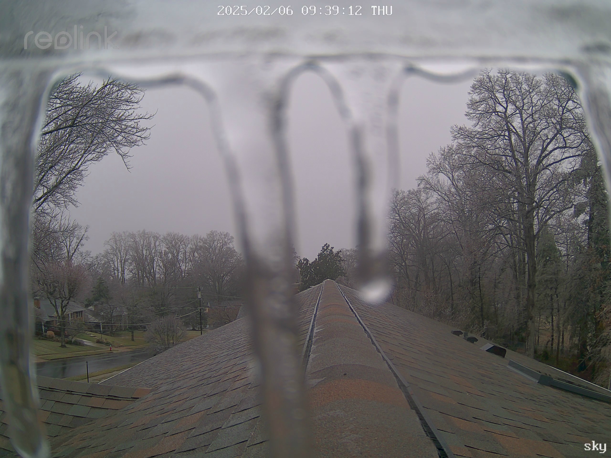
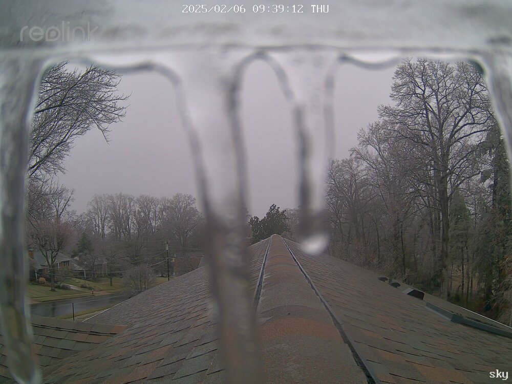
I’m impressed that the precip totals are on the high side of guidance, at least from DC south. Still only 32.0. Edit - My skycam
-
0.74” fell with temps below freezing and there is basically no impact except pretty trees.
-
Paved surfaces are fine but when we get a little more light the trees are going to look spectacular. This could have been a huge mess at 28 rather than 31 degrees.
-
31.3. I can see some glaze on elevated surfaces. However I’m still getting precip readings from the tipping bucket, which means it isn’t frozen over. So, pretty much what we all thought was going to happen.
-
33.8
-
School delays start. 2 hours for Fairfax Co.
-
I, for one, am looking forward to our 48 hours of snow next Monday-Wednesday.
-
We are going to get some ice on trees and slick sidewalks pre-dawn because it is precipitating overnight, but agree that the impact will be minimal in the metro areas.
-
First HRRR run in range places the heavier band of precip near the MD/PA border rather than near DC.
-
That is a proper Nam-ing. 0.8” precip, all frozen through 12z. Fun to see, but we toss.
-
Sleet bomb and an early start on the 12k NAM.
-
What I find interesting about the RGEM is that it doesn’t switch us over until the main slug of precipitation has passed. That is historically a realistic scenario for us.
-
Was always supposed to be a late-day high, but the clouds are really hanging in there.
-
4 standard deviation PWAT values. 4” of precip through 240.
-
Drought-denter at the very least.
-
We don’t lose the 925 level until after 12z on Thursday on the GFS, and 15z up by PA. Seems like about 0.30” frozen in DC on the NAM/GFS/GEM before changeover. Edit - lowballed the RGEM, 0.70” frozen
-
There is a pretty good consensus for a messy early Thursday morning.
-
The mesos are at range, but they certainly look better than the globals for this one.
-
Wolves were down their top 4 scorers by the second half. Not a great recipe, but still, a loss to the Wiz hurts. And the Luka trade, unreal.
-
Surprising amount of lightning showing up in PA. 0.30” here
-
Had held on to a Trace for my CoCoRahs snow depth report up until this morning. Mark it zero.
-
63 or 64 as the high at DCA
-
50+ gust at Cumberland
-
Drought and heat. My three hottest temps in my 13-year record are from this summer and it is primarily due to the dry conditions. Single event, I’d concur with the April hailstorm. That was impressive for around here.
-
Waiting on the breeze to blow around the road salt.