MN Transplant
-
Posts
17,660 -
Joined
-
Last visited
Content Type
Profiles
Blogs
Forums
American Weather
Media Demo
Store
Gallery
Everything posted by MN Transplant
-
Hope they work on the design!
-
First 90 at home. Air quality isn’t too bad. My PM2.5 got up to 77, which is still moderate.
-
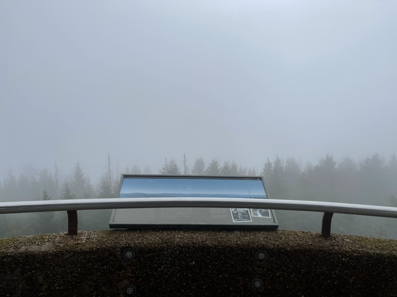
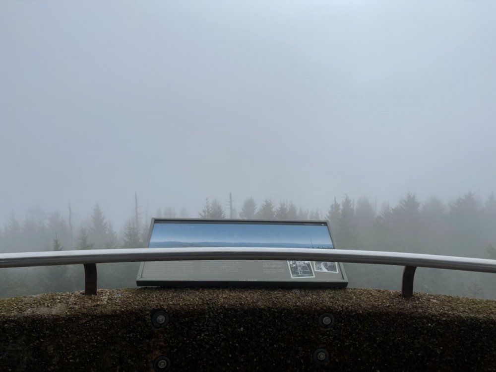
Got the quintessential pic from Clingman’s Dome in the Smokies
-
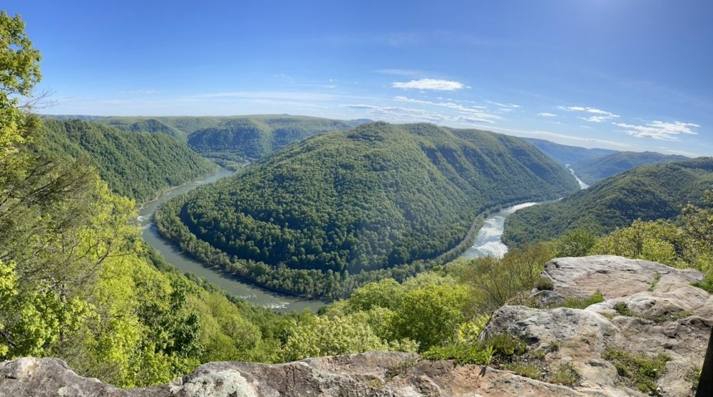
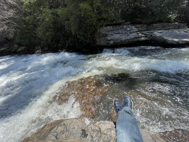
Nice territory out here in WV. New River Gorge.
- 803 replies
-
- 10
-

-
Had birds in our yard fighting over the few cicadas this morning. Little do they know the feast that is incoming.
-
First meal in a restaurant for over a year. Ah, paying too much for mediocre food. Back to normal.
-
The worst people.
-
Yeah, we are doing a road trip to New River WV and down to the Smokies starting Friday. I’m going to try to keep it above 1/2 a tank if possible. Amazingly I filled up both cars this weekend by chance.
-
I’m 9 hours post Pfizer #2. Nothing yet. We’ll see how tonight goes.
-
It is wild how variable it is.
-
I'm very bummed. Does anyone know of a text site that even closely replicates this?
-
2021 Mid-Atlantic Severe Weather - General Discussion
MN Transplant replied to Kmlwx's topic in Mid Atlantic
Don’t think we topped 35-40mph here, but the core of the wind missed me by about 1.5 miles. -
2021 Mid-Atlantic Severe Weather - General Discussion
MN Transplant replied to Kmlwx's topic in Mid Atlantic
Hmmm. Let’s keep that aloft. I’m happy with rain and thunder today.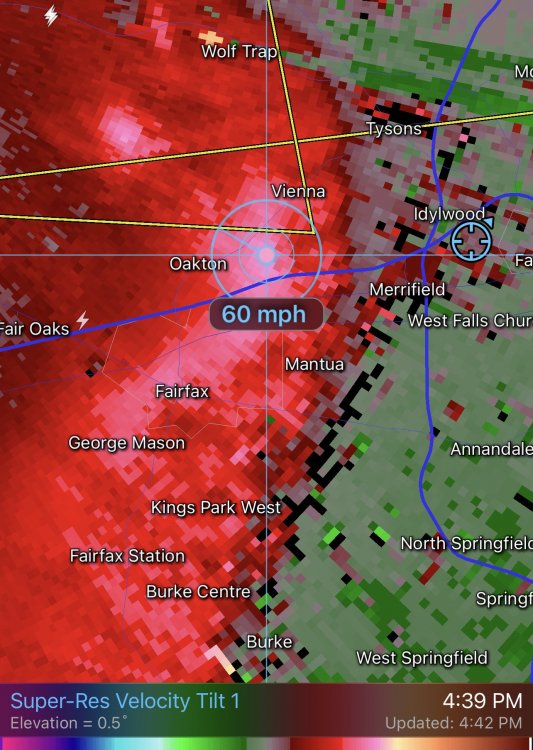
-
2021 Mid-Atlantic Severe Weather - General Discussion
MN Transplant replied to Kmlwx's topic in Mid Atlantic
There are 50mph winds off the ground per the DCA TDWR. They are going to warn that 9 times out of 10 coming into the metro where every other tree likes to fall over. -
Smart to put the jaw-dropping stuff up front in the video, and then have the whole capture after that. Awesome stuff.
-
Big tree down around the corner. Missed houses, which is good. Sirens around, probably all tree related.
-
Roaring out there. Lost power so I can’t see the instantaneous gusts, but we are definitely going over 50.
-
Winchester gusted to 56.
-
I think they might. Right now the only QBs on the roster other than Kirk are a UDFA and a 7th rounder. Even if you aren’t planning for Kirk to move on, a backup QB is worth a mid-round pick.
-
Moved down and still got Darrisaw to replace Reiff at LT. And now the Vikes have 4(!) 3rd round picks to play with. Happy with that. Still need a G and WR3, and then depth at all levels of defense.
-
We did rock maze trail a few days ago and had to go again today because my 6 year old loved it. Very cool natural phenomenon. I can’t imagine the chaos of a bunch of kids running in and out and around that place. Not in the park, but there is rafting nearby.
-
Stellar day at Swallow Falls State Park. Low 70s, sun, good flow, and no crowds.
-
We had something like that back in April 2019 or so? edit 3/22/19
-
First night I can hear them.
-
Shot #1 done. Nice job by INOVA with their big site on Eisenhower Ave in Alexandria. It is amazing how cheerful everyone was, and the ton of volunteers there that are there to guide people around.