MN Transplant
-
Posts
17,781 -
Joined
-
Last visited
Content Type
Profiles
Blogs
Forums
American Weather
Media Demo
Store
Gallery
Everything posted by MN Transplant
-
You are right, and it isn't even close. Sewer is over double as much as the water.
-
I should run the water more in winter so my summer “overage” charges will be less.
-
First night this year that I’ve noticed fireflies.
-
Broken twig from a dying tree.
-
A drought is whenever I have to water the lawn.
-
Popped (if you can call it that) to 56.7 at about 4:30pm here.
-
Might be the 2nd year in a row that we get a record low max in May (52 on 5/9/20).
-
There is a bit of a funky smell near places with a lot of dead cicada. Not overwhelming, but there.
-
2021 Mid-Atlantic Severe Weather - General Discussion
MN Transplant replied to Kmlwx's topic in Mid Atlantic
The 12z HRRR does get some instability up to about I-66. -
2021 Mid-Atlantic Severe Weather - General Discussion
MN Transplant replied to Kmlwx's topic in Mid Atlantic
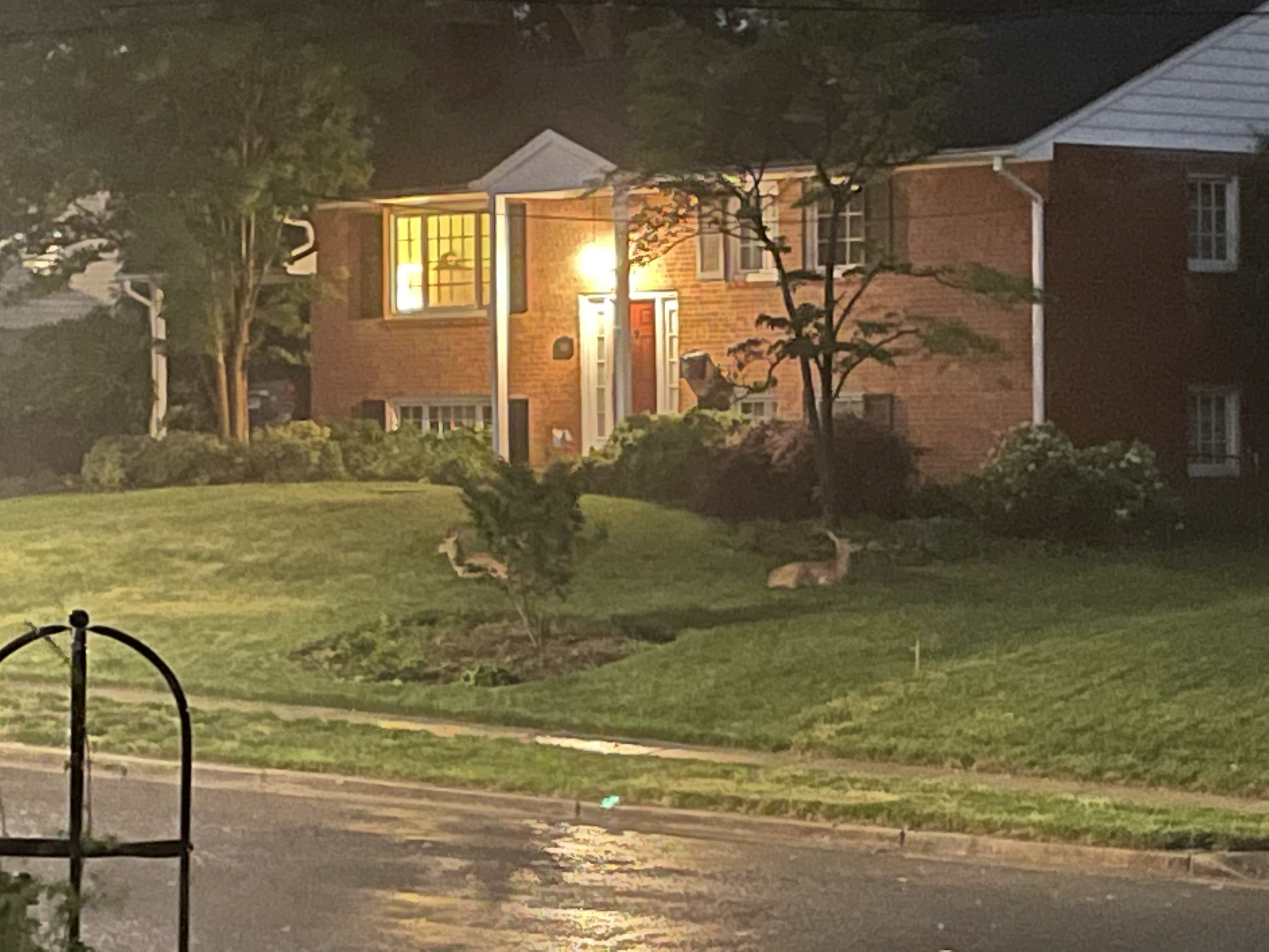
Two deer just decided to plop down in my neighbor’s yard and wait out the storm. Have never seen that.
-
2021 Mid-Atlantic Severe Weather - General Discussion
MN Transplant replied to Kmlwx's topic in Mid Atlantic
Pouring and booming. Lost power for about 10s. -
Don’t take this as gospel, but I don’t think the cicadas get high enough to be seen by radar.
-
2021 Mid-Atlantic Severe Weather - General Discussion
MN Transplant replied to Kmlwx's topic in Mid Atlantic
Radar picking up some strong winds near Great Falls. -
2021 Mid-Atlantic Severe Weather - General Discussion
MN Transplant replied to Kmlwx's topic in Mid Atlantic
Outflow helping along 66. I’d take some thunder. -
About 0.50” on the day. 59 and dreary. Fine for a Monday.
-
The rain really shut them up this morning.
-
Borrowing from the cicada thread. After a week in Appalachia (WV/TN), anyone who thinks that rural means quiet is very, very wrong. The loud truck dick-measuring contest is out of control.
- 803 replies
-
- 10
-

-
DCA 91. It is fierce in the sun, but at least the DPs aren’t July-worthy.
-
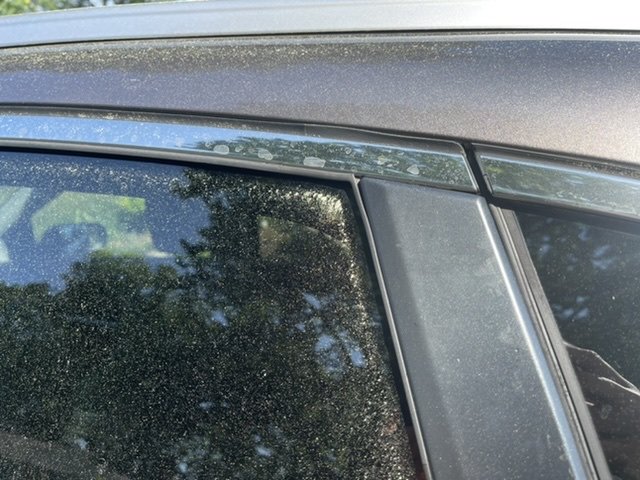
Looking forward to the rain. I washed my car yesterday afternoon. This is getting pretty late for the pollen to be this bad.
-
Same here. Increasing every day now.
-
I think we are a day or two behind H2O here. My 6 yo can handle them from the sidewalk but she freaked out when she went in the grass and the were near her feet. Constant hum, but not loud yet.
-
Hope they work on the design!
-
First 90 at home. Air quality isn’t too bad. My PM2.5 got up to 77, which is still moderate.
-
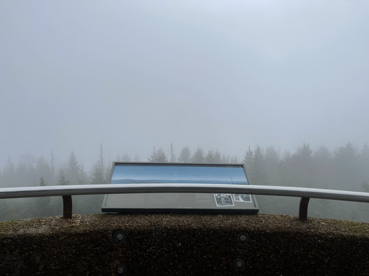
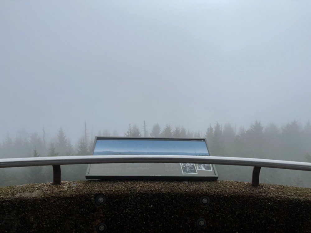
Got the quintessential pic from Clingman’s Dome in the Smokies
-
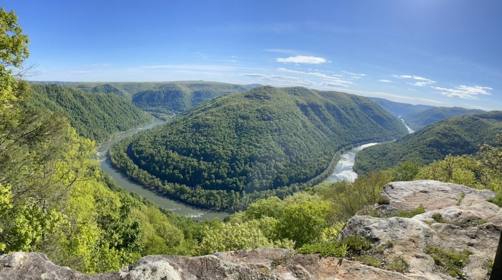
Nice territory out here in WV. New River Gorge.
- 803 replies
-
- 10
-