Rhino16
-
Posts
1,709 -
Joined
-
Last visited
Content Type
Profiles
Blogs
Forums
American Weather
Media Demo
Store
Gallery
Everything posted by Rhino16
-
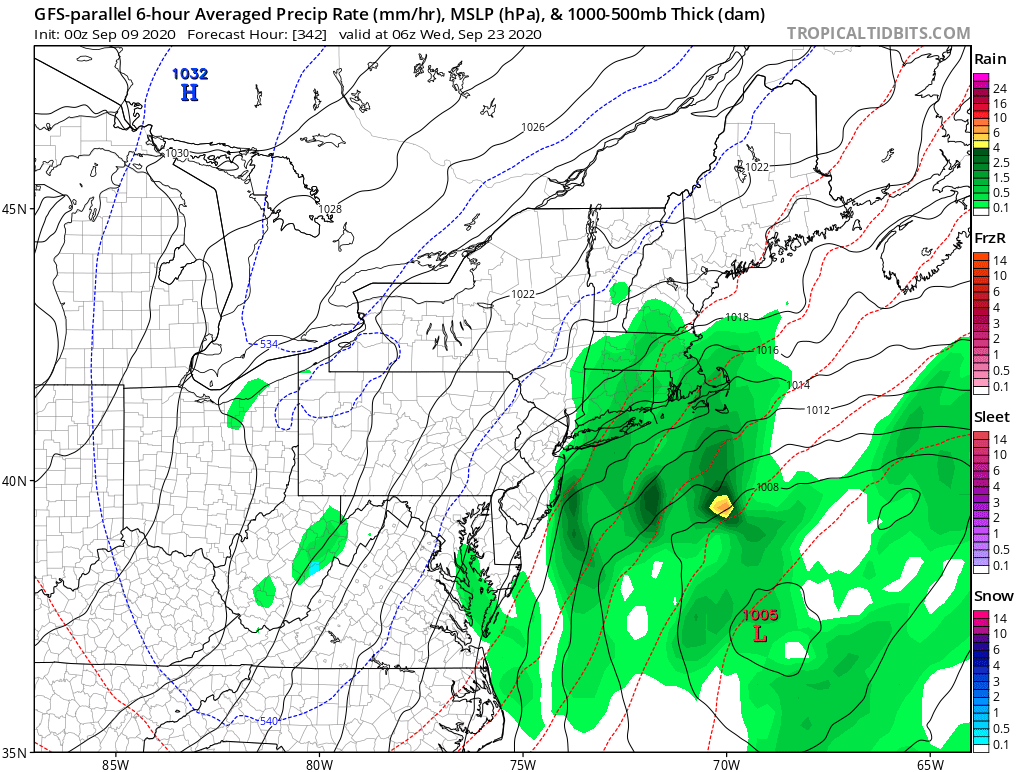
We need a digital now thread for WV now!
-
The stuff in WV is going to miss me to the south it seems unless the little light stuff at the top of it gets stronger. This is how weather is where I live. The magic forcefield.
-
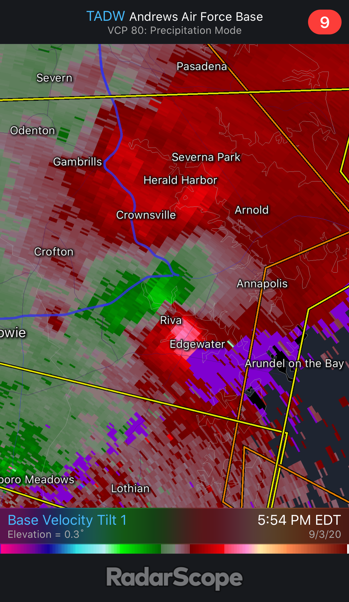
Tornado Warning now.
-
To me, that’s scary looking. But, I don’t know a ton. Edit: Just as I posted, Tornado warning.
-
Let’s see what it does, I’m not too confident though.
-
I wouldn’t complain, the storm yesterday disintegrated and went south as well. Hopefully I’m just far enough north to get a little bit.
-
I miss that blue stuff in the top left corner... Back on topic though, This will be interesting to watch, the Parallel really wants this to happen.
-
I think it was today that looked good on SPC the other day, now there’s nothing? Maybe I was looking at the wrong day...
-
I’m probably going to be missed by a very slow moving storm, it’ll probably slip north by 2 miles or so. I think I can already hear the thunder from it... Edit: it heard me post that, it’s now disintegrating.
-
Us being humans, we definitely would automatically assume the closest is the most in danger. It isn’t until you study a bit, and think about it, that you realize that we don’t have the slightest clue where that thing is going until at least 3 days before.
-
Apparently the GEFS hasn’t been handling things correctly according to @MJVentrice on Twitter...
-
But, it kinda seems you don’t know if a tropical system happens until it actually starts happening if that makes any sense.
-
Is the NAO something you can definitively see on the model runs, or is it a kind of “looks close enough to a -NAO?” Sure, it may look negative on the model, and never appear in the real world...
-
Maybe it’s because August 10th feels like the middle of summer, and summer feels like hurricanes, while September is when school starts again, its maybe cooler (good luck with that) and it doesn’t feel like summer therefor, it feels less like peak season...
-
Thank you!
-
Oh my goodness... did you not read the post literally right above yours? It proves that bumping this will mean anywhere from zero snow to a tiny half an inch! /s
-
I don’t see any of the strong lifting or sinking air over the atlantic in those if I’m reading them correctly, is that what they mean by “out of phase”? Do you want the rising air over the ocean, or a more neutral air movement somewhere in between as is shown in the images?
-
Similar https://twitter.com/noaacomms/status/1291390225479020547?s=21
-
More rain coming to the area. There’s been a storm near Highland Springs that hasn’t moved in awhile, looks to have heavy rain. Wonder how much it has rained over there.
-
Maybe... we get a storm like the December 9-10 2018 one. There was a ton of snow in Richmond and South, but it melted in three days. If we get one of those, I’m okay. Edit: i know everyone rolls their eyes when they remember that storm, but just maybe it could happen. It was odd because only the really “dumb” models expected it, and no one listened.
-
Is the CFS going on an okay run again? Feb looks okay I think, january looks a little dry though... We’ll be fine though. (It is the CFS, so... EGH)
-
I think it’s somewhat close to the east, just not this far inland.
-
I think so... seems a little breezier now, but not windy.
-
Very good example. Cool to watch.
-
And what’s the weird snake-like Thing doing near virginia beach making it’s way north? Looks like an outflow puff(?) that’s making the snake?