

Kmlwx
-
Posts
12,579 -
Joined
-
Last visited
Content Type
Profiles
Blogs
Forums
American Weather
Media Demo
Store
Gallery
Posts posted by Kmlwx
-
-
Even in low activity years - it only takes a single day/event to really make a or break our severe season around these parts. A region-wide significant squall line can make a season pretty memorable. Though I'd like multiple storm days ideally.
Thunderstorms are one of the few redeeming qualities about triple H weather around here. -
It's March...and even though we probably have a few more winter weather threats ahead...it's time to launch the 2019 Mid-Atlantic Severe Wx thread. Pattern stuff can go in here, discussion leading up to events and more. Same guidelines as past years. Thread will probably idle for a month or two - let's hope for some general excitement this year.
-
 2
2
-
-
Outages aren't that high in the immediate metro area it seems.
-
5 minutes ago, smokeybandit said:
I'm boarding a flight to bwi from Iceland right now. Should be a fun approach to bwi
Should be dying down a bit by the time you get here - luckily.
-
40 minutes ago, Subtropics said:
Fair enough. You have the stats, I don't. I'll concede that. Maybe I'm a micro climate, but I've witnessed stickage issues mid day even with February sun. Naturally I'm skeptical due to my personal experience on the blacktops 'round here IMBY.
Rates matter. Are you sure you aren't using hours of light snow as an example. It needs to be coming down at a decent clip to stick well to pavement in March. That much is probably true.
-
3 minutes ago, Subtropics said:
I'm farther south than you. I'm in the right subforum though. I remember a late march storm that melted in like a day where I'm at. To be clear to y'all I'm not suggesting it can't snow I'm saying it can't stay around once it stops falling and roads will be fine during peak solar mid day.
I don't think that's the argument. Nobody is arguing it will stick around - the argument is whether it can stick on surfaces like pavement during the middle of the day - which it certainly can.
-
10 minutes ago, psuhoffman said:
It’s not even funny anymore
Unfortunately he's not trolling he really believes the stuff he's spewing.
-
1
-
 1
1
-
-
2 minutes ago, Weather Will said:
EPS Control is a hit for the March 4-6 period. Not epic but 6 inches south of DC, over a foot north and west.
*weenie* Don't worry that's just the limited resolution of the control member unable to see the sweet sweet white gold *weenie*
-
1
-
-
Don't worry - the FV-Weenie model will show a blizzard at that timeframe.
-
1
-
-
5 minutes ago, high risk said:
Disagree with all the people complaining about 1-8" ranges and boom/bust ideas needing to be tossed. Forecasting snow amounts isn't a contest. It's communicating the most likely outcomes along with the range of possibilities to account for model errors, localized bands, and such so that people who may need to travel or decide whether to close a business or school can assess the level of risk and their tolerance of it and make informed choices.
Yeah - I think CWG is about as good as it gets in terms of communication. Agree 100%
Meanwhile - back over to snow here in Colesville, MD. Now plow yet on our dead end street.-
1
-
-
3 minutes ago, SnowGolfBro said:
I know they mean well but seriously 1-8 is not a forecast. It’s just telling you that anything can happen. A true forecast is a range of acouple inches like 2-4. I’m fine with the zones but they need to stick their necks out a little more make a real prediction.
They didn't explicitly have an 8 inch range. They use the probability system. This might be an unpopular opinion - but I think a forecaster is good if they communicate to the public well. I don't think a good forecaster necessarily is the one that nails a forecast to a 2 inch range.
The best forecasters these days are the ones that do not hype - and show the range of possibilities. Yeah - a nailed 2 inch forecast range is great - but some of that is also luck. Banding in this area generally precludes any sort of broad brushed uniform amounts anyway.
-
1
-
 1
1
-
-
Sleeting here still - just did the 2nd clearing of the driveway/walkway and it's definitely not as fluffy as it was earlier. Distinct wet layer and then sleet on top. Harder to shovel.
-
4" but after some compaction in Colesville, MD
Also it is sleeting here right now.
-
Just now, Bob Chill said:
Yep, climo+ year in the books. Best worst winter ever.
Just wait until our rockin' March.
-
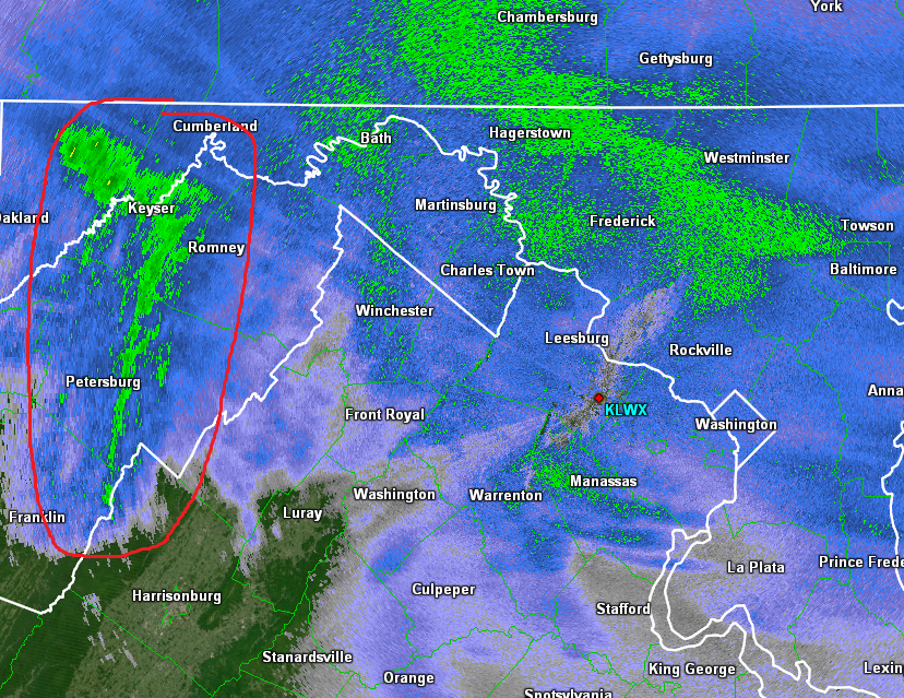
Neat feature coming in from the west -
-
4
-
-
Amazing that I drove down to Colesville/Silver Spring to my parent's house around 4:30 this morning and it was like a typical drive. Woke up again around 7:45 to a complete blanket of snow. Just finished shoveling the driveway and walkway - haven't measured yet.
-
Just now, snjókoma said:
If the HRRR is right (I don't think it will be) and DC gets 1" of snow... Closing the night before would be embarrassing.
There will be icing concerns as well. Not sure why there are folks out there that are just monitoring the snow aspect.
-
4
-
-
Just now, mappy said:
anyone east of 95 who thought they were seeing 6-8 were crazy anyways.
Yes. Not sure why people are calling this a "non-event"
Really laughable sometimes. Even a relatively moderate snow event putting down 1-4 inches and then sleet/ice is a significant impact event in these parts. I've been steadfast in calling 2-4 inches when asked by coworkers - and then a coating of ice. That's going to be high impact.
-
1
-
1
-
-
4 minutes ago, jayyy said:
18z suites doing their usual thing. Overdoing precip. 6z and 18z seem to always do this. The 12z and 0z suites with more data input always bring us back to reality. That being said...
I see 4-8” for almost all of Maryland west of the bay and NoVA. 6-10” in Westminster and surrounding areas. Leesburg is in an interest spot. I think they could max as well
Mostly the only thing missing from the 18z and 6z suites are balloon data. There are TONS of other types of data input at each model cycle (current conditions, airplane reports, satellite derived etc). Maybe you see some evidence of this anecdotally - but it's really just the waver back and forth (windshield wiper effect). Nothing to do with 18z vs 0z etc.
Looks like we are on tap for a nice winter storm for most of the area. -
Just now, jaydreb said:
Hmmm. Two good analysts with two different interpretations.
Not really. psu just referenced a "heavy thump of snow" - you can still get a "solid snowfall" and then ice. They seem to agree to me.
-
1
-
-
3 minutes ago, WxUSAF said:
All setups. 3k NAM certainly has value as does the Canadian mesos IMO.
Is there a plan to upgrade or otherwise make them a bit more usable?
I guess they can be okay in severe wx setups. -
Just now, MillvilleWx said:
Judging by the thermals, I think it will be better than last week, but certainly a far cry from '07. The high needs to be more stout for that to occur and that pig SE ridge isn't doing any favors. Still could get pretty glacier like for NW of 95 with the typical areas in the cross-hairs.
I agree with it being better than last week. But yeah - we aren't getting another '07 without STRONG CAD.
-
1
-
-
Valentine's 2007 was essentially a glacier for many many days after the storm. This coming event is much closer to the last week on the spectrum than anything close to Valentine's 2007...
-
2
-
-
6 minutes ago, BTRWx's Thanks Giving said:
Think we could be looking at another Valentine's Day 2007 event?
No. This will be significantly less impressive than that. Probably much closer to our typical few inches of snow to slop type deals.
The March Long Range Discussion Thread, Winter's Last Stand
in Mid Atlantic
Posted
384 is fantasy land - but sub 370 hours is money.