ORH_wxman
-
Posts
93,099 -
Joined
-
Last visited
Content Type
Profiles
Blogs
Forums
American Weather
Media Demo
Store
Gallery
Everything posted by ORH_wxman
-
Yeah let’s turn that into one of those 8F blizzard condition deals with car doors frozen shut and then tickle 70F 4 days later.
-
I feel like all guidance has the sfc boundary well to the south for next Sunday....they are trying to develop a low off the Delmarva.
-
Looks like 12z backed off some, though still there in lesser form.
-
Whats with the big PNA ridge building in clown range? That would prob provide chances in the following days if that stayed like that.
-
Classic for the rad spots....that first day coming off 28F delays the melt and even the next night getting to 34F drastically slows it down. I think I was prob hemorrhaging at like 42-43F on a couple of those nights. But I def remember that first day well into the 60s with total full cover even here where we started with a weaker pack than up north. I think we had around 7-8" left by the first day instead of 17" like CON.
-
Yeah 2017 I remember having still full coverage on that first day of the warm blitz in the 60s and even the 2nd day down here was still half coverage with temps near 70.
-
We get 50s all the time with deep pack late in the season. It can happen. If there was no pack and it was dry bare ground from here all to our southwest, we'd prob be trying to nape 60ish. We could maybe stay in the upper 40s though if clouds become too prevalent midday and beyond as the front approaches.
-
Assuming ORH gets no more measurable snow for the month of February, they finish with 30.9" for the month. That breaks the streak fo 3 consecutive below average snow Februarys from 2018-2020. Though that 3 year streak came on the heels of 5 consecutive above average snowfall Februarys from 2013-2017. So this still makes 6 out of the last 9 above average and 8 out of the last 12 and 12 out of the last 17. It's been a pretty good run of Februarys for snowfall in the 2000s and beyond. Guess we were due though given that 14 out of 17 Februarys were below normal for snowfall between 1984 and 2000.
-
Nothing like a 192 hour GGEM snow event to get the loins tingling.
-
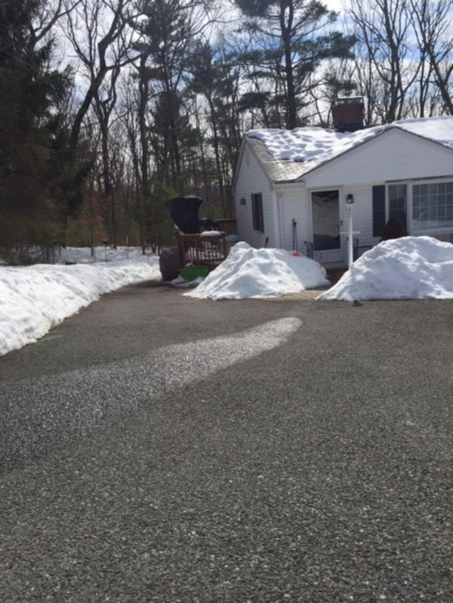
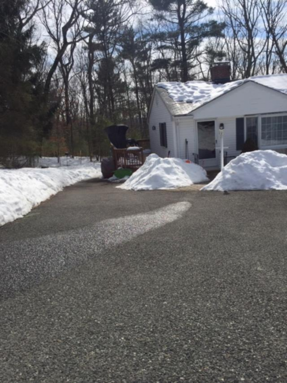
Classic Tip warm bum-bum nape tanner day. Complete with the melting line down the center of the driveway
-
Yeah, old GFS is tossed.
-
That is a near-record cold shot on the GFS for early next week. Other guidance isn't buying it though. At least not that extreme.
-
Yet 3 of the last 4 have started quickly (Dec 2020, Dec 2019, and Dec 2017)....and even the one December dud 2018 was the big November with a record cold T-day.
-
Lot of black ice outside right now on the driveway.
-
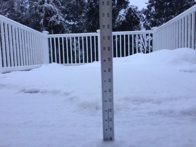
Unless we get a warm cutter or some prolonged 50s/60s, the pack here is going to put up a long battle. High water content...had 16-17” coming into today. Didn’t lose much. So I’m rooting for the rogue early March storm to find a way...but I’m not optimistic at the moment.
-
THats probably what it is. No real sign of a huge ridge forming like 2012 or 2010...but that could change later when we get closer to mid-month so we’ll see. But it’s probably just going to be torture...lots of 40s and 50s watching the pack slowly melt/sublimate.
-
About an inch of slime at ORH on winter hill...snow lasted another 15-20 min or so after this.
-
Nitpick...Jan 2000 Mid-Atlantic storm didn't whiff us. It tracked right up through MA, prob almost over my head. It was about 6" and then pingers/ZR for much of interior MA. Places like BWI got near a foot since longitude helped a lot.
-
What method of grading ENSO does 2007-2008 or 1999-2000 become a "super La Nina"? Maybe you can make a case for 2010-2011 using only MEI, but definitely not ONI. Using ONI, the strongest Ninas are 1973-1974, 1988-1989, and 1955-1956/1975-1976/1999-2000 (3-way tie). 1973-1974 is the only one that got to -2C on ONI trimonthly.
-
Down to 35.3F....but not flipping to snow. Mostly rain still with some mangled flakes mixed in.
-
Mostly RA- here....some hideous flakes mixing in at times. Down to 36F....not sure we're going to flip to straight snow. Maybe int he next hour or so if we can get some better lift.
-
RA/SN mix right now at 37F....went outside and it's barely precipitating.
-
Started off as flakes here
-
38F here too....but it's going to try and wetbulb.
-
About to commence here....we'll see what ptype it is