

ORH_wxman
-
Posts
93,099 -
Joined
-
Last visited
Content Type
Profiles
Blogs
Forums
American Weather
Media Demo
Store
Gallery
Everything posted by ORH_wxman
-
I don’t travel a bunch to the green mountain spine these days but I also imagine that it is similar from my experience in Maine that it’s better to have packed snow on the driveway anyway for traction vs bare pavement (or near-bare) which becomes way more susceptible to being a sheet of ice when conditions are wrong. Ive noticed most driveways and lots up there usually keep the packed snow when they can.
-
RE: 2015....I actually think it is the coldest JFM for both ORH and BOS. Not just Feb/Mar though I could be wrong. I was working on the seaport that season and I vividly remember Boston Harbor being still totally frozen mid-March. I actually remember when it broke up a few days later. Started Mar 17 and then really accelerated Mar 18 that year...happens fast once it starts to break. As for ‘96 and ‘77....different timing but both had a faux spring....’77 was early March and ‘96 was late Feb (like Feb 20-24)....a lot of people forget that late Feb ‘96 torch because everyone remembers the ridiculous Jan ‘96 one. 2nd half of Mar ‘77 was big...esp over interior.
-
I told Tip I’m on board with a 15F blizzard and then 70F 3-4 days later. Let’s lock it in.
-
Yeah I think anyone who has familiarity with the valley knows but it’s always surprising to people outside the region. Like before I knew a lot about it (both from obs and frequent in-person visits), I just assumed BTV and the valley would be buried by January or February and stay that way. I had no idea they torched like that. It was a larger scale version of my enlightenment in 1992-1993 on how Springfield MA didn’t get more snow than Worcester....not only did they not get more, they were much lower than ORH. But I remember being surprised at the time because I just assumed the further west you were, the colder you were and the more snow you got. BTV is like that except on the latitude scale...”they are so much further north so they must be BURIED” when that isn’t the true story. BTV obviously isn’t the only place either. It reminds me of when I was chatting with Phin about buying a NH place....on how Whitefield and Lancaster are snow holes and retention disasters despite being pretty damned far north into NH.
-
Yeah MPV def off the grid...it’s acting up. I told Brian low 40s maybe believable and that is backed up by mreaves post. Not sure if airport runs colder but wouldn’t be surprised if they didn’t get out of upper 30s.
-
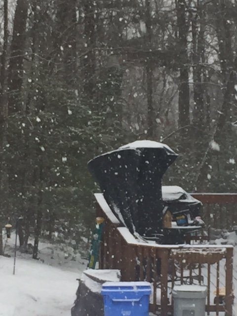
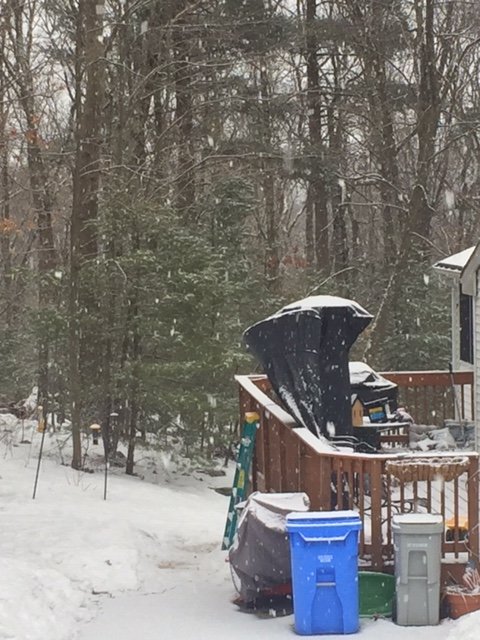
I haven’t measured but I will tomorrow morning....my guess is 6” in that same spot I posted the pic of 9-10” yesterday. Nasty and sneaky little torch this was. It’s the dewpoints that do it.
-
Tip “walking by Fox Hall during the torch of March 1991 seeing the college women in bikini tops tanning on blankets and frisbees being thrown around” post incoming.....
-
Classic black ice setup...radiational cooling going on with still a decent amount of LL moisture present.
-
Is that an error? That doesn’t look right. What do mesonets near there say? The general sfc plot seems like low 40s might be believable but not 50F.
-
Some places here now dropping under freezing. Radiational cooling ftw for them. Noticed ORE 28F...LOL Still 38 here but off the torch high of 44-45.
-
Champlain Valley sucks for retention....I’m defining retention here as snow depth days vs annual snowfall. They have a lot of snow cover days because of a lot of nickel and dimes but they melt out easily. I know you already know this, but maybe I’m just super aware of it from back when I visited St Michaels college a lot back in the mid 2000s. I’d leave ORH with a double digit pack and frequently there would be a junk 2-4” pack in the valley there after being buried most of the trip through MPV/Waterbury/Bolton and then it would go shit after Richmond. A few times during late season in March I’d go from a 10” glacier in central MA to bare ground there. Despite that, I kind of see where you are coming from. I’d still think they would have a few better streaks given the latitude.
-
Ours took an ass-wipping today. Really sneaky too..I didn’t expect like 10 hours of 40+ dewpoints. I thought we’d be like 37-38 mostly. We prob lost a solid 2-3” despite getting close to an inch fresh this morning.
-
BTV missed a 77 day streak by 2 days in the ‘70-71 winter a year later....lol. Look at those two streaks in the top 5 in the same winter. Only had 2 days in between the streaks.
-
Yep, phin’s area will CAD really well on those SWFEs that have damming up to like 850-900mb but if the CAD is mostly at the sfc or near-sfc and 850 winds are S or SSW then he can have trouble. It doesn’t really affect the snowfall too much though...the events where you need damming up to 800-850mb, he gets. We’ve had a dearth of those events though this year. Usually we’re good for at least 3-4 per winter. Esp in a Nina.
-
I mean, there’s definitely a chance that storm could hit...esp given the lead time of 7+ days....but there isn’t a big reason to be optimistic about it. Synoptically, it’s a tight squeeze to fit that storm into the pattern...eastern New England would have the best shot naturally but it is still a heavy lift even for them.
-
Sneaky torch day here. Up to 44F. This is our warmest dewpoint day. Even though we got almost an inch this morning the pack has taken additional hit.
-
It’s good weather for a 1980s throwback day.
-
Fascinating obs between Alex and Phin...Phin def got downsloped on today’s event.
-
It’s not a good pattern for lots of rapid-fire shortwaves and storms. The fact wavelengths are shortening some just means it’s a little easier to sneak something in within an ugly regime. The teleconnectors might be less influential than mid-winter in March, but they still matter. If we get a blocky Canada around mid-month and beyond, then things could get a little more interesting.
-
Looked nice this morning. Great snow growth even within the aggregates...lots of hooked dendrites. Had almost an inch but that compacted down to about a quarter inch in a matter of 45 minutes.
-
Seriously. We’ve had plenty of MJO treks into phase 8/1 produce nothing. There’s an outside chance at something D7-8 but a lot needs to go right.
-
Def need to speed up that southern stream just a bit and it would probably pull this storm back in for a hit. Of course, that’s simplistic “all else equal”...other variables could change too.
-
Keep getting waves of aggregates when these heavier bands go over. They last for like 10-15 min and then it lightens. Rinse repeat
-
Nice fatties falling
-
Nowhere in the east can match the presidentials for Mountain Views. They remind me of some of the views out west. Obviously for living though, people will weigh different aspects of the area. Berkshires def have their own charm. If you’re into breweries/restaurants/bars/etc, up north is no match for the Berkshires. I don’t weigh that kind of stuff very heavily though so I love that western ME to N NH area more.


