

ORH_wxman
-
Posts
93,092 -
Joined
-
Last visited
Content Type
Profiles
Blogs
Forums
American Weather
Media Demo
Store
Gallery
Everything posted by ORH_wxman
-
Yeah cutters are the worst in the heart of ski season. They are especially infuriating in February which is a climo min for cutters around here….and usually by February the mountains have a nice deep pack so cutters turning everything into a concrete glacier really sucks. Hopefully the one next week trends colder at least for NNE which is still might.
-
It’s easier to get a big March than a big December. The empirical data backs that up.
-
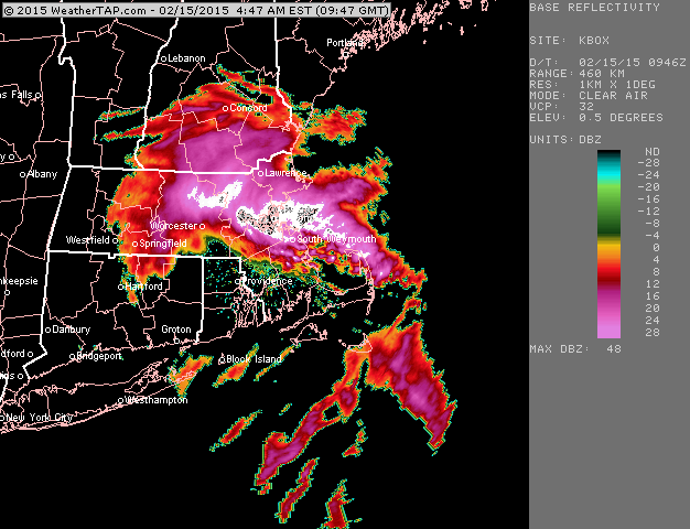
Yeah that was insane...parts of the shoreline from Essex county to PYM county had like 20 inches in 6 hours. I had about 14" I think and most of it fell in 3-4 hours.
-
Weeklies went cold too for the first half of March.
-
-
2017 and 2018 had the big Feb torches.
-
Gonna have to waste some of that energy too on melting pack rather than heating up the surface. Even if the pack melts out near NH border earlier, the air is still going to be traveling over snow pack in MA in RI/E CT to get there.
-
Yeah it seemed once you got about 10 miles north of the pike in eastern areas, the dry air was limiting some of the efficiency. I did notice the some of that late last night near BOS too...interesting distribution. I wonder if it kind of seeped down the coast a little further south there kind of like a cold tuck does. I would've expected BOS to be at least as snowy as here, but they had a couple inches less and almsot all the difference was probably from overnight...I think they had a little more than me earlier in the day. Then once you went due west into areas like near Jerry, he had more.
-
Yeah most guidance was probably a little light on QPF (except maybe the most bullish runs of HRRR/RAP)...there was a decent area of over 0.50" QPF on the south shore looking at the cocorahs map. Still, pretty impressive ratios were most of the deal...like I had 8" but all the cocorahs around here are in the 0.3-0.40" liquid equivalent range....that's a pretty big fluff job....20+ to 1 ratios. ALmost every model sounding I looked at had good snow growth too which I probably should have hit harder in my thinking. I was a little worried about dry air filtering in from the north, but that only seemed to be an issue on the northern edge of the band.
-
We also don't get 65-70F in February on due south winds.
-
Yep this is literally the worst possible timing too going right into Feb vacation week....just in time to ruin all the ski/snow mobile trails.
-
Yeah february is definitely the month where we have the least cutters....I expect these more in December.
-
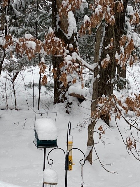
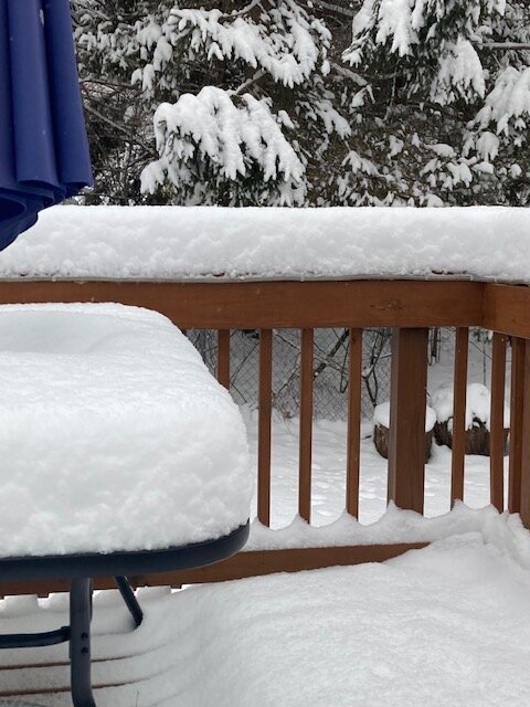
Couple more pics
-
I knew there could be some upside in this one, but didn't think 8" amounts would get all the way back here (figured SE MA/RI had a shot at that)...that was an impressive little fluff warning event. I'm not sure I ever got official moderate snow in this event....it was just a lot of 1 mile type light snow but with excellent snow growth.
-
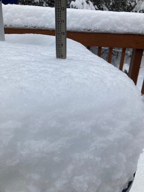
Around 8” here…
-
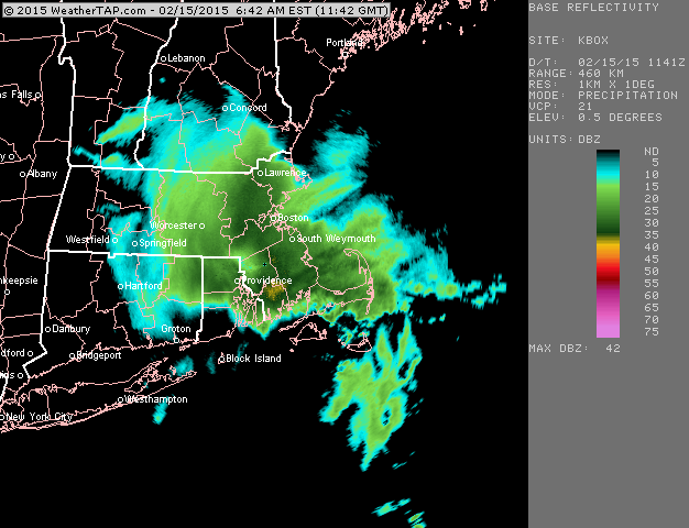
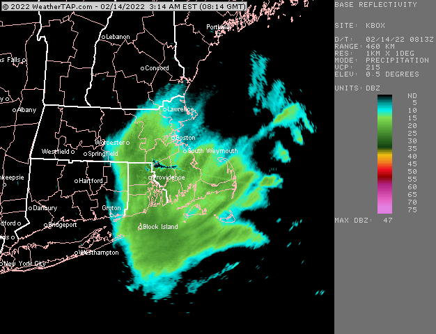
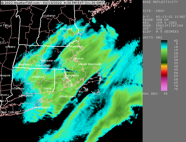
Getting hit nicely right now with this IVT band.
-
Flakes have gotten better through the evening. Almost a snow globe out there right now. Like powderfreak described above, it’s prob 1-1.5 mile vis but stacking up like moderate snow.
-
This post wins the thread.
-
I’d say here the snow growth is not quite as good as this morning but still very solid. This morning was like 20 or 25 to 1 blower fluff…this evening seems more like the 15-18 to 1 variety. This morning I was getting those solid nickel sized hooked dendrites.
-
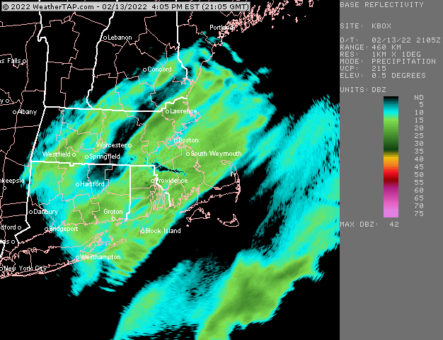
Regenerating pretty nicely right now. Some of the more bullish models had this look so it’ll be interesting to see if someone scores pretty good tonight
-
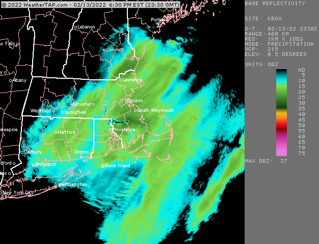
Scooter and south shore getting hit good right now
-
Nice band for metrowest right now
-
Some nice bands filling in
-
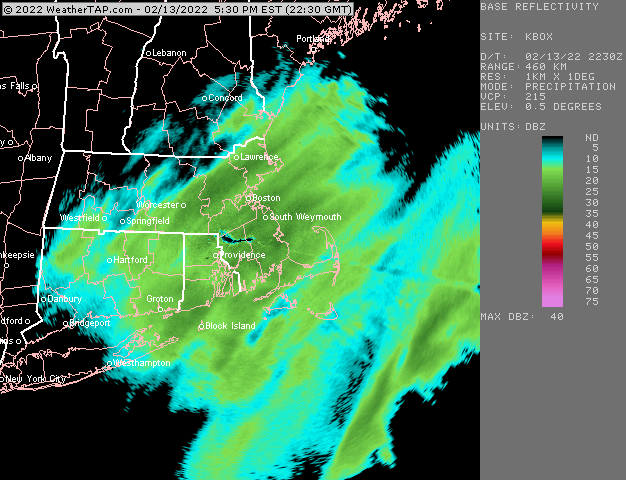
Classic sun angle obs….driveway has become snow covered again now that it’s late afternoon. Accumulations becoming more efficient again.
-
You’ll play catch-up tonight.


