

ORH_wxman
-
Posts
93,099 -
Joined
-
Last visited
Content Type
Profiles
Blogs
Forums
American Weather
Media Demo
Store
Gallery
Everything posted by ORH_wxman
-
I think the 12/19 storm is likely warm. The week after that looks more interesting though than it did.
-
‘94-95 prob would’ve been much better if it weren’t for a bad polar domain.
-
I wish we could trust the weeklies more…they look amazing for January. But really the confidence drops so much after D10-12 even on the regular ensembles…nevermind weeklies. If there’s one takeaway from the last couple of runs starting last night, it’s that even if the central Canada blocky pattern doesn’t produce, it’s a good omen for the polar domain later on…we should avoid a ‘94-95 evolution even if we temporarily look like 1994 for a week in December.
-
They are pretty horrible after week 2 which is how far out the ensembles go anyway. They really don’t provide a ton of value.
-
Ensemble member 6 was run out of Ray’s basement. Gets warning snows on the backside of next week and then another system hits just before Xmas for the double whammy.

-
EPS cooled quite a bit in the 11-15....that ridging over central Canada is looking more blocky which is helping us get some better airmasses riding down the eastern side of that....it's not Siberian express cold, but it would be enough for some wintry threat if we can get some shortwaves underneath.
-
Most other guidance is pretty warm still for 12/18-19 but the period after that is starting to look more interesting even if that one doesn’t produce anything. Might have an opportunity in the 12/21-12/26 range.
-
I don’t think it’s likely by any means, but if we keep seeing that high to the NW build in, then you could get a sneaky icing event…but right now guidance is all over the place on that look.
-
Yeah if you can get blocky in central Canada then that is one way to get some threats to work out..interior favored though given the airmass but you can often see some sneaky highs pike down with like -8C type 850 temps and that is more than enough in many cases. I agree with Scott that as we get closer to New Years and into early January, it becomes easier because you’re continuing to slowly cool the seasonal baseline state…home brew cold if you will prior to the cross polar flow returning.
-
06z GFS actually funnels down a lot of cold at the sfc early next week and creates an icing problem even though it’s torched aloft.
-
It’s the progged pattern. Early December was definitely different than ‘94.
-
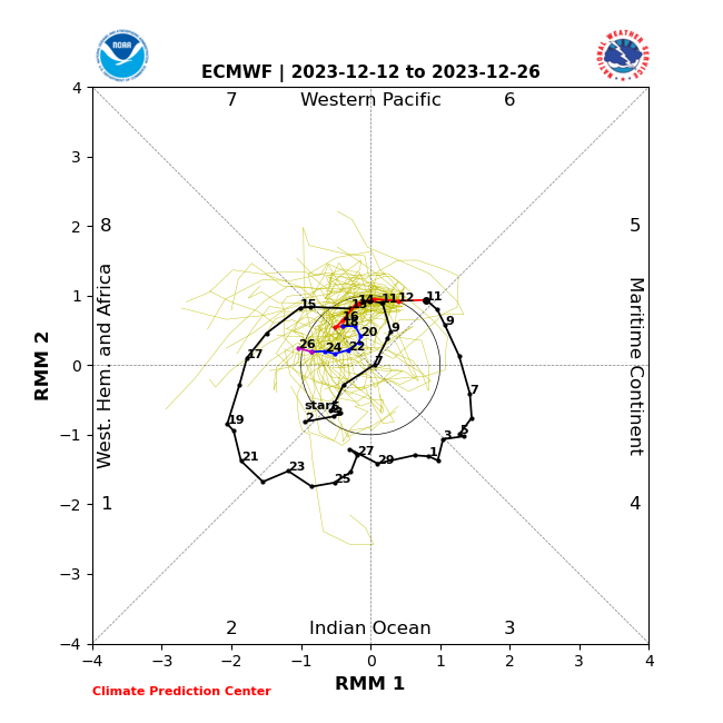
What? There’s been no preference on the MJO this cold season
-
Yeah, we cooled down late that month and into early January but then we had a monster MJO wave right back into phases 4/5/6 in Jan 1995 which reignited the torch until February that season. I do think the prospects of a much better arctic region are there for this winter versus that one. So hopefully we can start cashing in on some chances pretty quickly once we go into MJO 8.
-
The pattern right now is almost a carbon copy of Dec 1994 on the longwave look....I don't think we get out of it until late month.
-
Didn't melt until the 12/27 cutter....
-
I dunno, we've had some paste bombs recently inland....Mar 2023 (though I know your area mostly missed that...it was more ORH county)....Mar 7-8, 2018 was one. 12/5/20 was a 10" paste bomb in ORH....I think you mixed a lot but still had 6 or 7". Those are all in the last 5-6 years. Feb 1, 2021 was pretty pasty for the second half of the storm....coast got skunked pretty bad. But if you're looking for 20-30" of paste inland, you aren't going to find it very often....Dec '92 is the top example. Be glad you lived to see it.
-
Huh? Dec '92 was a generational storm...they aren't supposed to be common.
-
I think that report was Ipswich, MA....I always discounted it because it was such an outlier. I also feel like their map was light over interior N Middlesex county where most places had around 18-20"
-
They don;t have the lag we do out there in most spots.
-
That's my favorite storm of all time. Witnessed the entire thing unfold in it's unpredictable glory. One of the worst snowfall busts too. They were predicting 2-4/3-6" of snow the day before the storm in central MA.
-
Every winter has that potential. We're prob due for some breaks though. Tropical PAC does become a lot more favorable late month, so hopefully things turn around. If we're trying to sneak something in before that, I'd look at that the 12/21-22 period. Some of the guidance has been showing some weakness in the flow around that time. But obviously you need good timing when we have marginal airmasses.
-
I mean, I get the frustration of last winter, but we’re actually in a totally different pattern even if December sucks so far. People should also have realistic expectations. Decembers are typically pretty tough in El Niño unless you get big blocking. I think it’s fair to get discouraged if we are entering January and it doesn’t look good. But that said, you are correct that we don’t need a Kocin cookbook pattern to get snow events. That later month look where it gets a little blocky around Hudson Bay and adjacent Canada can work provided we get some western ridging with it to give us a few northern stream impulses.
-
How do people know what the “results” are going to be on January 5th? Or December 30th?
-
Most of the “punting” is just cope…nobody actually has any idea what New Year’s Eve is going to be like or January 5th or January 10th. But it’s easier to punt and then claim expertise on LR forecasting if we don’t get snow…or if you’re wrong, you get to track snow events. I’ll add that it’s very normal even during good potent El Niños to have Canada be pretty warm. Jan ‘87 was a torch up there. Jan ‘03 too though to a lesser extent. Even Feb ‘78 was. What we’re looking for is to amplify the western ridge a bit more so we’re not getting those flat-ish ridge over the central US. We want northern stream to be active in New England during El Niño and that’s when we often clean up. Even if temps are only so-so, we’ll usually still get our fair share.
-
There’s decent cold to work with around that time on the GFS. It’s the 12/19 threat that has a putrid airmass. I’d keep an open mind for that 12/21-24 period. It’s not a cold pattern for the CONUS at all but there’s some regional cold that could make it down into the northeast/lakes if that block N of AK rolls over into the PNA ridge…it temporarily forces a much more meridional pattern.


