

ORH_wxman
-
Posts
93,099 -
Joined
-
Last visited
Content Type
Profiles
Blogs
Forums
American Weather
Media Demo
Store
Gallery
Everything posted by ORH_wxman
-
I think you were like a half degree colder which made a big difference plus you may have gotten a bit beefier part of that band last night. Still thinking I may sneak double digits though if we can pick up another 4-5” of powder this afternoon. We’ll see. Accums have been pretty efficient the last couple hours. Been mostly that 3/4 mile type light snow but it’s def adding up on top of the paste now.
-
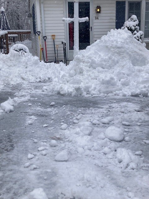
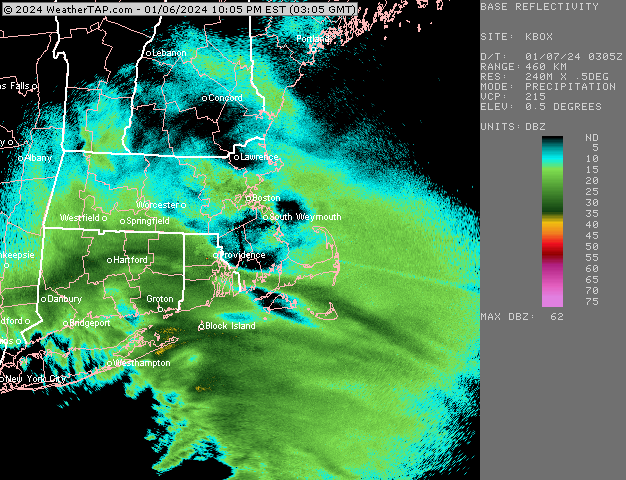
Took this an hour ago while outside. We paste…but it’s been powdery for a few hours now ever since the CF ripped through
-
About 6” now in Holliston. It was closer to 5-5.5” when I went out about 90 min ago. So I’m def running at least a couple inches behind MPM in westborough.
-
Awaiting the rapid development later
-
Down to 25 and dropping. Impressive CF Going out now to start cleanup round 1. Eyeballing 6ish? Maybe a little less.
-
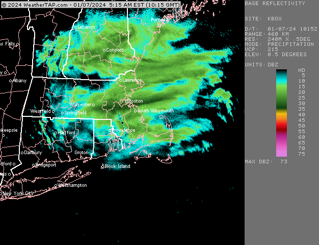
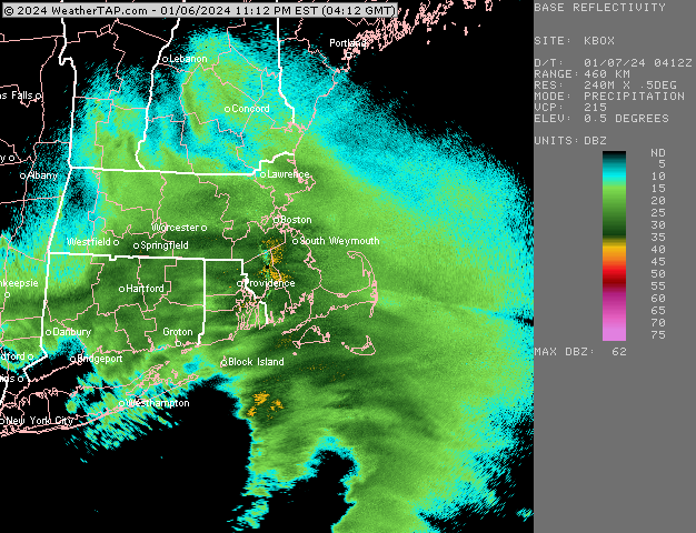
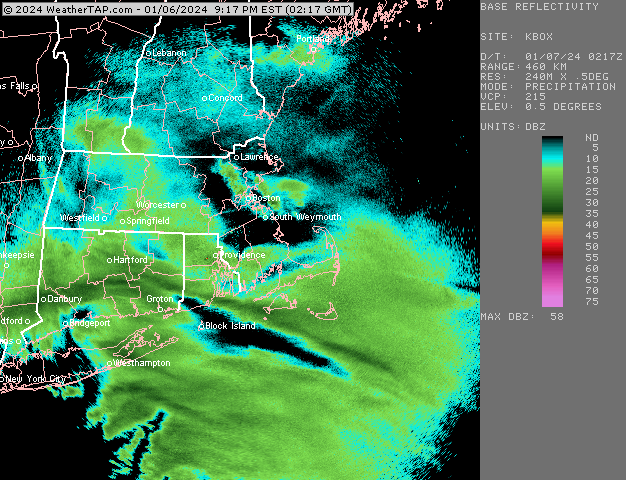
Band just stationary now back this way
-
Yeah this band has slowed almost to a halt. That would be awesome to sit under this for a couple hours
-
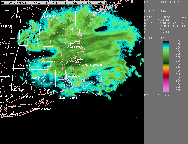
CF is basically just east of Rt 20/Rt 9 intersection and then basically parallels rt 20 over into Marlborough. Then up to near the Maynard/Sudbury line and over to Concord and Bedford before curving up to Billerica and Andover.
-
It’s possible I have a bit more. Just looked out window pretty quickly. I don’t think I have 6” though. You may have also gotten slightly better ratios.
-
Cranking here right now….we didn’t get the really heavy stuff like just north of here did for several hours. Looks like about 3-4” eyeballing
-
Pound town. 32.2F.
-
Going to miss 2-3” per hour.
-
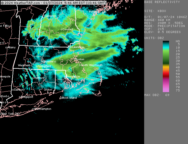
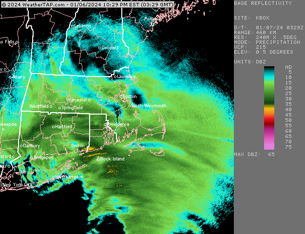
Some pretty nice banding starting to move eastward from CT. Hopefully we can pound for several hours coming up here.
-
How much you up to?
-
I haven’t given up on the 13th yet but I’d like to see a stronger trend soon. But there’s been some runs that had it a lot colder. Mean trough position is definitely more friendly by the 15th though…
-
Sucks the thump is crap on the coast. Wonder if it will try and flip to more snow with this stronger omega. But it sounds like good accumulations are going to be tough until CCB and temps come down some.
-
Getting absolutely pasted in this band. Temp was up to 33F but it’s ticked down about it a half degree to 32.5.
-
I think you’re prob gonna do several inches tomorrow afternoon so it really depends on what happens later tonight with the thump. You’re far enough inland that I think you’ll prob get 5-6 from the thump.
-
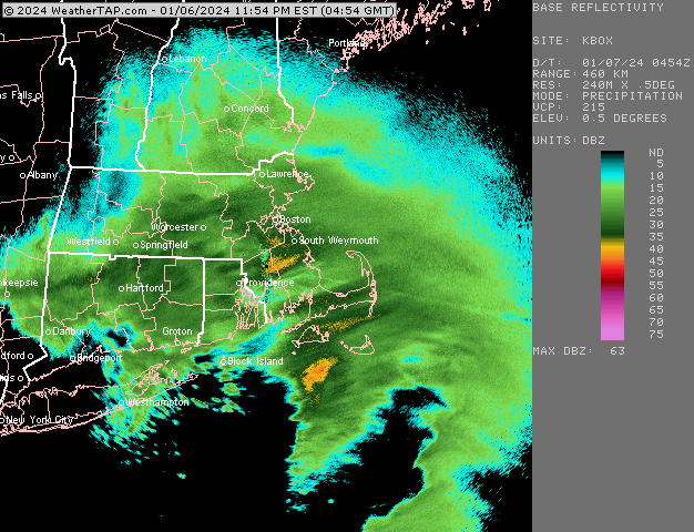
Quasi-stationary band too. Someone is getting lit up
-
00z guidance so far tonight is going pretty bullish on the CCB tomorrow. I think that may be a factor with crashing temps too in the afternoon. Still some disagreement on temp crashing. Some models really delay it until it’s almost over but others are crashing it in the middle of the CCB which would be a bigger deal.
-
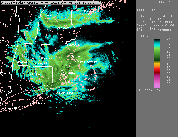
Could be a nice period of moderate to heavy snow over eastern areas looking at this loop. Filling in too south of HVN
-
It def can score some coups. It’s why we follow it more than a model like the ICON or some other bizarre high short term resolution model. It’s just hard to tell when it’s right beforehand.
-
Model war continues. RAP too is somewhat south but not as much as HRRR
-
Def a model war now between the short term mesos and others. RAP and HRRR continue to cool and also look better for the CCB tomorrow in eastern SNE while the other guidance sans 18z GFS has been trending warmer and maybe a little late with the CCB.
-
Some of the soundings in the CCB look almost convective. There’s prob gonna be some TSSN in that if those soundings verify.


