.gif.a8150e126cebc480193fad2934fe975c.gif)
Torch Tiger
-
Posts
16,383 -
Joined
-
Last visited
Content Type
Profiles
Blogs
Forums
American Weather
Media Demo
Store
Gallery
Everything posted by Torch Tiger
-
Friday is next failed severe threat? LFG
-
645 pm or so
-
-
-
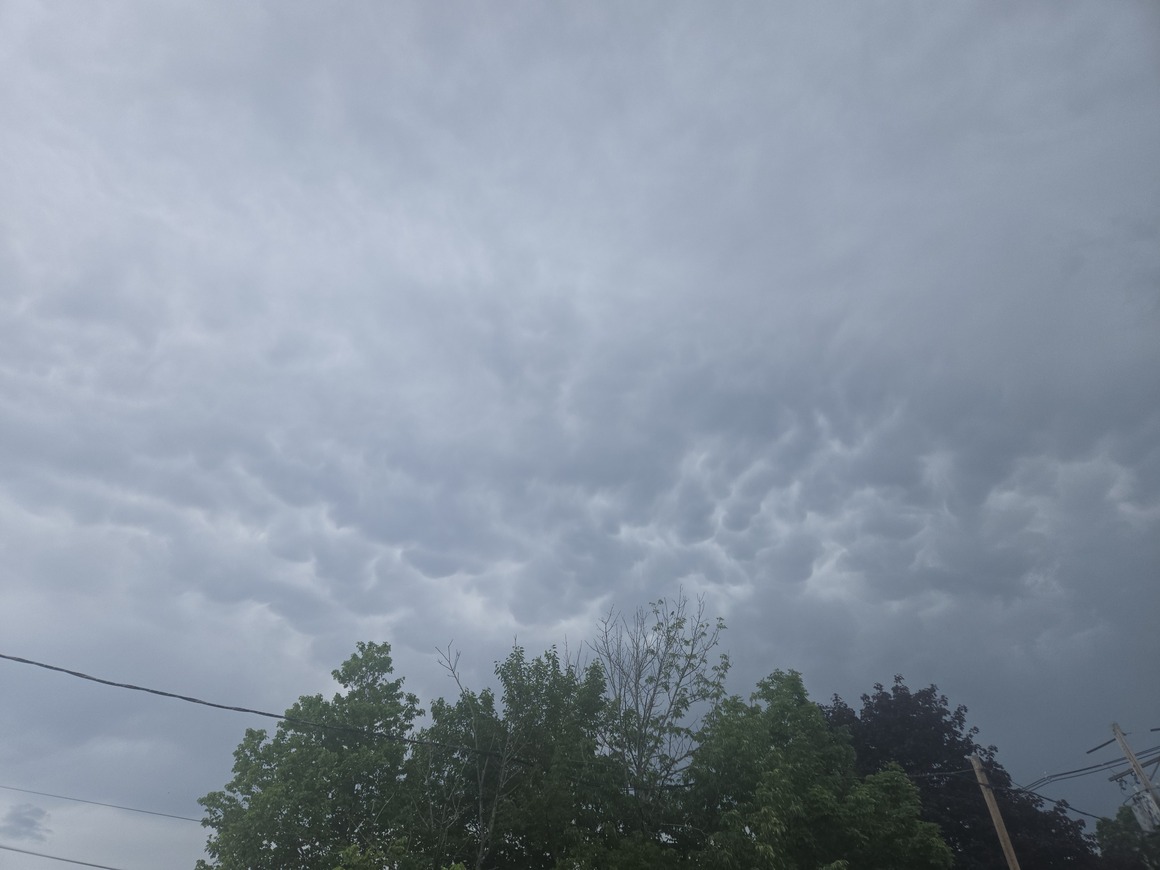
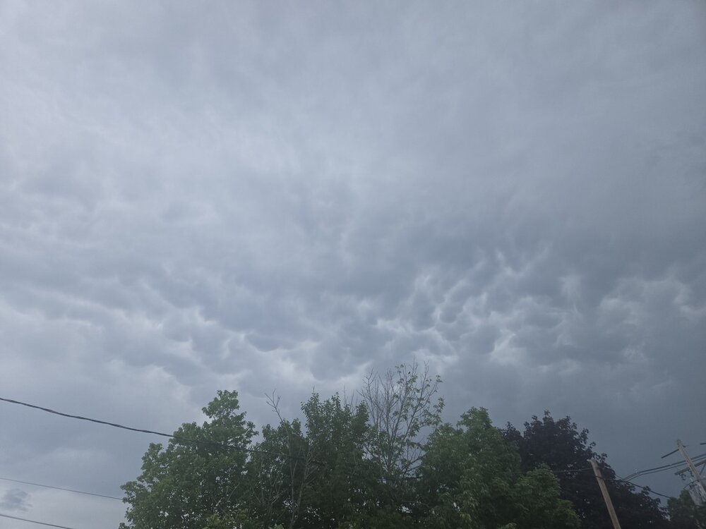
Downpour and a little wind. One thunder
-
-
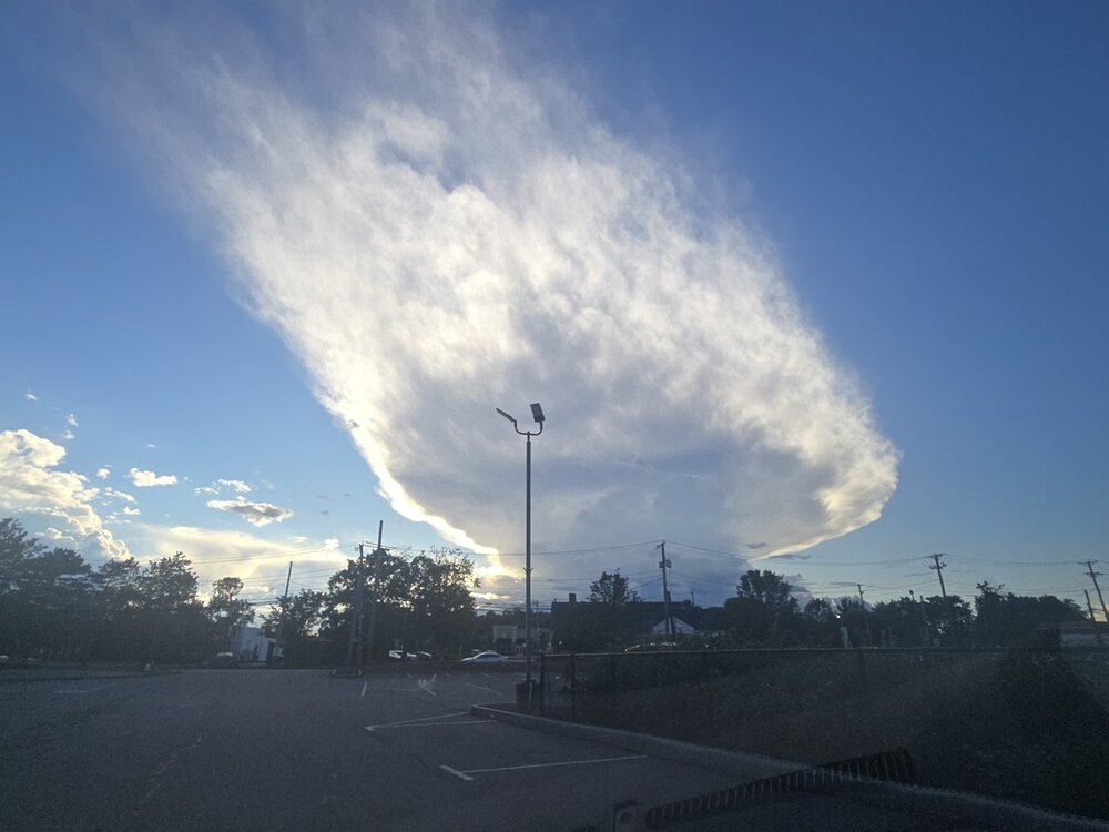
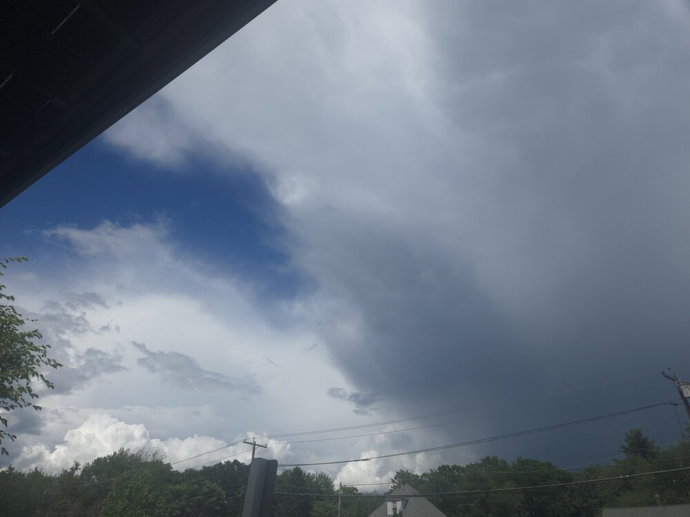
Crispy anvils and beers for all
-
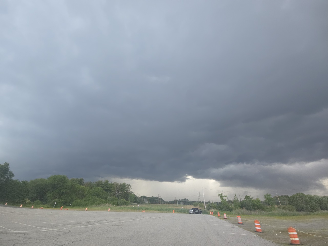
When the cell was maxing near S Wey. earler
-
acatt having a rough summer
-
Yeah remember the talk of 40's and 50's for days Silliness
-
So you told no one Got it lol
-
countdown to more sunlight as well! Exciting
-
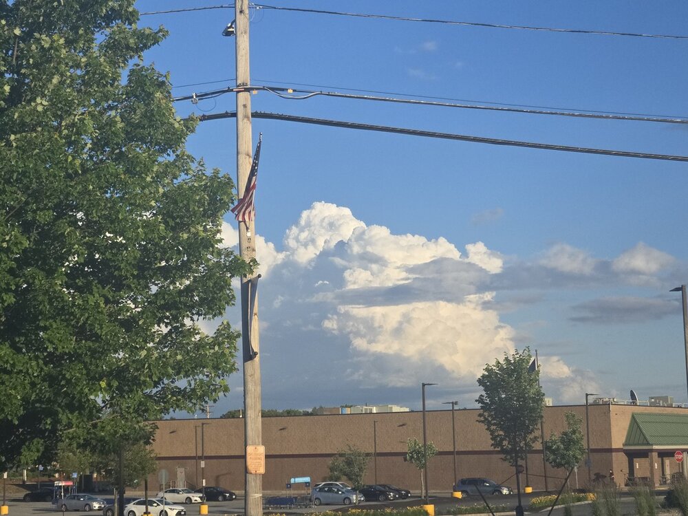
Holy wind
-
Decent drink in this general area - I didn't look but guessing .75" to 1" or so
-
lol....Stein won out for some, he's always lurking
-
Ya love to see it.
-
Gusting 40

-
Nashua storm shield in full effect
-
Sun popped and gusts to 30
-
Cloudy and breezy. Meh
-
Much like today, 6/1/11 was on the radar 7 days in advance as well
-
I would ignore that model and go off typical D3-5 lead in that "look" ;O I feel like it'll be a dousing for some but 1-2"++?, while most are .25-.50 BUT I have no idea what is going on, perhaps a pro can chime in.
-
not gonna interject but I think Tip gets it but FIGHT!!!!
-
Yeah There will be some heavy showers, the smoothed out look does not reflect the ground-truth. There will be haves and have-nots obviously
-
I don't know about that- not 100% anyway - seems like at least some decent showers will roll through. I'd wager at least .50 for your locale, but is real
.thumb.gif.f92b16c631a1d15d405ed77b33f0710d.gif)