.gif.a8150e126cebc480193fad2934fe975c.gif)
Torch Tiger
-
Posts
16,353 -
Joined
-
Last visited
Content Type
Profiles
Blogs
Forums
American Weather
Media Demo
Store
Gallery
Everything posted by Torch Tiger
-
.thumb.gif.f92b16c631a1d15d405ed77b33f0710d.gif) forgot about that, good call
forgot about that, good call -
always a wintry winter there
-
yeah, go big or go home landfalling cat 1 would be less than Gloria which was meh
-
Zero staying power though
-
Skyrizi summer rolls on. Nothing is everyyythinng oh oh ohhh
-
You have to be concerned. Drygust and Steintember to get through
-
west. there was nothing to track until the 18th onward

-
I meant long range
-
yeah, forget it. any convection way way west
-
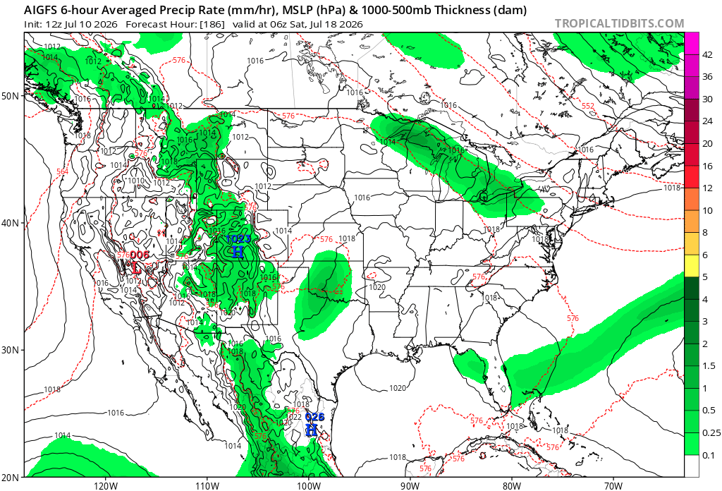
with the Central ridge being modeled more and more west, we may Stein for several weeks!
-
dry front about to slide through. Stein slider
-
Definitely some unsettled wx late next week - weekend? Hopefully some much needed severe. And it doesn't hold off until beyond
-
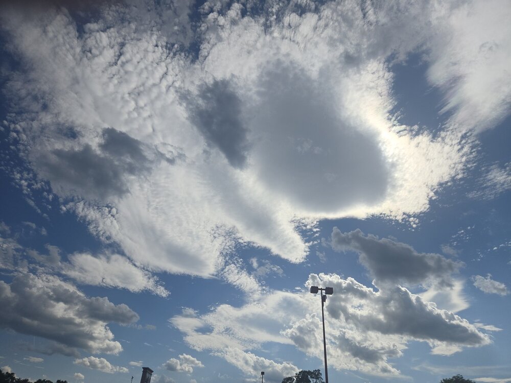
Fun variety of clouds out there
-
Perfect!
-
Maybe some severe around the 18th or 19th, otherwise SNE looks
-
Hoisting the Sultan Signal: Heavy Rain Event July 5-7
Torch Tiger replied to WxWatcher007's topic in New England
Like the prerequisite 70F on Grinchmas eve -
Hoisting the Sultan Signal: Heavy Rain Event July 5-7
Torch Tiger replied to WxWatcher007's topic in New England
Good July noreaster. Yeah winds are ripping ha -
Hoisting the Sultan Signal: Heavy Rain Event July 5-7
Torch Tiger replied to WxWatcher007's topic in New England
It did rain here. W -
Hoisting the Sultan Signal: Heavy Rain Event July 5-7
Torch Tiger replied to WxWatcher007's topic in New England
-
Hoisting the Sultan Signal: Heavy Rain Event July 5-7
Torch Tiger replied to WxWatcher007's topic in New England
Yeah I think Stein wins but we'll see -
Hoisting the Sultan Signal: Heavy Rain Event July 5-7
Torch Tiger replied to WxWatcher007's topic in New England
Great evening out there with Stein shield. You have to wonder it even rains here -
Hoisting the Sultan Signal: Heavy Rain Event July 5-7
Torch Tiger replied to WxWatcher007's topic in New England
days n days type event. Sucks -
Hoisting the Sultan Signal: Heavy Rain Event July 5-7
Torch Tiger replied to WxWatcher007's topic in New England
Nice mild, p sunny day. Take! -
Hoisting the Sultan Signal: Heavy Rain Event July 5-7
Torch Tiger replied to WxWatcher007's topic in New England
Love the overlapping bands, and hopefully that sets up right over north-central CT. We all want at least 6 to 12" in a good swath HFD-PVD -
Hoisting the Sultan Signal: Heavy Rain Event July 5-7
Torch Tiger replied to WxWatcher007's topic in New England
Let's gooooo!!!!