.gif.a8150e126cebc480193fad2934fe975c.gif)
Torch Tiger
-
Posts
16,353 -
Joined
-
Last visited
Content Type
Profiles
Blogs
Forums
American Weather
Media Demo
Store
Gallery
Everything posted by Torch Tiger
-
.thumb.gif.f92b16c631a1d15d405ed77b33f0710d.gif) starts the video with "massive heat dome"
starts the video with "massive heat dome" -
für Vortex
-
barely a breeze. 99F
-
100 on car therm in N. Billerica! This is so great!!
-
nothing really compares to that since, tbh. 26 years it was no different than a plains event
-
8/9-10 2000 blows this meager crap convection out of the water
-
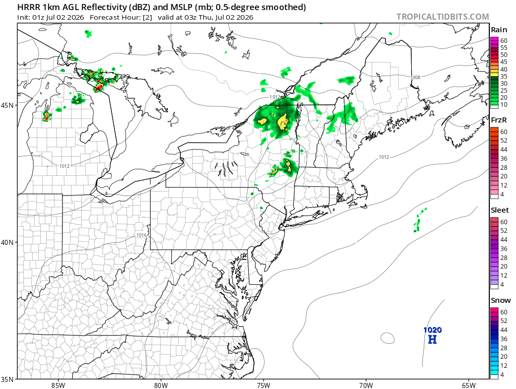
Weakening now. Lightning dropping quickly
-
Temp still low 80' so I assuming there is a bit of sbcape to play with along with mlcape
-
Lightning!!!!
-
Love it! 'Grats!
-
Looking forward to tomorrows bump up to record-shatting #'s!
-
what a wimp
-
Gorgeous day. Near perfect
-
on the 0z gfs, you can trace the h7 vorticity back to the four corners area. Good trajectory to get an EML or remnant EML in here
-
Saturday looking better for storms. Remnant EML? and should be some nice dcape if heating doesn't get mucked up by debris
-
wow what a mistake!!
-
Looks as though you may see a remnant leftover anyway
-
yeah, never was ours. Just hope someone west gets mowed down....next
-
Models did a really nice job highlighting NY today, even back to Thursday/Friday
-
max velocity is a huge weenie
-
A+!
-
what a torchy 12z gfs run after the early week warm-down. wow
-
some may have a very dry week, too. Stein a possibility