.jpeg.fb71a75fc71475b59e72598d4a9a6f88.jpeg)
TJW014
-
Posts
1,116 -
Joined
-
Last visited
Content Type
Profiles
Blogs
Forums
American Weather
Media Demo
Store
Gallery
Everything posted by TJW014
-
Freehold is gonna hit 30". Already at 24.2" there. But 5 days ago Steve D said there was no storm threat.
-
Got the snowshoes out and made a path to my measuring spot in the open field. 12.5" average as of 8 AM. Do we make it to 20"? Not so sure anymore.
-
Successfully napped off the migraine. There's easily another 3-4" on the roofs of the cars in the yard. Big 2' drift in between them. Peak gust of 52 mph. Still have yet to see a crusher of a band on top of me. Think the only thing saving the snow total are the higher ratios. This new stuff I can't pack into a snowball. I'd guess 15:1?
-
Could've played a part too lol. Classic migraine symptoms on my end. Runs in the family and my brother has one too. A migraine pill and I'll nap it off for a couple hours.
-
Ocean County has been kinda screwed over with the banding over the last couple hours.
-
About 8.5-10” in the yard after poking around for a bit. Then again I have drifts of 18” and spots that have bare ground from the blowing snow. Luckily with the wind direction, the driveway seems to be a wind tunnel blowing the snow right out and down the street. Less shoveling for me. Negatives? The rapid pressure drop has given me a migraine
-
Need to see some yellow.
-
Yesterday was beautiful out. Makes you wonder how people way back before weather forecasting existed would've felt with a blizzard after a 50 degree spring-like day.
-
6:30. 4" on the lawn. 2.5" on the road. Final measuring spot will be an open soccer field about 1/4 mi from me. Still SN/+SN. Visibility still around 1/4/ - 1/2 mile. Massive flakes, heavy wet snow. Rate's about 1.5"/hr
-
Too bad, I'll be out scouting the snow tonight/tomorrow. State Police only posting because their Durangos and Tahoes only have 8" of ground clearance. I have 15"
-
Nearing blizzard conditions along the shore. Sustained 30-35, gusts to 45 mph. Gonna go out and have fun in the go kart and sleds for a few hours.
-
5:30 PM. 2.5". 1" on roadways. SN/+SN
-
1" on cold surfaces. beginning to stick on sidewalks and roadways. Visibility down to 1/2 mile. Mdt to hvy snow.
-
About 0.5" on non paved surfaces. Updates may be sporadic. Currently well under the influence at the brewery lmao. $1 beers ftw
-
35 air temp
-
Snow beginning to stick to cold surfaces
-
I and @Volcanic Wintermay have a chance at breaking the all-time snow record here in Toms River. Current record was 24.5" from Boxing Day 2010. 24.0" was measured from the Blizzard of 1996. NWS has us for 27" currently
-
We're very lucky it's not a new/full moon
-
What fantastic timing for the boiler for or baseboard heating to blow. Going to be at least a week or two before the new boiler arrives. Oh what fun!
-
Yardstick has been purchased. A ruler will do no good
-
Great, now you just jinxed KDIX
-
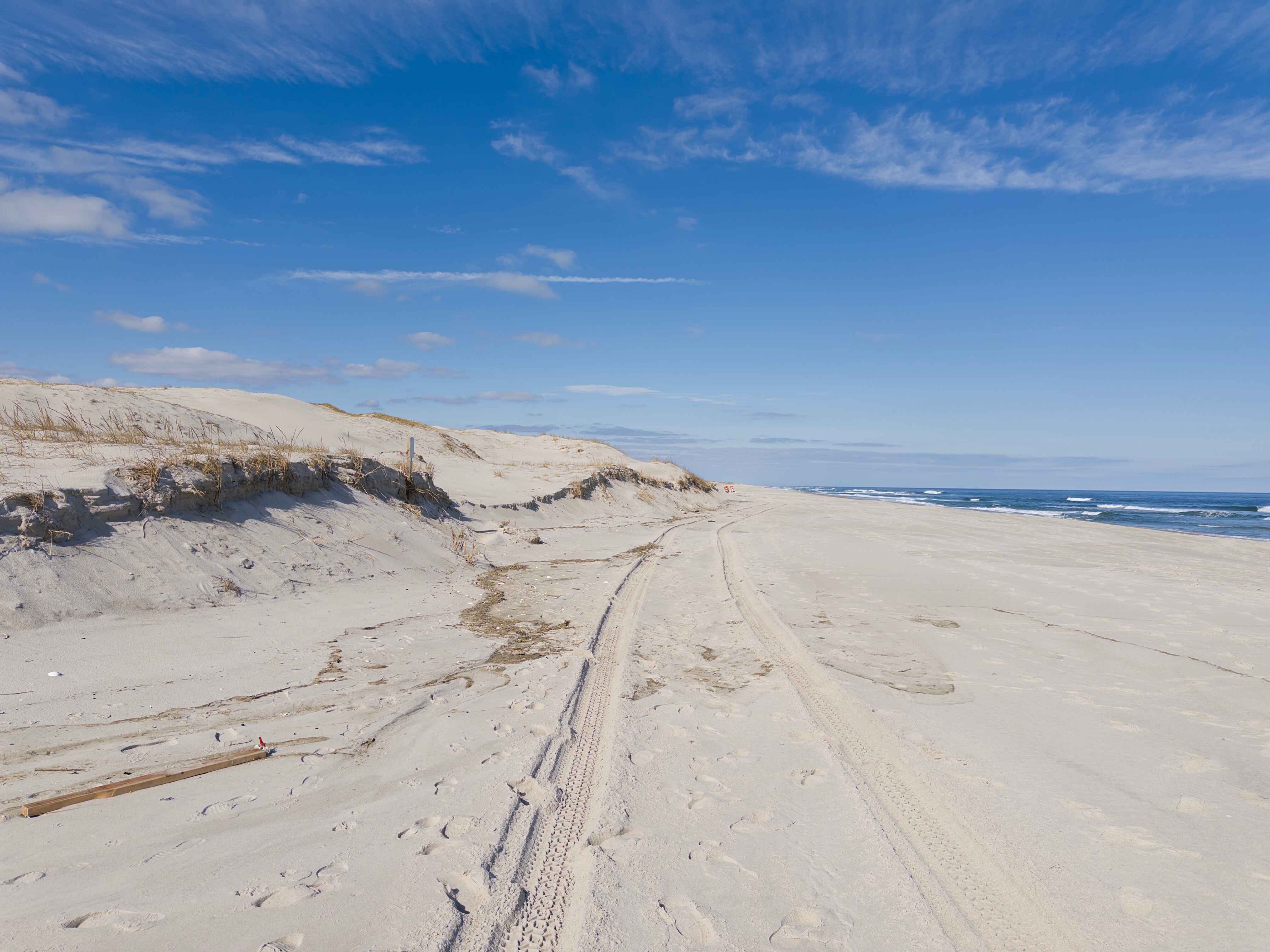
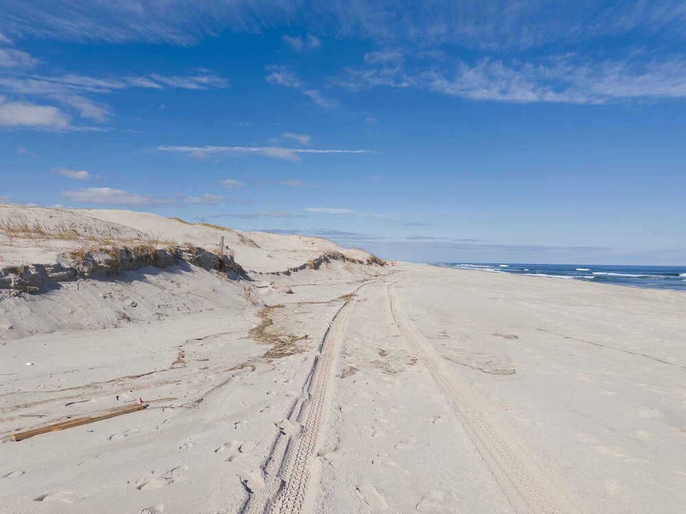
Calm before the storm. Sun feels great, even had the windows down driving along the beach. Got my photogrammetry flights in with the drone, building maps now. Beach is gonna look a whole lot different in 48 hours.
-
3" of QPF will be great for the drought.
-
HRRRicane
-
And it's still snowing
.thumb.jpeg.f5c6ba9d911ec96b3b124f8606aee58e.jpeg)