.jpeg.fb71a75fc71475b59e72598d4a9a6f88.jpeg)
TJW014
-
Posts
1,116 -
Joined
-
Last visited
Content Type
Profiles
Blogs
Forums
American Weather
Media Demo
Store
Gallery
Everything posted by TJW014
-
Foreplay is strong with the GFS. But can it finish, or will it think about its ex, the Euro instead?
-
Wildfire season's going to be rough.
-
GFS = Generates Fantasy Shit
-
It'll set up right over his house.
-
It's sun angle season. Nothing's sticking until nighttime unless it's on existing snow piles that are still around
-
Weather balloon data starts coming in with the 12z models. I think by then we really start getting a grip on who's getting what. IMO, the ridge is going to be a little too far east for the storm to gain enough latitude before kicking ots. Right now it's showing the ridge vertex over MT and WY. If that ridge retreats west to the ID/MT border, we're in business. For now I like Jersey Shore WWA scraper or a miss over a warning-critera snowfall.
-
This sub is more bipolar than Kahn Souphanousinphone
-
If these Day 5-6 maps verified, I'd have over 100" of snow on the season total. Yet instead I have 17"
-
Steve D says it's not coming. That means a jackpot for Freehold
-
90/10 rain/snow mix.
-
KDIX has to be the one of the worst in terms of reliability out of all the radars across the nation. And we’re still 15-20 years away from a replacement.
-
Drizzling. 35. Won’t take much to cool the air column.
-
I’m gonna go with 2” on top of the existing snowpack down here. 1” on bare surfaces. Nothing sticking to the roads unless rates are high enough. Maybe wake up to a surprise.
-
Should the trends over the last 24 hours pan out tomorrow night, it teaches everyone a few lessons 1. Models suck, and they've been getting worse, for a number of reasons. 2. Some mets/weenies are hard-asses (look at Twitter). 3. Just because an ensemble, OP, or meso model solution is IMPROBABLE, doesn't mean it's IMPOSSIBLE.
-
Don't move anything! Sincerely, C/S NJ
-
Steve DiMartino is getting dragged through the wringer in wxTwitter
-
Incredible to see California being one of the only states without any drought.
-
Some drone footage too: https://imgur.com/a/DdlU4u6
-
For the atheists: https://imgur.com/a/L5eUust
-
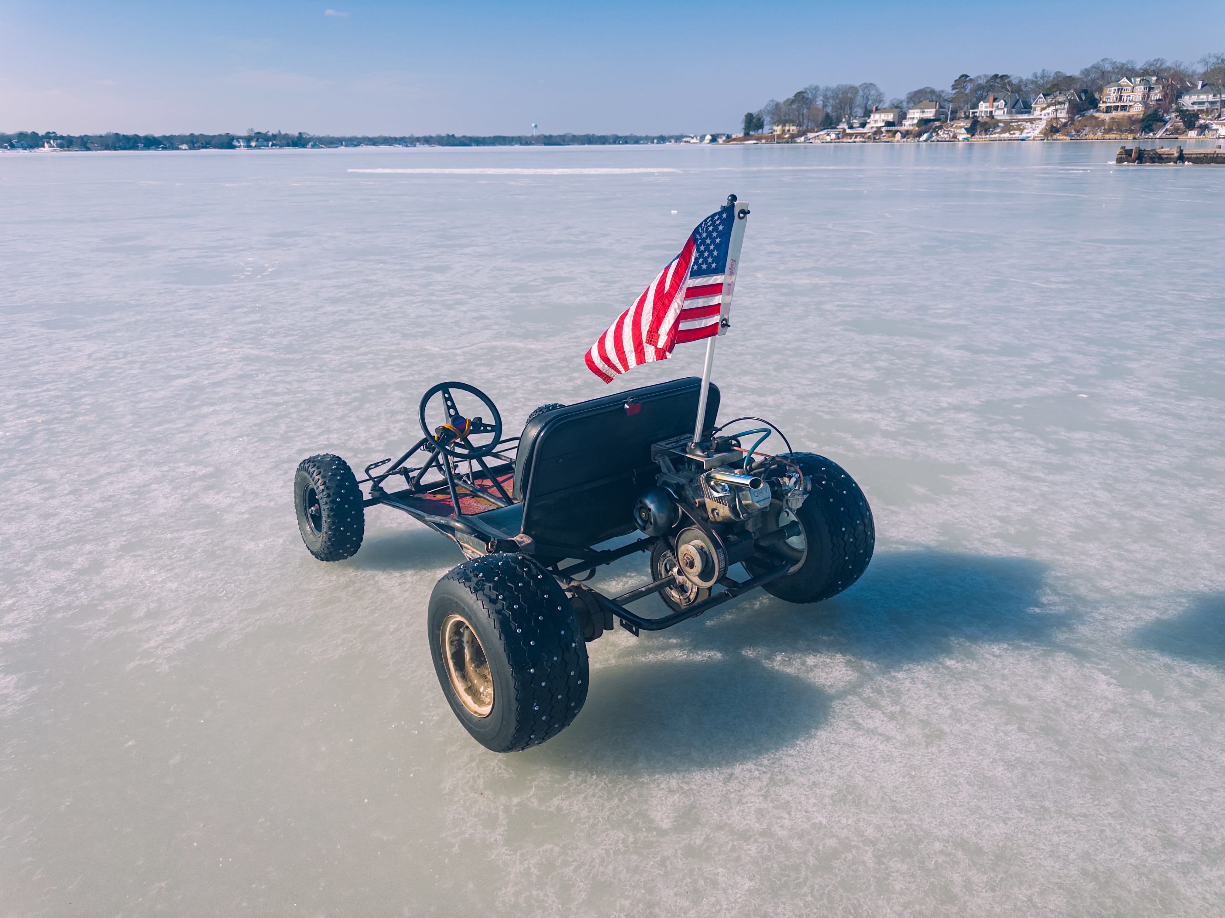
Up to 45. Not even wearing a jacket. River ice is 11" thick. Time to go and do some stupid shit before the ice melts.

-
When isn't it a "thread the needle" situation here, and when have they ever worked in our favor?
-
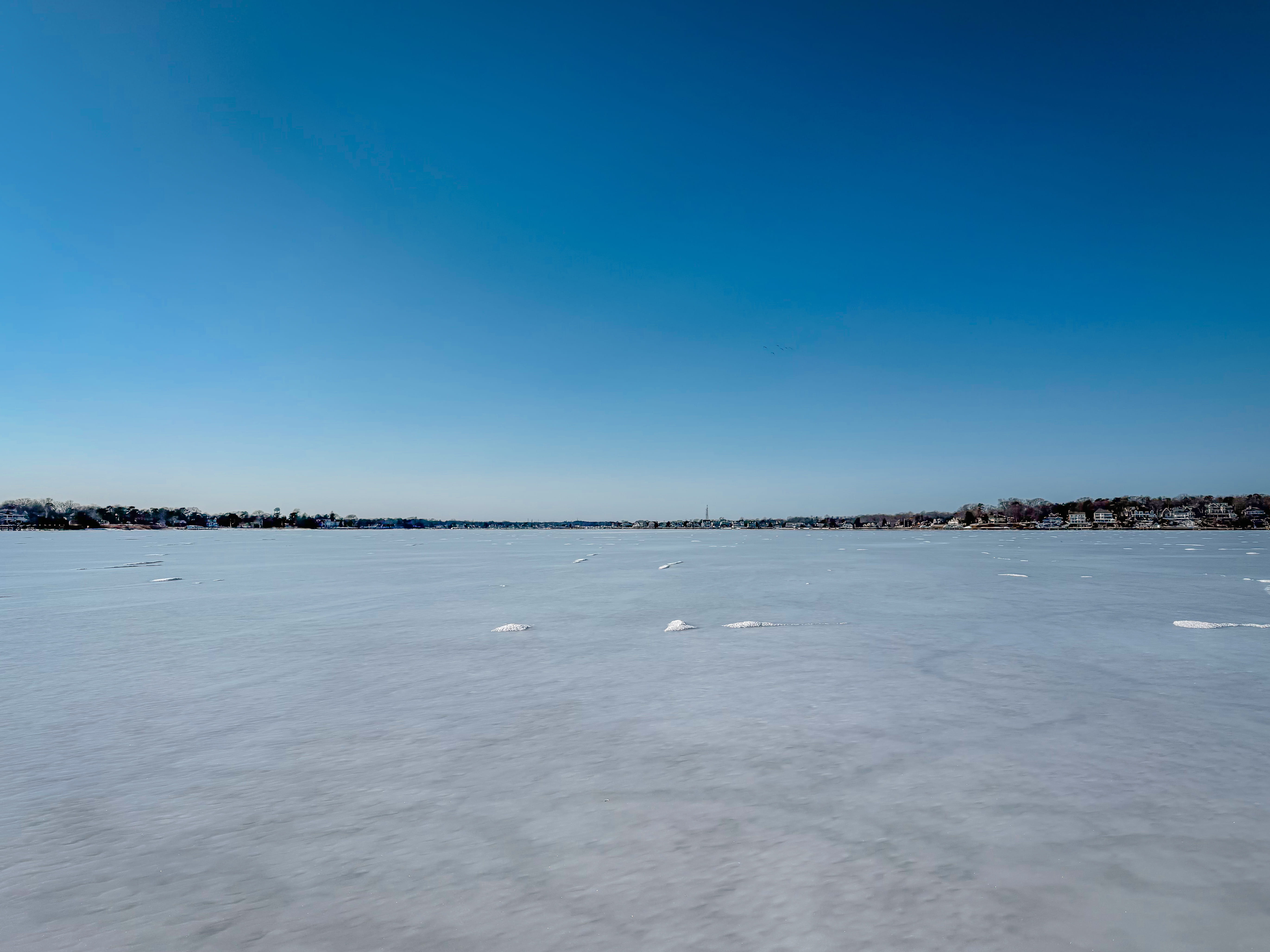
Rock solid. 13" thick off Toms River Yacht club. Walked across to Ocean Gate for pizza. The urge to drive on is rising... If only I didn't have a 4900 lb SUV

-
Really the past two years as a whole have been dry. Aside from May 2025, we've seen near or below average precipitation.
-
Morning low of 7 this morning. Scraped probably a 1/2" layer of frost off the windshield.
-
Sun feels great. Getting to that point in the year where I don't need to crank the heat on full blast when getting in the car in the afternoon. It's already warm inside.
.thumb.jpeg.f5c6ba9d911ec96b3b124f8606aee58e.jpeg)