Shocker0
-
Posts
607 -
Joined
-
Last visited
Content Type
Profiles
Blogs
Forums
American Weather
Media Demo
Store
Gallery
Everything posted by Shocker0
-
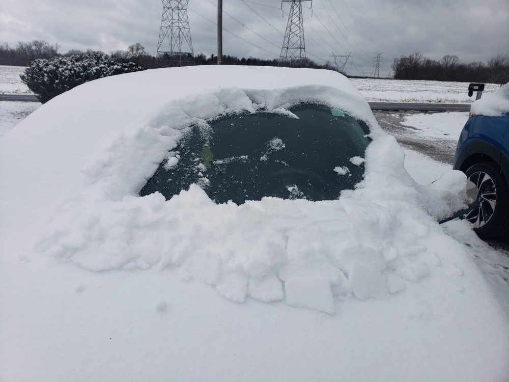
The sun never really came out here surprisingly but we still had melting in the "drifty" spots where there wasn't as much coverage. And it was only 31 degrees today. Maybe we'll all get more the next couple days.
-
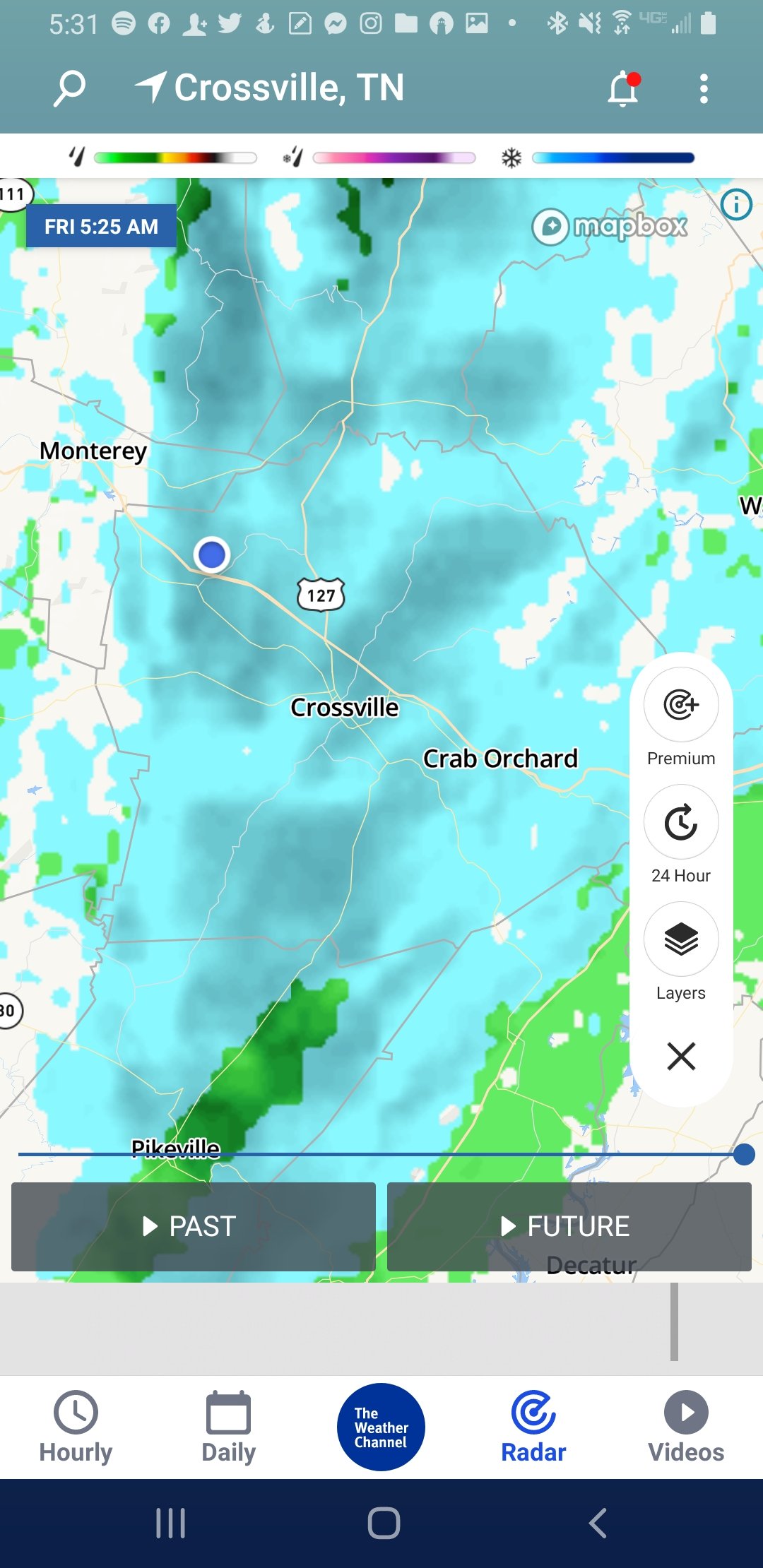
I think more like 3" it's just blown around everywhere. I didn't measure but the car seemed to have more on it than the grass probably. Every snow we've had here this season has been almost the same amount seems like. I wish it wasn't so windy here or it would've made for some really good pictures of the trees again. They did model it pretty well though, the random dark blue blip is over me above Crossville.
-
Melted off the roads here and is 31 now. Looks like maybe more snow tomorrow night here but with it supposed to be around 36 or so most of this will probably melt?
-
I think it's pretty much done here between Monterey and Crossville but another good solid event overall EDIT: Actually looks like a couple heavier bands will be coming through shortly so may pick up a little from those
-
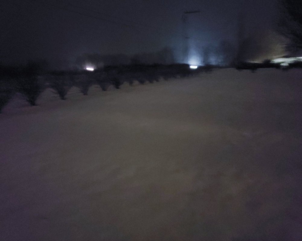
Same here. I went to bed about 3.5 hours ago and it hadn't started here yet so I'm surprised since when I went to bed it seemed it was all west of Nashville. Hopefully it keeps up and we all get some snow that'll last more than a day or so with the colder temps ahead. This is already the best winter in three or four years at least here. Sorry for crappy pic quality
-
Feels like it could be a bust here...or was the first wave that came through not really supposed to amount to anything and it's mostly whats in West Tennessee thats expected to add up?
-
They did! Ran into heavy snow just east of there on the way home. Video quality sucks but the flakes were pretty huge. video-1610766270.mp4
-
I'm in Lebanon eating and snow rain mix was coming down pretty good a few minutes ago. Seems quiet now
-
It's technically not the same system I guess, but we just had heavy snow and big flakes come rolling through here laying down a good dusting!


-
January 2021 Medium/Longterm Pattern Discussion.
Shocker0 replied to AMZ8990's topic in Tennessee Valley
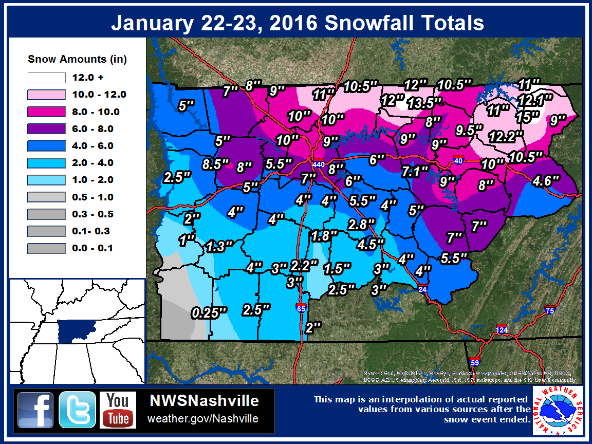
Thanks for sharing! The image there is very accurate. I remember (living in the NW part of Cumberland County where it shows 10-10.5" on the map) getting sent home from work early due to the snow. My car already had about four inches of snow on it. I drove 8 miles Southeast into town to grab some food and chill at home. When I got to town there was no snow and it was still raining there and the drive thru woman asked where the heck I lived that there was that much snow already and I told her just a few miles up the road. Once it had quit snowing they were about six inches behind where we were just up the road due to the snow starting way sooner here with us being about 200ft higher elevation. It was one of the sharpest snow cutoffs I can remember here.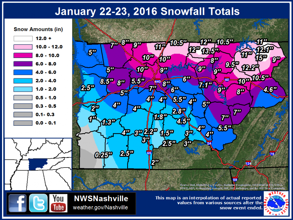
-
January 2021 Medium/Longterm Pattern Discussion.
Shocker0 replied to AMZ8990's topic in Tennessee Valley
Yep and most midstate areas received much more than forecast. Nashville eastward was common 8-12 inch amounts and then it trickled off some once you got east of the Plateau I believe -
January 2021 Medium/Longterm Pattern Discussion.
Shocker0 replied to AMZ8990's topic in Tennessee Valley
We got around 9-10 inches here in January 2016 but it was on January 22nd in Crossville. I do remember a couple days before that we only got about two or three inches from the one you're talking about and areas east of here got a lot more I think. It must've been warm on the 21st because I remember almost all of it had melted by the time the big storm hit on the 22nd. The 22nd we were supposed to get 2-4 inches but it changed over from rain several hours earlier so we got a lot more than expected. It's the most snow I've had since moving to Crossville in 2012. -
Jan 11-12 Mississippi Mauler: Will it or won't it?
Shocker0 replied to John1122's topic in Tennessee Valley

-
Jan 11-12 Mississippi Mauler: Will it or won't it?
Shocker0 replied to John1122's topic in Tennessee Valley
It seems to be easing up here now, but beautiful snow. It reminds me of a couple good winters in 2010 and 2011 when the last snow hadn't completely melted before more fell on top of it.
-
Jan 11-12 Mississippi Mauler: Will it or won't it?
Shocker0 replied to John1122's topic in Tennessee Valley
Fairly heavy snow in Fairfield Glade near Crossville: https://www.wate.com/weather/weather-cameras/fairfield-glade/ -
Jan 11-12 Mississippi Mauler: Will it or won't it?
Shocker0 replied to John1122's topic in Tennessee Valley
I can see this melting fast if the sun decides to peek through later but hopefully it will surprise us all and snow all day. -
Jan 11-12 Mississippi Mauler: Will it or won't it?
Shocker0 replied to John1122's topic in Tennessee Valley
TWC also suggests a changeover to rain here but I doubt it. It said the storm the other day would start out as rain for a few hours as well but it was all snow here. Hopefully everyone on the forum can get a surprise hit today.
-
Jan 11-12 Mississippi Mauler: Will it or won't it?
Shocker0 replied to John1122's topic in Tennessee Valley
Bad when you gotta make a trip to Louisiana for the good stuff -
Jan 11-12 Mississippi Mauler: Will it or won't it?
Shocker0 replied to John1122's topic in Tennessee Valley
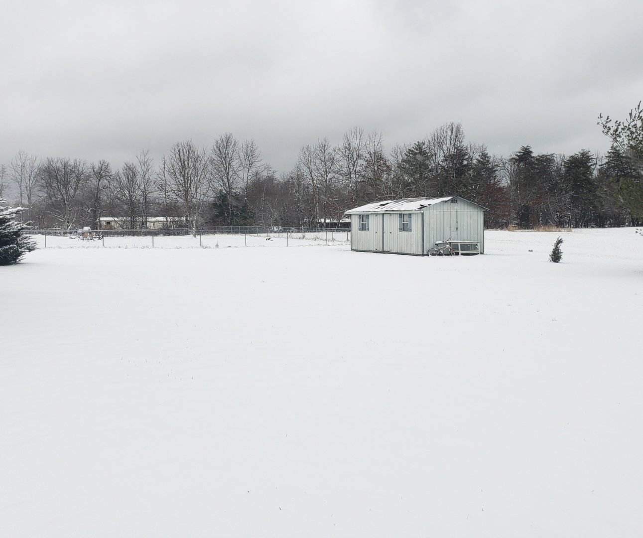
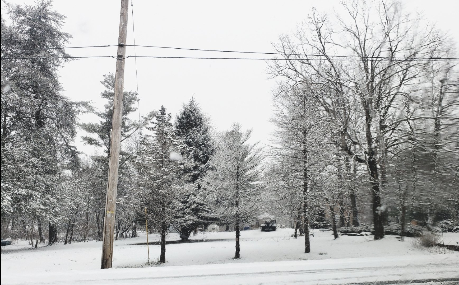
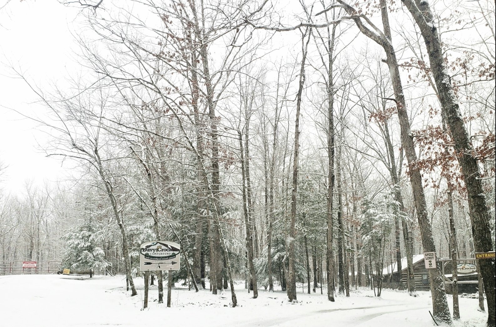
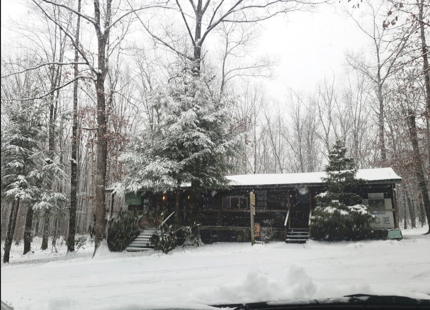
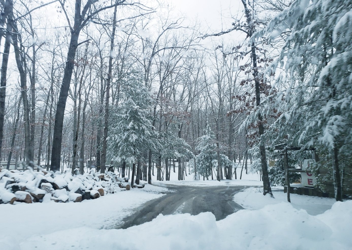
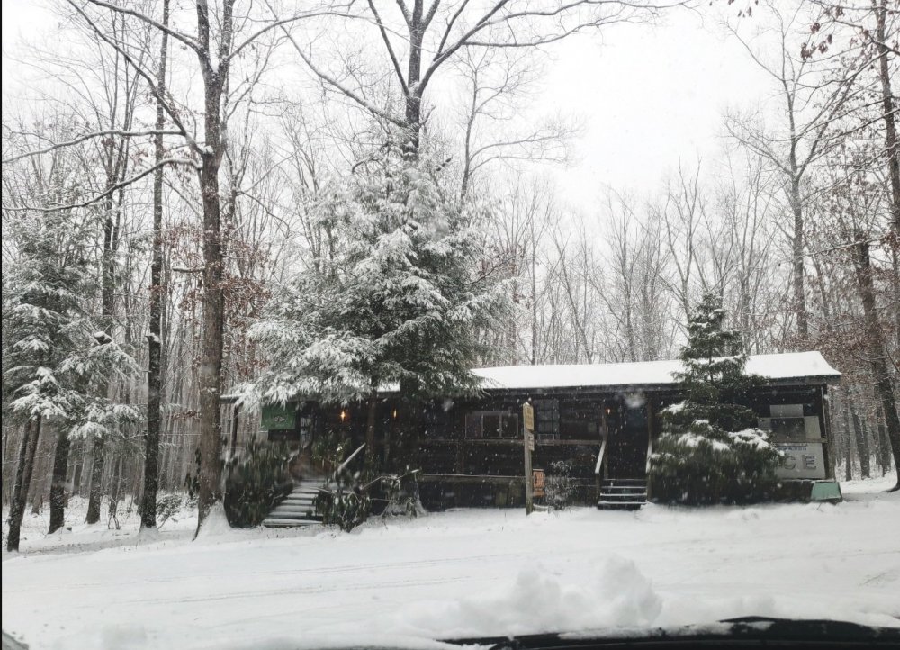
Went to the campground by the house to take a couple pics since it was so pretty in the snow the other day. Still a little snow was leftover from that event but it's always a nice scene there with the woods and cabins.
-
Jan 11-12 Mississippi Mauler: Will it or won't it?
Shocker0 replied to John1122's topic in Tennessee Valley
Flakes are normal size here in Crossville. Falling straight down with light wind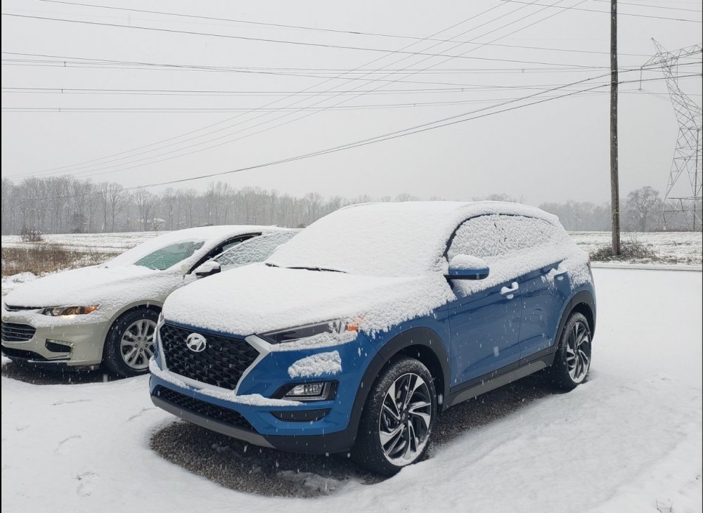
-
January 7 - 8 ULL obs and nowcast
Shocker0 replied to Holston_River_Rambler's topic in Tennessee Valley
Yeah I know how to do all that, it just felt quicker to me to screenshot the picture I just took and upload that. Because screenshotting the picture seems to put it at around 1mb but the quality still looks good -
January 7 - 8 ULL obs and nowcast
Shocker0 replied to Holston_River_Rambler's topic in Tennessee Valley
Same here. It had melted off our walkway by this morning despite the temperature showing 29-30 all night. -
January 7 - 8 ULL obs and nowcast
Shocker0 replied to Holston_River_Rambler's topic in Tennessee Valley
I take a picture and then a take a screenshot of the picture with my phone lol -
January 7 - 8 ULL obs and nowcast
Shocker0 replied to Holston_River_Rambler's topic in Tennessee Valley
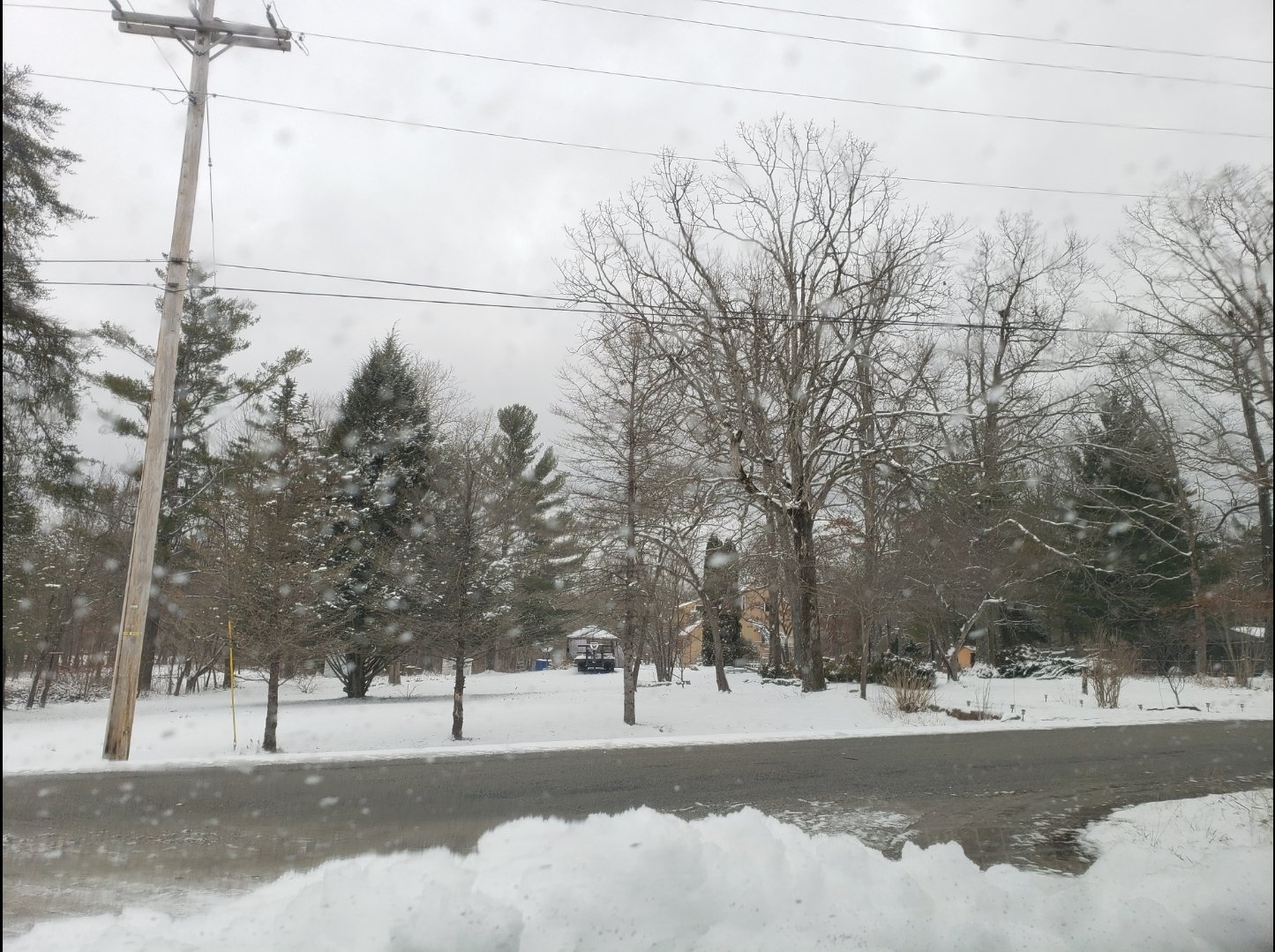
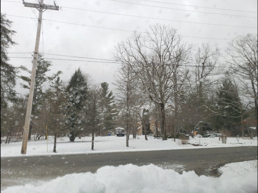
I drove to my bank in Monterey 10 miles away and they only have a dusting to an inch. Usually they get as much or more than us in some cases. Definitely a finicky system. I drove through the campground beside my house and it's beautiful this morning
-
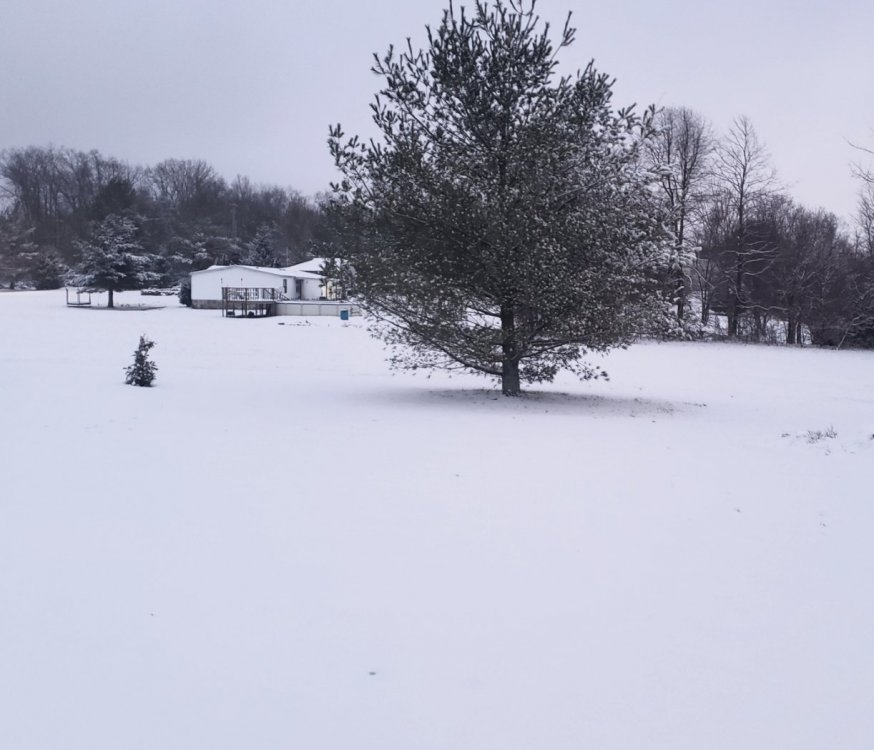
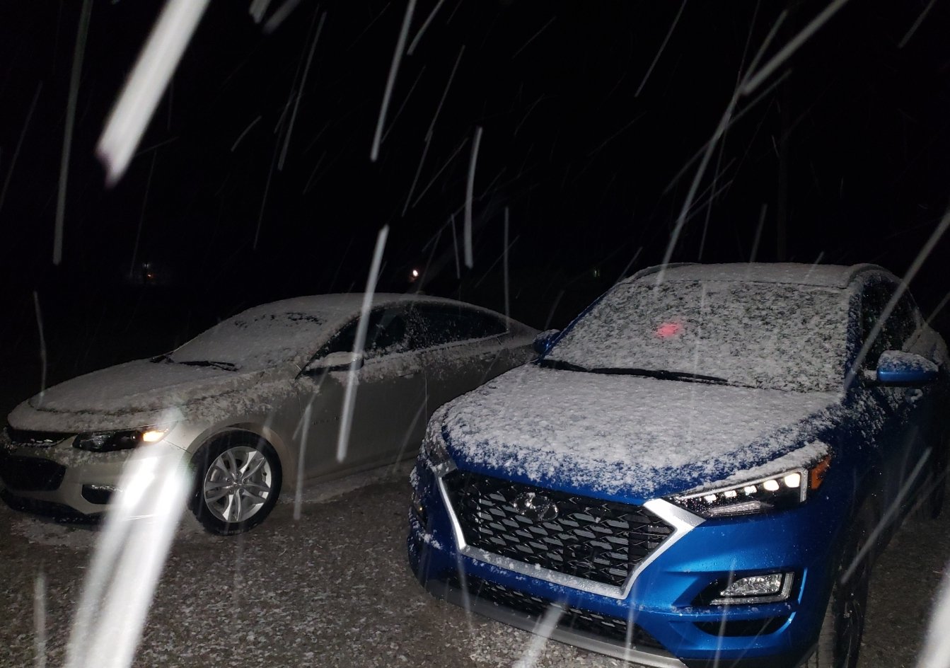
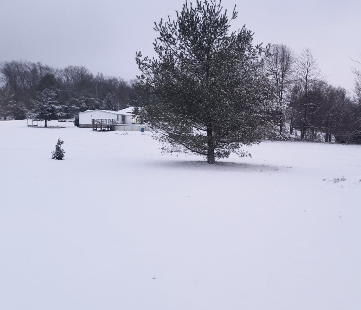
Exceeded my expectations here between Crossville and Monterey for sure. We were on the edge of just getting a dusting according to most models, so it did overperform here. Pretty snow though, im surprised this one didn't stick to the trees more.