Shocker0
-
Posts
607 -
Joined
-
Last visited
Content Type
Profiles
Blogs
Forums
American Weather
Media Demo
Store
Gallery
Everything posted by Shocker0
-
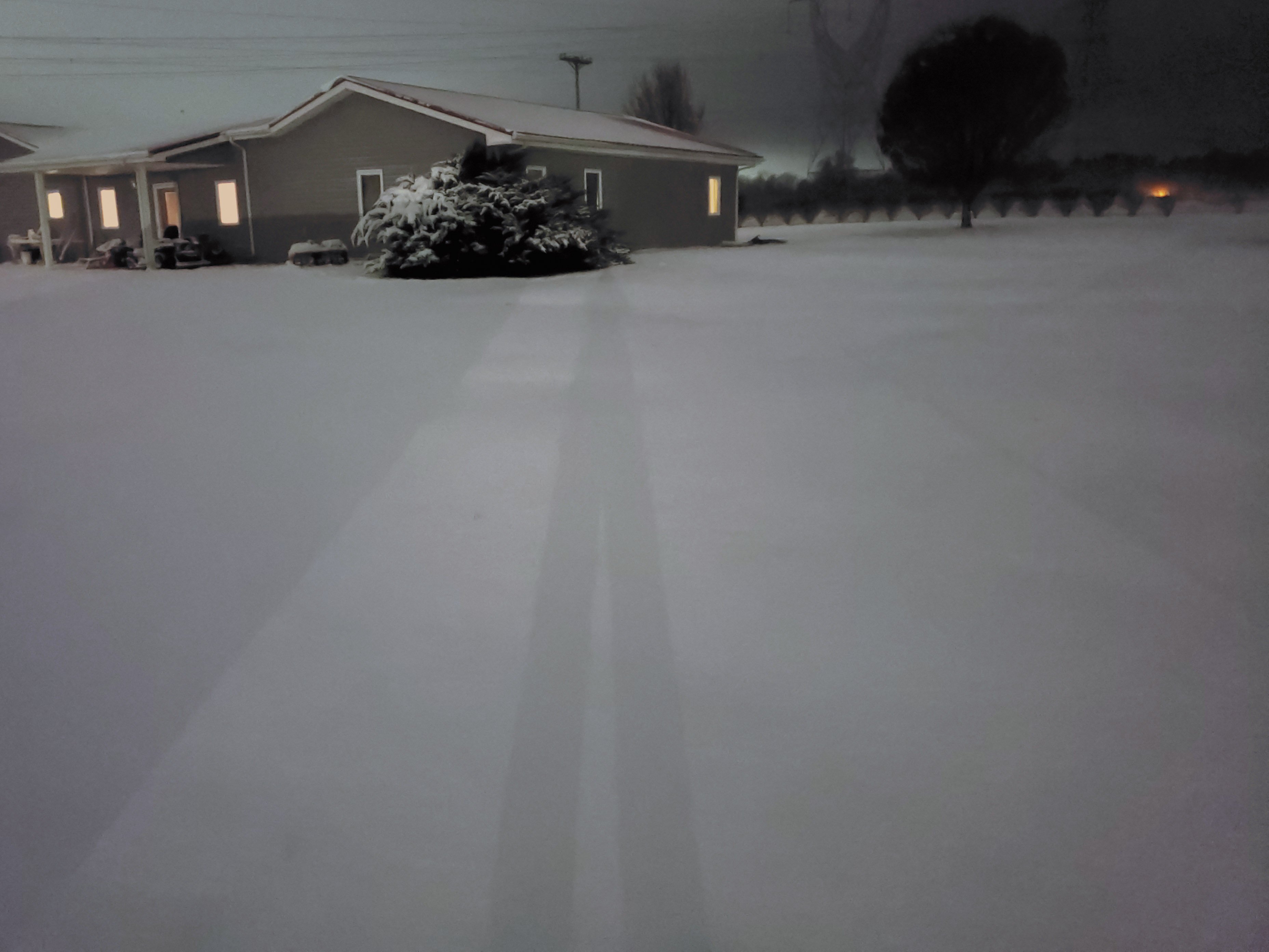
Heavier snow since I posted that picture 20 minutes ago so it's adding up pretty quickly
-
Whatever model(s) seemed to show decent accumulation in southern middle Tennessee seems to be the winner so far. Seems like a swath from Columbia eastward got accumulation
-
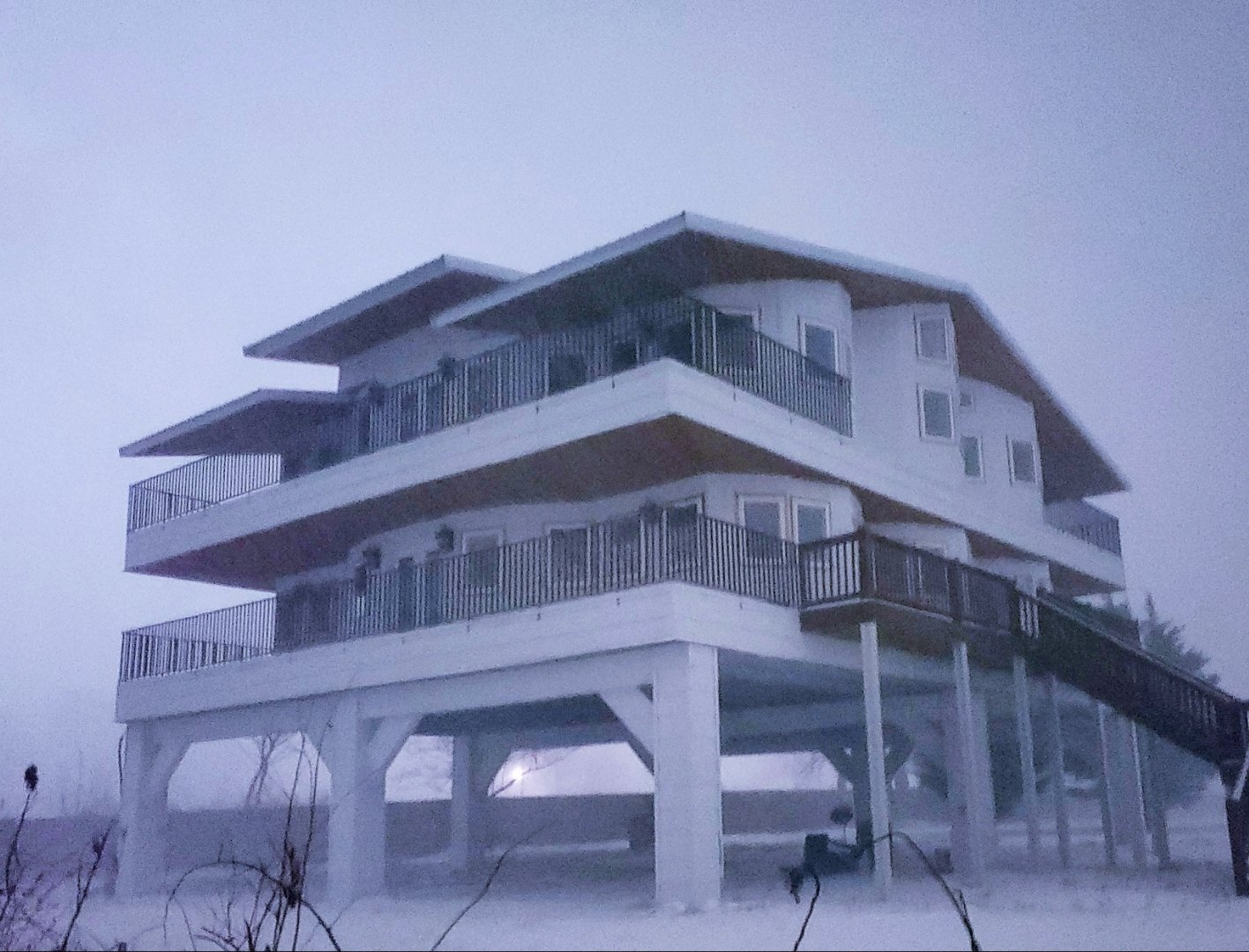
31 at my house between Monterey and Crossville. Still seems to be coming down pretty good. I wasn't expecting it to snow this much already so hopefully it'll keep up as it moves east. Temperatures are supposed to stay hovering around freezing all night but hopefully it won't melt much.
-
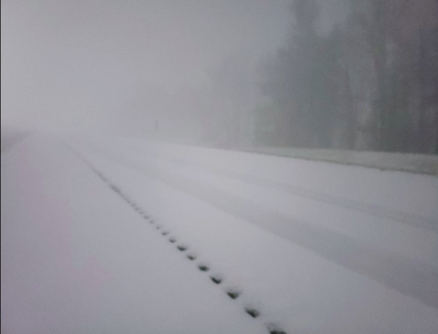
Heavy snow and big flakes between Crossville and Monterey here. Turning white quickly. TWC showed a cold rain for us for the first few hours but it has been all snow so I figure it should stay that way.
-
Mustve had some heavy virga over me earlier
-
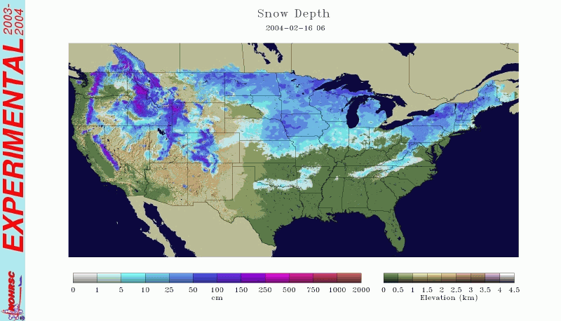
Good article about this event here: https://www.weather.gov/hun/hunsur_2004-02-15 I have a good story about that event. I lived just across the border in McCreary County, KY at the time (north of Oneida) and they called for 8-12 inches of snow starting that night. We were going to church south of Oneida that night (it hadn't started snowing yet) and were seeing cars coming northbound with snow plastered on their front bumpers like they had ran into heavy snow recently, but yet it was completely dry for us. We finally got to the road the church was on and snow just started pouring down harder than I've ever seen. We had to turn around and on the way out several cars were already in the ditch. By the time we got back home just 20min away it was still completely dry. It never snowed a flake that night at our house despite the 8-12 inches that was forecast. Later on the news we saw where random parts of Morgan County and Crossville area received up to a foot of snow, while we were bone dry. Here's a picture of the snow depth on that day so you can see how finicky the system was.
-
Christmas Eve/Christmas 2020 Arctic Express Snow Obs.
Shocker0 replied to John1122's topic in Tennessee Valley
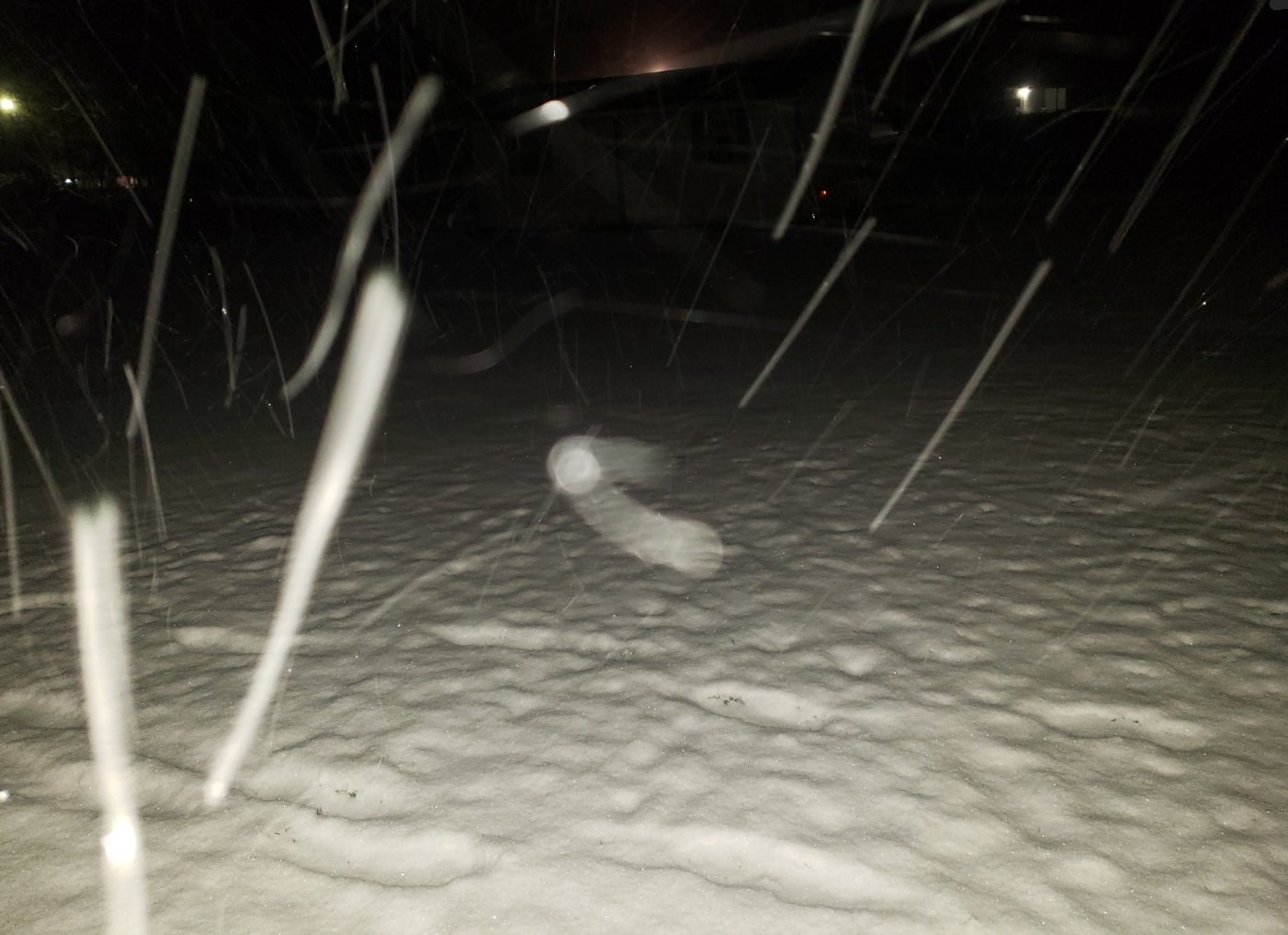
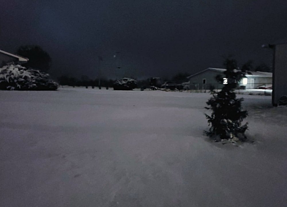
Took this picture when it was snowing hard in Crossville around 1030 or so
-
Christmas Eve/Christmas 2020 Arctic Express Snow Obs.
Shocker0 replied to John1122's topic in Tennessee Valley
Yeah there is a constant hole any time it snows over my house lol. You have to look outside to see it and I don't have a street light so it's hard to tell sometimes. -
Christmas Eve/Christmas 2020 Arctic Express Snow Obs.
Shocker0 replied to John1122's topic in Tennessee Valley
Exit 311 NW of Crossville just now during a heavy snow band. This is I40. Two of these bands went through in the last couple hours taking from a very light dusting to this: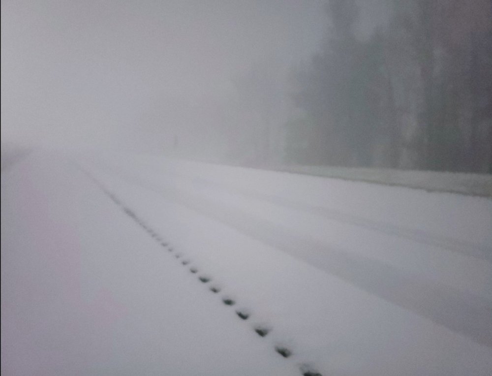
- 409 replies
-
- 11
-

-
Christmas Eve/Christmas 2020 Arctic Express Snow Obs.
Shocker0 replied to John1122's topic in Tennessee Valley
Same! It looks like it has reached downtown now as well -
Christmas Eve/Christmas 2020 Arctic Express Snow Obs.
Shocker0 replied to John1122's topic in Tennessee Valley
In Crossville I guess we've gotten lucky with the "streamers" because we went from essentially nothing (light dusting) to over an inch in the last 30 minutes and it looks like we have another good band about to come through in a few minutes. It's turning out not to be too bad of an event here after looking bad all day. -
Christmas Eve/Christmas 2020 Arctic Express Snow Obs.
Shocker0 replied to John1122's topic in Tennessee Valley
That's wild lol. Highly unlikely I would say but big flakes coming down right now. At least it will look "white" tomorrow morning. Maybe we will get lucky with the bullseye though -
Christmas Eve/Christmas 2020 Arctic Express Snow Obs.
Shocker0 replied to John1122's topic in Tennessee Valley
It hadn't hardly snowed at all here today but definitely is now even though the radar isn't picking up on it. We are gonna get a little accumulation from it at least. Not sure if it will move east or just fizzle out but better than nothing here. -
Christmas Eve/Christmas 2020 Arctic Express Snow Obs.
Shocker0 replied to John1122's topic in Tennessee Valley
-
Christmas Eve/Christmas 2020 Arctic Express Snow Obs.
Shocker0 replied to John1122's topic in Tennessee Valley
25 in Crossville. Surprisingly is snowing decently now but think we are too far west to get much. -
Christmas Eve/Christmas 2020 Arctic Express Snow Obs.
Shocker0 replied to John1122's topic in Tennessee Valley
29 where I live NW of Crossville. Radar doesn't look good and TWC shows no snow here for today now. I doubt we see any flakes where I'm at. -
Dandridge Dollop 12/24/20 Storm Thread (Winter Wonderland)
Shocker0 replied to AMZ8990's topic in Tennessee Valley
System looks to already be out of Crossville (hours earlier than expected) with temperatures still in the 40s. Looks like we will be lucky to even get a flale here. -
Oak Moon Upslope/ Upper Low Storm Obs
Shocker0 replied to Holston_River_Rambler's topic in Tennessee Valley
It's mainly stopped here now but is very pretty! Really nice snow for the end of November, don't see much of those anymore.
- 300 replies
-
- 9
-
-
- upslope snow
- upper level disturbance
- (and 3 more)
-
Oak Moon Upslope/ Upper Low Storm Obs
Shocker0 replied to Holston_River_Rambler's topic in Tennessee Valley
I think I'm right down the road from you and I'm at 27 so I'd say it's right. And it feels about like 5 degrees with how hard the wind is blowing lol. -
Oak Moon Upslope/ Upper Low Storm Obs
Shocker0 replied to Holston_River_Rambler's topic in Tennessee Valley
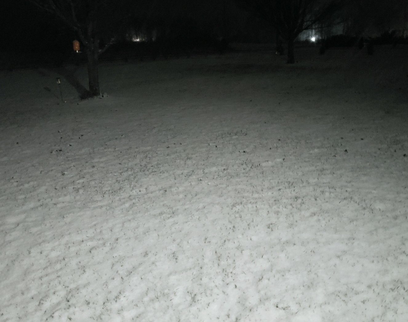
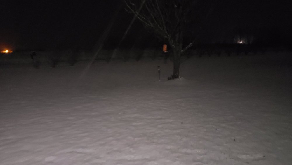
Really starting to add up now that the sun is down NW of Crossville. Can't see but can feel that it's snowing pretty heavy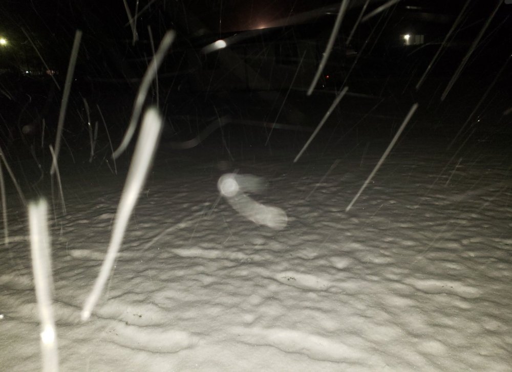
- 300 replies
-
- 6
-
-
- upslope snow
- upper level disturbance
- (and 3 more)
-
Oak Moon Upslope/ Upper Low Storm Obs
Shocker0 replied to Holston_River_Rambler's topic in Tennessee Valley
They were in Virtual School here and I made a joke to my daughter that they would be canceling school tomorrow and she said "I know, they already called it off at noon today" LOL. I thought she was joking too but apparently they even cancel Virtual School when it snows.- 300 replies
-
- 3
-
-

-
- upslope snow
- upper level disturbance
- (and 3 more)
-
Oak Moon Upslope/ Upper Low Storm Obs
Shocker0 replied to Holston_River_Rambler's topic in Tennessee Valley
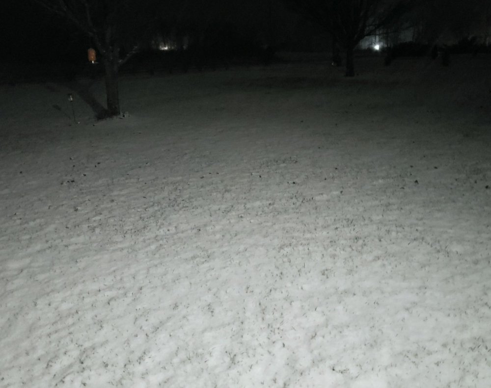
We are at 28 degrees and mannnnn it's freezing cold and windy. Snowing harder than it has all day currently.- 300 replies
-
- 2
-
-
- upslope snow
- upper level disturbance
- (and 3 more)
-
Oak Moon Upslope/ Upper Low Storm Obs
Shocker0 replied to Holston_River_Rambler's topic in Tennessee Valley
Yeah I saw a picture from Jamestown and it looked the same as here. But on radar I see a lot of supposed bare spots. I've noticed in bigger snow events (not Alberta Clippers or NW flow events) sometimes it will pick it up a lot better, but in these it definitely looks harder around Nashville to Cookeville on radar. -
Oak Moon Upslope/ Upper Low Storm Obs
Shocker0 replied to Holston_River_Rambler's topic in Tennessee Valley
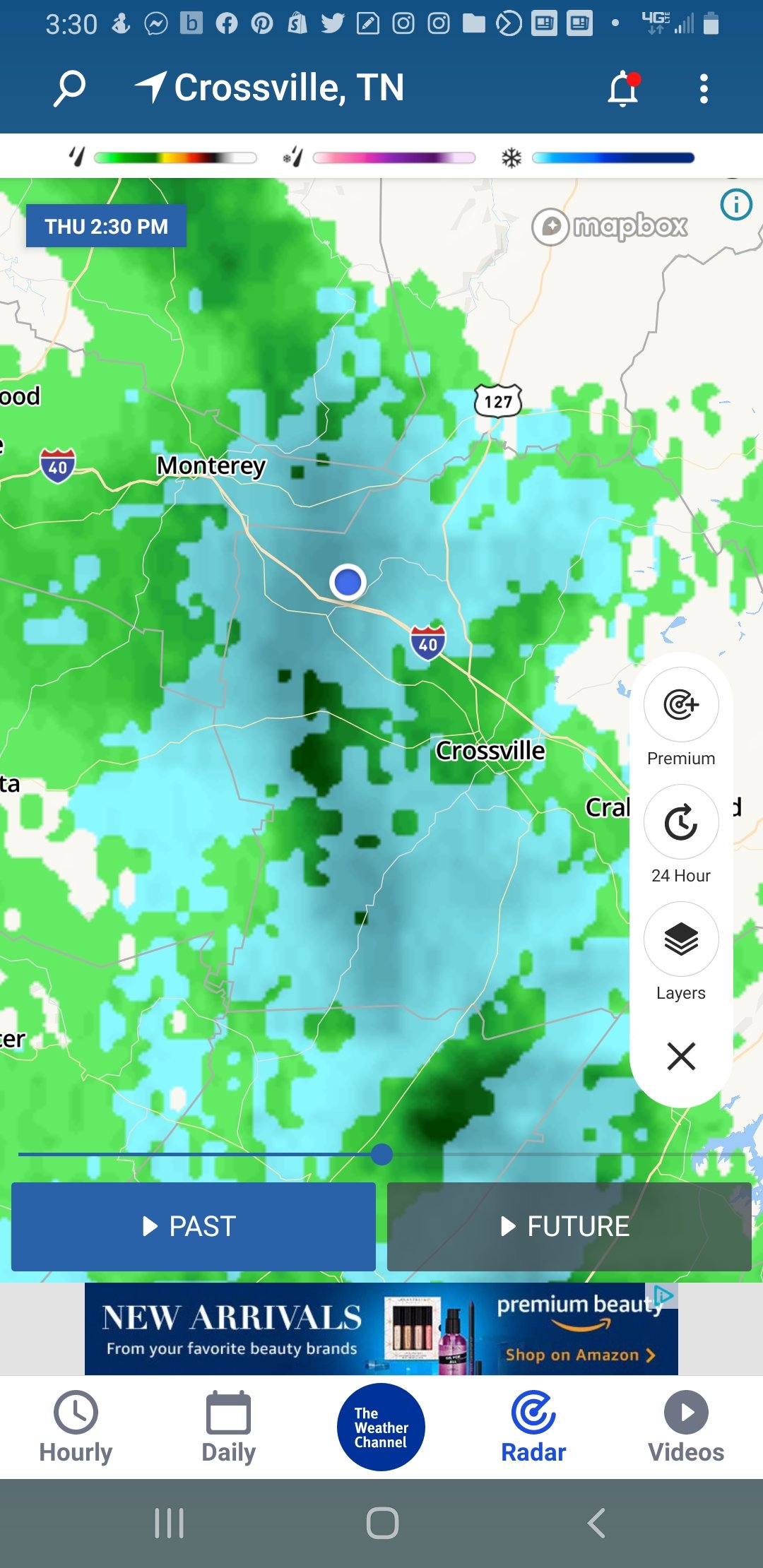
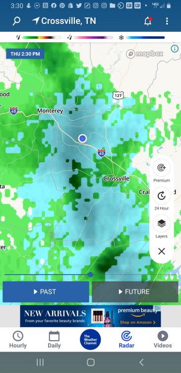
The radar where I live always shows this in these type of events no matter how hard it's snowing here. I believe it's where we are in between the Nashville and Morristown radar so the signal is weaker. It's actually coming down pretty heavy compared to the emptiness of the radar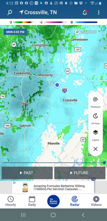
- 300 replies
-
- 1
-
-
- upslope snow
- upper level disturbance
- (and 3 more)
-
Oak Moon Upslope/ Upper Low Storm Obs
Shocker0 replied to Holston_River_Rambler's topic in Tennessee Valley
It hasn't stuck to the trees at my house maybe due to the wind, but it's 29 degrees and starting to fill in nicely as it gets darker. Hopefully we can get three more hours of it. Edit: apparently I'm not good at planting trees either.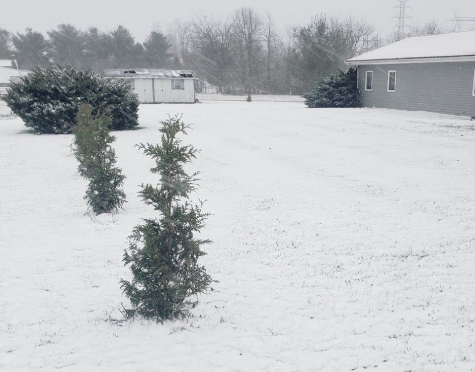
- 300 replies
-
- 3
-
-
-
- upslope snow
- upper level disturbance
- (and 3 more)