Shocker0
-
Posts
607 -
Joined
-
Last visited
Content Type
Profiles
Blogs
Forums
American Weather
Media Demo
Store
Gallery
Everything posted by Shocker0
-
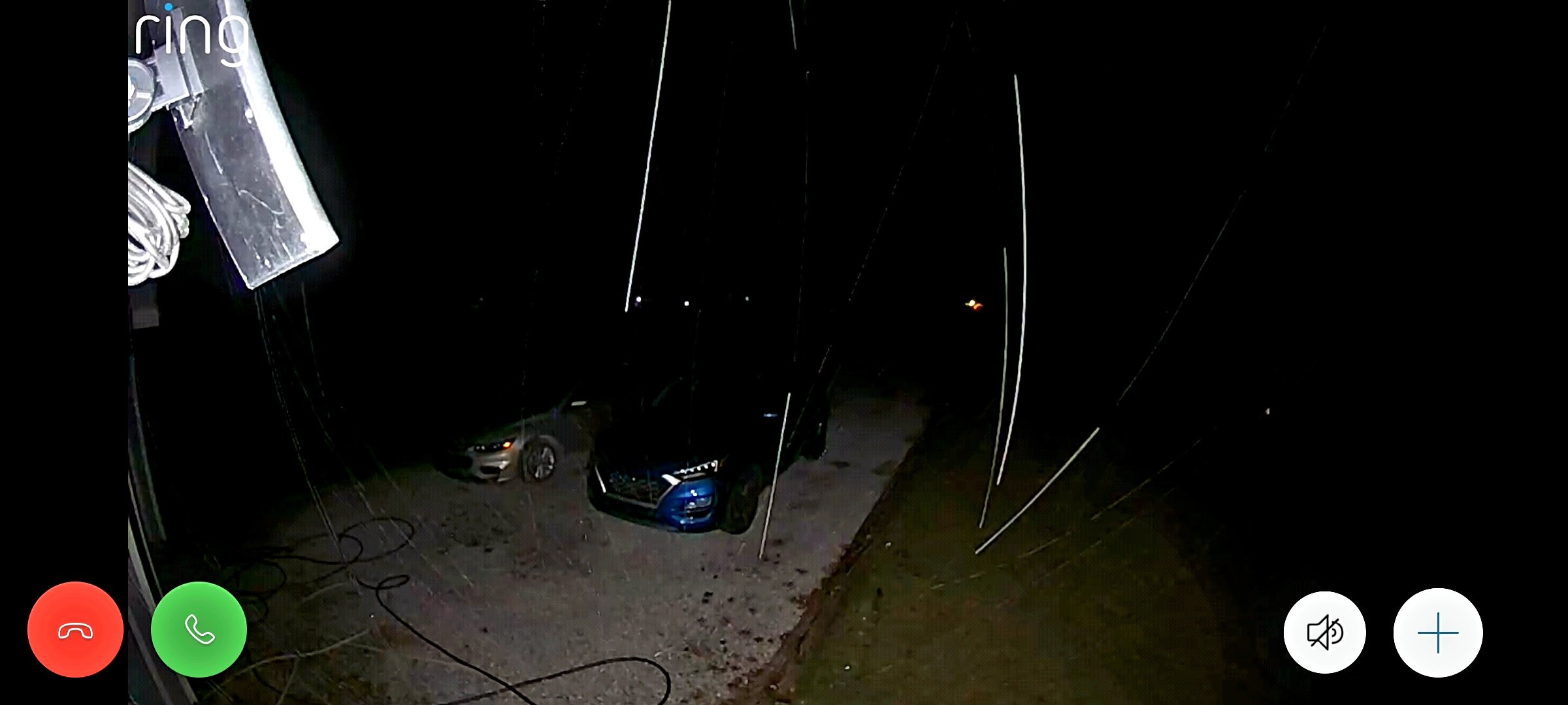
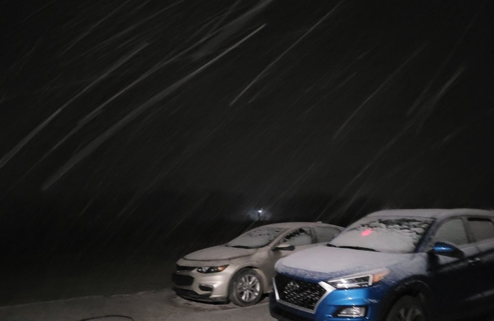
My security camera has called it a night already
-
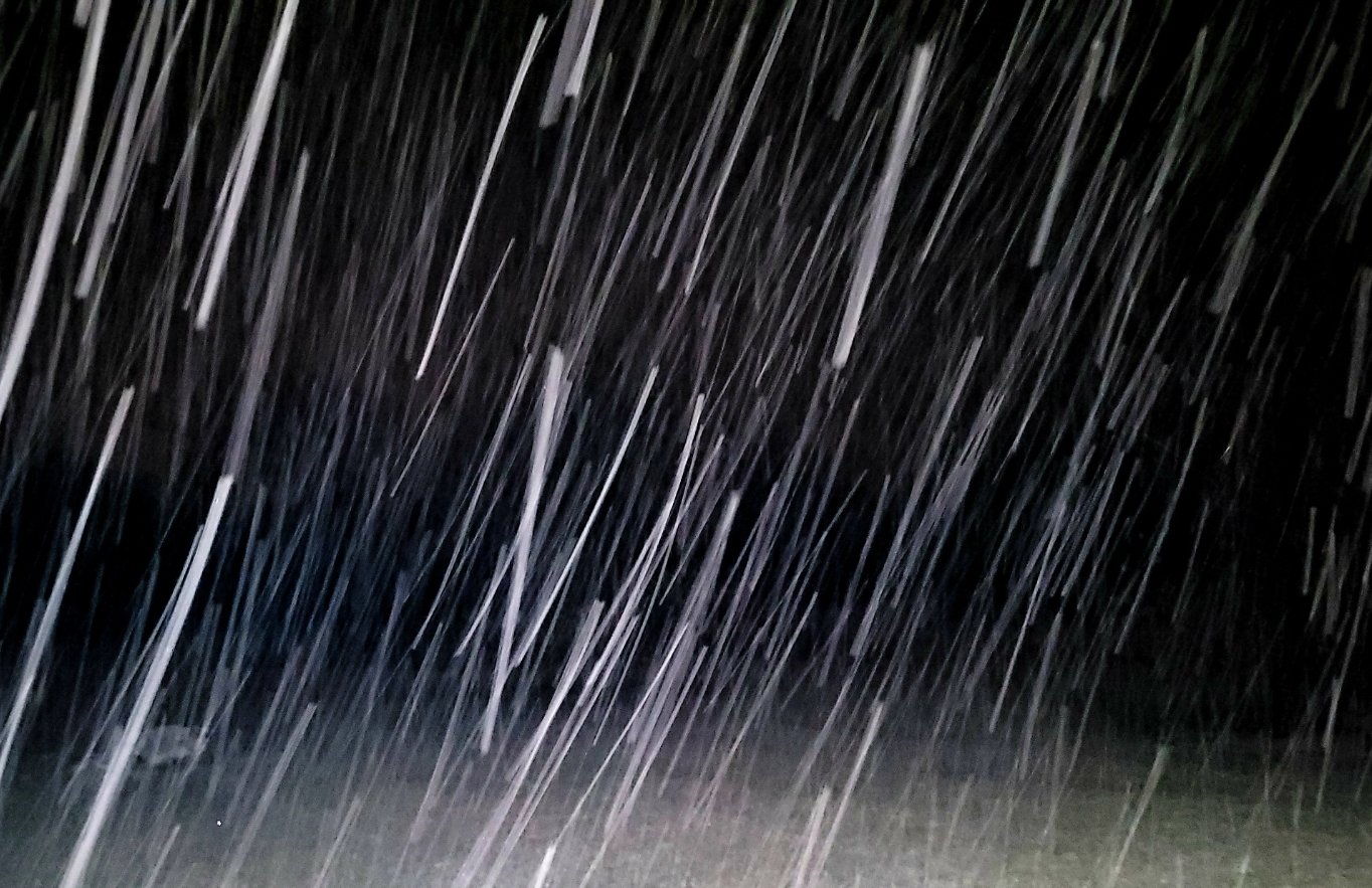
I don't have a street light unfortunately but from what I can tell the flakes aren't super big really. It's snowing pretty good though and temp has dropped 3 degrees in the last half hour

-
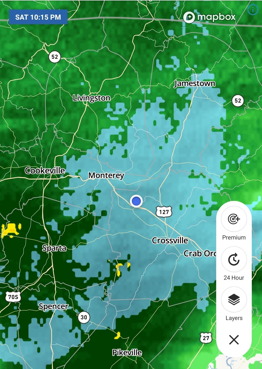
Yes, my house is at 1980'. Crossville in town is about 1850' and I believe Monterey is the same.
-

-
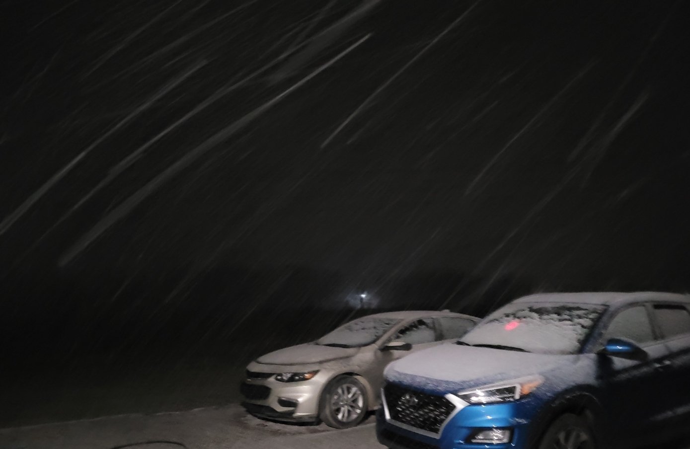
I guess it's all snow here but it was pelting my jacket almost like sleet or rain. I guess just from where it's such a wet snow. It's definitely coming down good though
-
Just starting here NW of Crossville

-
Reed Timmer was live in heavy dynamic cooling snow in Travelers Rest, SC on FB. Was coming down hard and unexpected.
-
Wonder what TWC is seeing to keep slashing totals? All the models still seem to be pretty consistent with amounts.
-
TWC has backed off some on the totals here for some reason. Monterey now says 1-3" while here suggests the low end of 3-5". It had been up to 5-8" briefly a couple hours ago. Seems to think more rain will mix in.
-
TWC just upped us to 5-8" for tonight. NWS says 1-3"
-
Seems like every model posted in here is showing around 6-9" for Cumberland County but NWS says 1-2" in the advisory. Should be interesting one way or the other.
-
Yeah it is crazy. Eventually it's gonna be pushed back so far that the "cold" will finally arrive in June when it's way too late.
-
OHX is insistent at only 1-2" here despite almost all models hinting anywhere from 3-7"
-
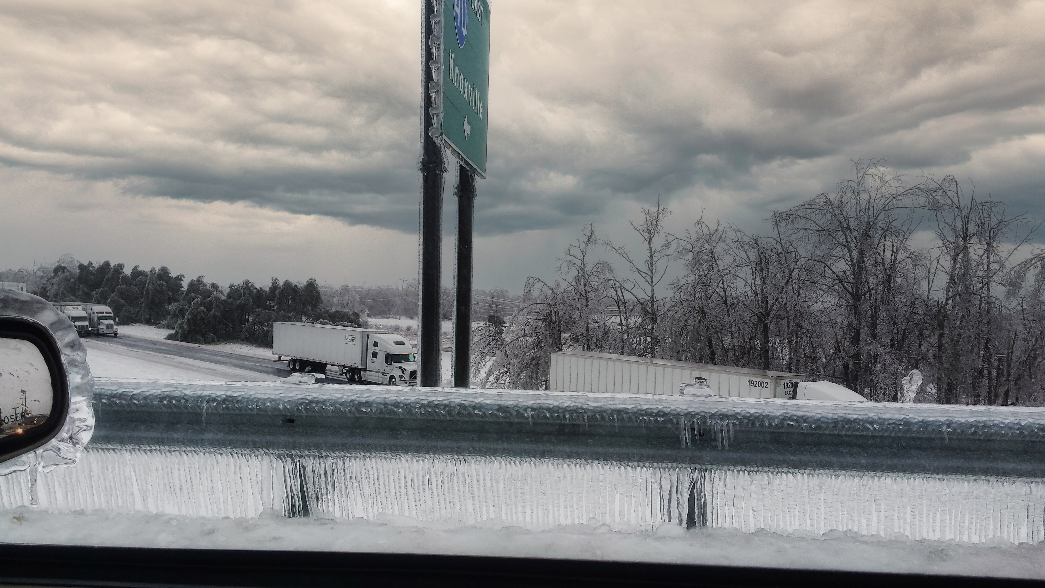
We had about 2 inches of ice here in that one :/. It was actually our second ice storm of the week in Crossville and I thought the first one was bad until this one hit.

-
Is Crossville/Monterey still looking de ent for this system? Seems like the models show good accums for us but at the same time it looked like we were on the far western edge earlier
-
Pics/Videos/Stories from past weather systems in the region
Shocker0 replied to Shocker0's topic in Tennessee Valley
Nice pics. I don't remember the 2018 one in Crossville (we might not have gotten very much from it). We did get a decent snow on Feb 7 of last year though (one of only like three times last year). Hopefully you guys will get something notable before this winter ends. -
Wow, in less than two days our projected temps on Monday went from 22/5 to 46/28 here.
-
Pics/Videos/Stories from past weather systems in the region
Shocker0 replied to Shocker0's topic in Tennessee Valley
Saw this pic on FB. This was one of the December 2010 storms NW of Crossville. I lived near the Fentress County/Morgan line at the time and we didn't get near this much.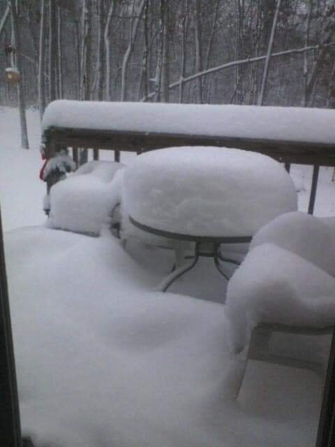
-
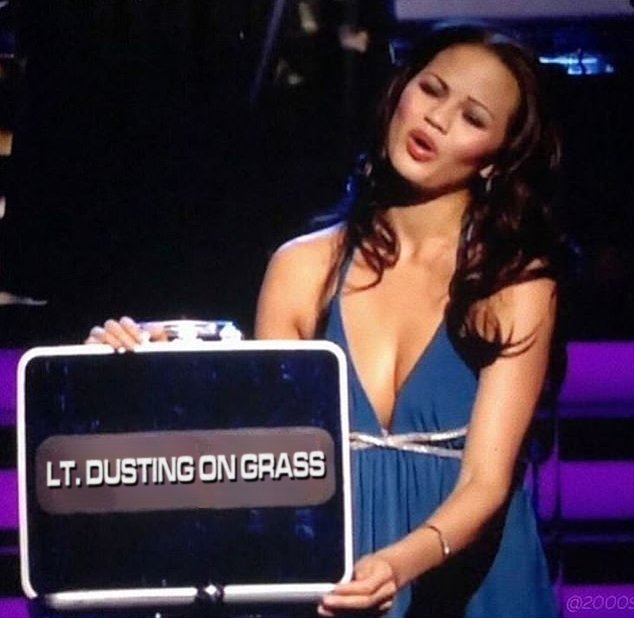
"Shocker, you turned down Mother Nature's generous offer of 8" of snow to risk it all and now you're down to your final case. Jennifer, please open the briefcase to see how much snow he has won"
-
East TN, SWVA, E KY, and Plateau NW flow obs. Feb 1 - 2
Shocker0 replied to Holston_River_Rambler's topic in Tennessee Valley
Yeah I'm not very optimistic either. It hasn't snowed much at all here since last night. What little it has snowed the flakes have been almost microscopic lol. -
East TN, SWVA, E KY, and Plateau NW flow obs. Feb 1 - 2
Shocker0 replied to Holston_River_Rambler's topic in Tennessee Valley
It seems like we have a little more snow than earlier but the flakes are so small they're almost invisible or mist. Like super small. Not sure if we're gonna get much more here but NWS says another 1-2" is possible.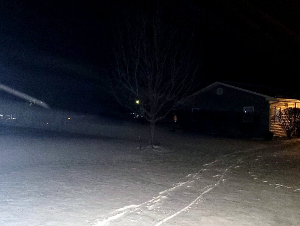
- 195 replies
-
- 3
-

-
- upslope
- may the flow be with you
- (and 1 more)
-
East TN, SWVA, E KY, and Plateau NW flow obs. Feb 1 - 2
Shocker0 replied to Holston_River_Rambler's topic in Tennessee Valley
If the flakes were any bigger here they'd almost be visible to the naked eye- 195 replies
-
- 3
-

-
- upslope
- may the flow be with you
- (and 1 more)
-
Well I mean I would wait to lock in until tomorrow or so to lock in when these totals have been cut in half lol. Power outtages suck.
-
Times like this i wish it was like Deal or No Deal where you smash the button to lock in the payout
-
East TN, SWVA, E KY, and Plateau NW flow obs. Feb 1 - 2
Shocker0 replied to Holston_River_Rambler's topic in Tennessee Valley
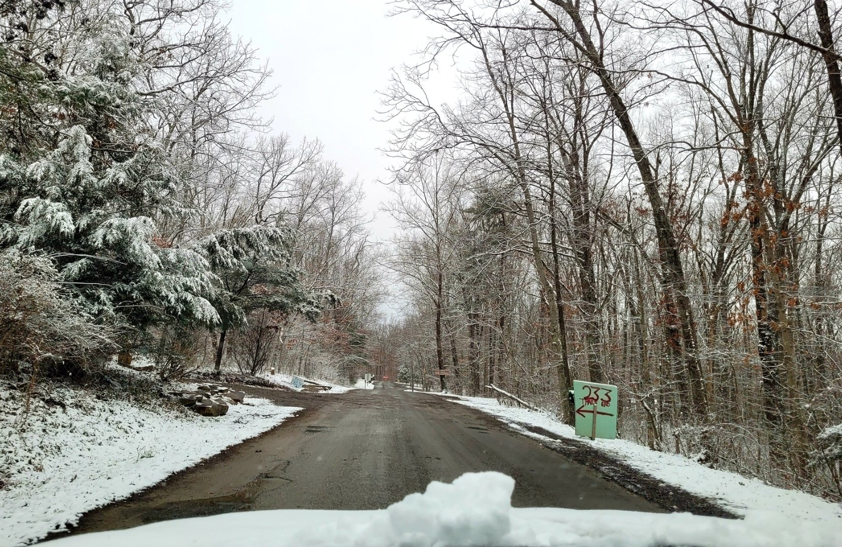
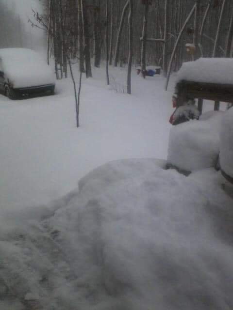
Not as much snow as the other events this year but my new favorite thing is taking pics at the campground by the house when it snows
- 195 replies
-
- 4
-
-
- upslope
- may the flow be with you
- (and 1 more)