OrdIowPitMsp
-
Posts
2,791 -
Joined
-
Last visited
Content Type
Profiles
Blogs
Forums
American Weather
Media Demo
Store
Gallery
Everything posted by OrdIowPitMsp
-
0.4” as of midnight, maybe a tenth more since then and another few tenths today. It’s been below freezing for several days here so the snow accumulated readily on every surface.
-
Mood flakes+ all afternoon have morphed into light snow. Roads are greased, ground is dusted. Solid little event to remind us what time of year it is.
-
Back from palm land. 75-80 everyday with dry desert air was a treat. Cold and dry greeted me back in Minneapolis. Ice starting to form on the lakes.
-

Winter 2023-24 Longrange Discussion
OrdIowPitMsp replied to michsnowfreak's topic in Lakes/Ohio Valley
There will be periods of sun, clouds and precipitation. Temperatures will range on both sides of freezing. -
You are correct, I was looking at yesterday’s data. Going to drop all the way down to 29 tonight.
-
Minneapolis has tied the record high for today of 69. It would be an awesome day outside if not for the 40mph winds.
-
Reading the last three pages of this thread is enough to know the extended looks Zzzzzzzzz. Every year I’ve lived in Minneapolis it seems the weather takes sharp turn right after Thanksgiving. This year looks the same.
-
Little bit of frost this morning. That’ll be the most excitement weather wise here all week. 60s will feel fantastic, I’ll take spring in November.
-
What do you do in the industry? I was a mudlogger/wellsite geologist from 2014-2017.
-
Continental drift, but there have been periods of Earth’s history where the poles are ice free.
-
“Cool” front moved through bringing very gusty NW winds this evening near 40mph. Tomorrow and Friday look seasonal to slightly cooler then average then the torch cranks up. 60s here next week. Since everyone has been talking about leaf drop, there’s a photo from Thanksgiving day 97’ or 98’ of my brother and I in a giant pile of freshly fallen leaves in Lake County Illinois. I believe sun angle and length of daylight dictates leaf drop a bit more then temperature. I know it’s gentle trolling but if the Great Lakes region could ever support palms we’d be looking at global crop failure and famine.
-
Fall 2023 Medium/Long Range Discussion
OrdIowPitMsp replied to Chicago Storm's topic in Lakes/Ohio Valley
Yes definitely, it will be warmer then home for sure. It would be nice to have west coast ridging and a central conus trough while I’m out there like last December. -
Fall 2023 Medium/Long Range Discussion
OrdIowPitMsp replied to Chicago Storm's topic in Lakes/Ohio Valley
Go figure I’ll be in Palm Springs CA from 11/18-11/24. Probably will be their first sub 70 high since last winter. -
Temp jumped from 41 to 43 in the last hour. Minneapolis is joining the heat wave.
-
47, overcast, breezy. November in Minneapolis.
-
Just an absurdly beautiful day here. Didn’t get much afternoon sun, but temps reached 57 which made all the yard work I was putting off somewhat enjoyable. KP is above 6 right now, would be great for leaving the metro and viewing the Aurora Borealis, except for those pesky clouds.
-
Most of the remaining snow was nuked today under full sun and upper 30s. Just a few patches hanging on that will be toast tomorrow. After a brief tease of winter, mid/upper 40s dominate for the next week. Typical early November stuff around here.
-
October 2023 in Minneapolis finished 2.6 degrees above average. 4.5” of precipitation, which is 1.92” above average. 2.7” of snow fell.
-
Trick or treating with my two year old son, snow on the ground, smiles in the air. Bliss
-
@hardypalmguyMr. Radar leads me to believe there is a beautiful coating of white on the palms. Care to share a photo?
-
The MSP airport is reporting 2.6” Overpreformer, and the first white Halloween in Minneapolis since 1991.
-
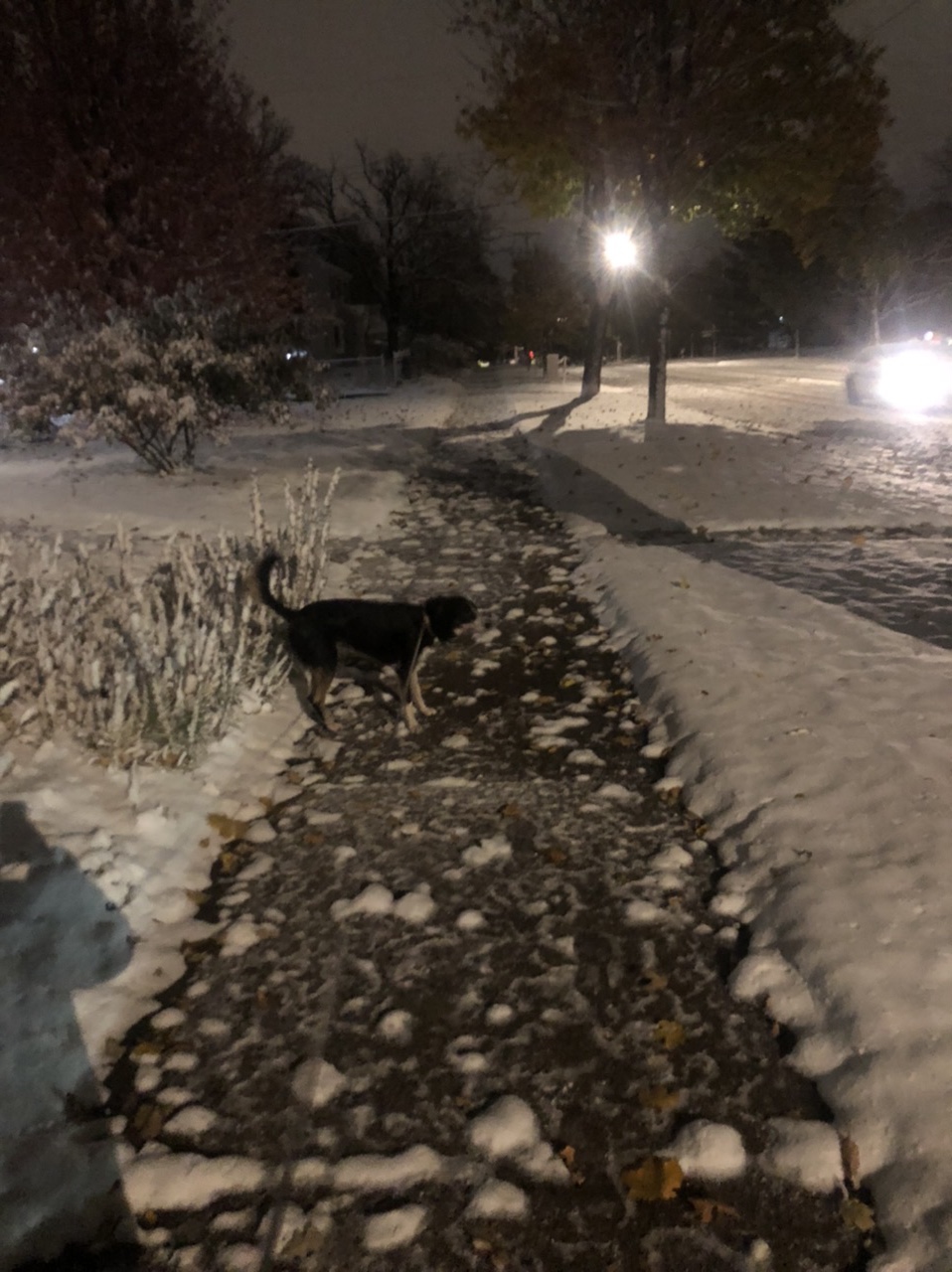
Ground covered. Road mostly covered. Total paste job. Looks like we got about an inch.

-
Snowing here, wind is whipping. (43mph gust) NWS is really hammering the message about brief snow squall conditions and snow covered roads for the morning commute. We’ll see how much sticks tomorrow morning.
-
First accumulating snowfall of the season potentially tomorrow evening. It doesn’t matter how much we get, the commute on Tuesday will be hellish if anything accumulates.
-
Flurries imby. Daytime high of 34 today.