OrdIowPitMsp
-
Posts
2,791 -
Joined
-
Last visited
Content Type
Profiles
Blogs
Forums
American Weather
Media Demo
Store
Gallery
Everything posted by OrdIowPitMsp
-
Crazy, how often are soils frost free in mid-December up that way? Models are trending drier here now, putting the heaviest axis of precip to my NW
-
It is looking like 0.50-0.75” of very cold rain Friday night/Saturday. Might cause minor flooding with the ground being frozen. The Euro and Canadian models are trying to switch things over to snow here and potentially get interesting with accumulations, but my gut says it’ll be white rain at best. Duluth and areas just south will get snow and maybe salvage a white Christmas?
-
Should push 50 in Minneapolis today. Record high for the date is 55 from 1998, we have an outside chance of hitting it. I was just a kid in Chicagoland on 12/14/1998 with no idea what I was in store for a little over two weeks later.
-
Overachiever day up to 43 on the official thermometer. Still lots of patches of snow hanging around, they should be gone by Friday.
-
I was wondering if there is even enough ice to safety set up an ice-house yet? I saw a few people out on the lake near my house last evening. I wouldn’t trust the ice in the metro anytime soon.
-
Nothing unprecedented about this upcoming warm stretch, just unusual. What a change year to year though
-

Winter 2023/24 Medium/Long Range Discussion
OrdIowPitMsp replied to Chicago Storm's topic in Lakes/Ohio Valley
This is the correct strategy. -
0.4” of snowfall yesterday. Season total at 4.5”
-
Glad they aren’t succumbing to the cold. Did you have anything outside during the January 2019 cold snap? Wasn’t that the last deep cold in Milwaukee? For me this time of year I’d define “palm tree weather” as days within 3 degrees of a record high.
-
You’ve really lowered the bar if that’s considered palm tree weather.
-
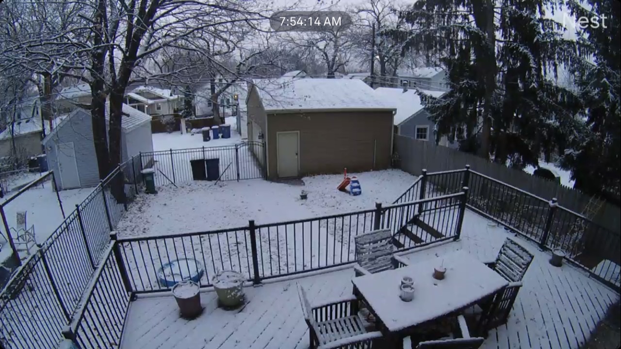
White rain most of today but the snow started sticking around 3pm and everything is pasted in white (briefly) again.
-
Made it to 48 yesterday so missed the record by a few degrees. Mood flakes and a slushy coating today.
-
Storm thread deserves an expected snowfall map.
-
Winter '23-'24 Piss and Moan/Banter Thread
OrdIowPitMsp replied to IWXwx's topic in Lakes/Ohio Valley
This was a great storm. I was living in Iowa City and a student at the U at the time. Classic blizzard conditions and 12-14” of accumulation. We went sledding using cafeteria trays. -
51 for the high today, so we fell short of the record of 54.
-
Talk about a nothing burger. Looks like Minneapolis is in play for some light snow Saturday.
-
Winter '23-'24 Piss and Moan/Banter Thread
OrdIowPitMsp replied to IWXwx's topic in Lakes/Ohio Valley
I was an Accuweather poster for many years, starting around 2007 I think. Not sure how I found my way over here but glad I did. -
0.9” at the airport. Scene won’t last but it’s nice to have a wintry look outside.

-
Quality paste job here overnight. Airport was reporting 0.6” as of midnight.
-
Wasn’t expecting anything but the light snow this evening has accumulated readily, with a solid dusting so far. 0.5” incoming, 2nd best event of the season.
-
Very foggy this AM with occasional flurries/light snow. Looks like a nice mild boring work week weather-wise here.
-
Northern Lights were out in force last night. You could even see them in the city which is rare. just a few patches of snow hanging around in the backyard. Going skiing today, thank you modern snowmaking.
-
Down to 8 in Minneapolis. I haven’t checked but I’m sure there are some nearby rural sites that went below zero.
-
Drove down to Charles City IA, as an expensive currier for my company today. Was surprised at the amount of snow otg in northern iowa compared to central/southern MN.
-
Down to 12 in Minneapolis. Coldest morning of the season.