

CheeselandSkies
-
Posts
3,243 -
Joined
-
Last visited
Content Type
Profiles
Blogs
Forums
American Weather
Media Demo
Store
Gallery
Posts posted by CheeselandSkies
-
-
Might I remind everyone that @ldub23 gave us possibly the worst-aging post in the history of weather forums on August 19, 2017:
QuoteWasnt much of a burst and Harvey dissipated as i expected. Looks like thru mid sept at least it will be rather quiet.
-
 4
4
-
 1
1
-
 1
1
-
-
It seems these high-end derechos are quite difficult to forecast ahead of time. The truly remarkable ones like this often come out of nowhere. Yet when it seems conditions will be very supportive of one, with several days of high outlook probabilities and apocalyptic wording (sometimes culminating in a 60% hatched high risk for wind), the resulting event seldom if ever seems to live up to the potential.
-
3
-
 1
1
-
-
Got windy in Green County, WI but nothing like what was seen in Iowa/parts of N. IL. I rode out the storm west of Monticello (the first tornado warning was headed right for me when it went out, but rotation dissipated before it got to me). These are from near Monroe.


-
3
-
-
30 minutes ago, Stebo said:
Absolutely terrible job especially in light of an ongoing MCS at the time and mesoscale models showing the potential for a derecho well north of the slight. But then again look at who did the outlook for why it was so terrible.
I don't know enough about Darrow/Squitieri to be familiar with their biases. Broyles would have nailed it, but he enhanced/moderates anything that any of the CAMs lights up.
-
Man, this is the kind of thing where I'm like "where the heck are these from May through July?" then here's one on what started out as a marginal risk day in August.
-
1
-
1
-
-
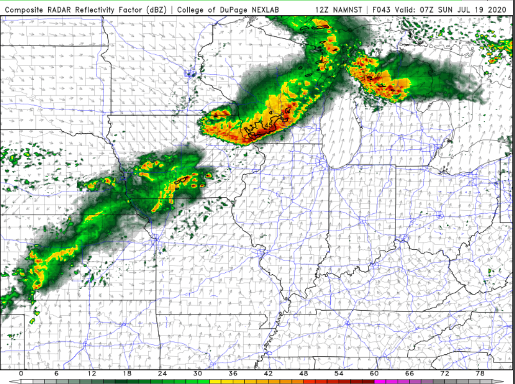
Don't believe I've been in a PDS SVR watch that mentioned the possibility of 100 MPH gusts before. Although, extrapolating radar the action will miss Madison to the south, unless the northern edge of the MCS expands significantly. Not sure what to make of the convective cells moving NW-SE over northeast Iowa, while an E-W oriented band appears to be filling in and moving NORTH around Waterloo. That's going to crash into the SE moving cluster south of Decorah at some point, not sure what the resulting evolution and motion will be.
-
Some areas of northern IL/far southern WI have jumped from a Marginal risk at 06Z to a Moderate risk at 1630Z.
-
Go tell that to the nurses at any of the swamped ICUs in NY, FL, TX or AZ.
-
Nice ominous shelfie yesterday although the storms were sub-severe, it was kinda gusty.

-
3
-
-
Really surprising how little discussion there is on a rare potential hurricane (as opposed to a shredded apart TS like Lane or Olivia) impact on Hawaii.
-
Walaka 2018 took a "right hook" track similar to Iniki, but was already too far west to hit the islands.
-
1
-
-
Getting a little tired of these heat "ripples" always coming on weekends. My fiancee and I were hoping to drive to Kenosha this weekend to do a socially distant/outdoors visit with her mother. Not thrilled with the idea of doing that in 90 degrees. Conditions like yesterday or today would have been perfect, but we all have to work.
-
1
-
-
Maybe it doesn't help that I only have my two all-black work-provided ones (and a limited supply of surgical masks at home). I've got my first custom one on order.
-
1 hour ago, A-L-E-K said:
wearing a mask is cool and fun
I don't know if I'd go that far. I'll stick with "Annoying, but necessary for the time being."
-
Interesting there are still those little patches of southwest-central Iowa and northeastern Minnesota in up to D2 (severe drought).
-
3 hours ago, madwx said:
I'm ready for the 2 straight hours of strobe like lightning

Bring it. If that timing is right, I'll be going to work in the trailing stratiform precip region, which if any luck will have some lightning I can catch on-air with our skycams.
-
Just now, madwx said:
Saturday night is gonna be a dead on hit. Like the Summer nighttime MCS of yore.
We shall see...
-
Miss north FTL. Just get to bake tomorrow and Sunday.
-
Nice storm about to roll in from the northwest. CAMs I looked at earlier today didn't really show Madison getting much of anything, so that's nice although the severe threat kind of went pfffft.
-
MKX with this nugget in the HWO...
.DAYS TWO THROUGH SEVEN...Friday through Wednesday

There is a small chance for thunderstorms on Friday, and again
Saturday night and Sunday. Thunderstorm chances return next
Tuesday and Wednesday.

.SPOTTER INFORMATION STATEMENT...

Spotter activation may be needed this afternoon and evening and
again next Wednesday.
Highly unusual for them to imply possible spotter activation nearly a week out, especially in a nondescript, low-predictability summer ridge pattern like the one we're in. The GFS does show some actual deep-layer shear getting into the region mid-next week for a change. Or, it's possible somebody was just bored.
-
Storms dropped us down to 70.
-
2
-
-
5 hours ago, Chicago Storm said:
It should. Though best could be a bit north, across WI and far N IL.
.Yep. Nice boomer about to roll in.
-
4 hours ago, wisconsinwx said:
Some unexpected cells popped up just to the north of Milwaukee, and are now bringing us bonus rain on a day where prior to the morning update, had less than a 20% chance of anything popping up. A deluge in spots.
One washed out a railroad bridge near Oostburg and derailed a coal train bound for Sheboygan.
-
16 minutes ago, Powerball said:
Indications suggest this time may be different.
The long range pattern isn't looking too dissimilar from 1995 and 2012.
1995
 , 2012
  .
.
I was only 9 in 1995 but remember it being a very stormy summer. 2012 OTH was unrelenting hot and maddeningly quiet.
1995 also had a very busy spring tornado season leading into the summer heatwave (including the early June Texas Panhandle outbreaks). Which as we know this year has not featured.


August 10 Severe Weather
in Lakes/Ohio Valley
Posted
Some of those pictures posted by @hlcater resemble major hurricane damage (such as Panama City after Michael).