klw
-
Posts
4,993 -
Joined
-
Last visited
Content Type
Profiles
Blogs
Forums
American Weather
Media Demo
Store
Gallery
Everything posted by klw
-
We got an inch as well. Just enough to freshen the look of things.
-
I had the "joy" of driving through that. There was an incredibly heavy batch between Waterbury Center and 89 and then very heavy on 89 from Waterbury to between Middlesex and Montpelier. Multiple cars off of 89. There was a mercifully short stretch on 100 where I could not make out the tracks made by a pickup which was less than 100 yards ahead of me.
-
Here you go: Locked! Big big winter incoming! Lollies! Makes its own cold! Blizzardcane!
-
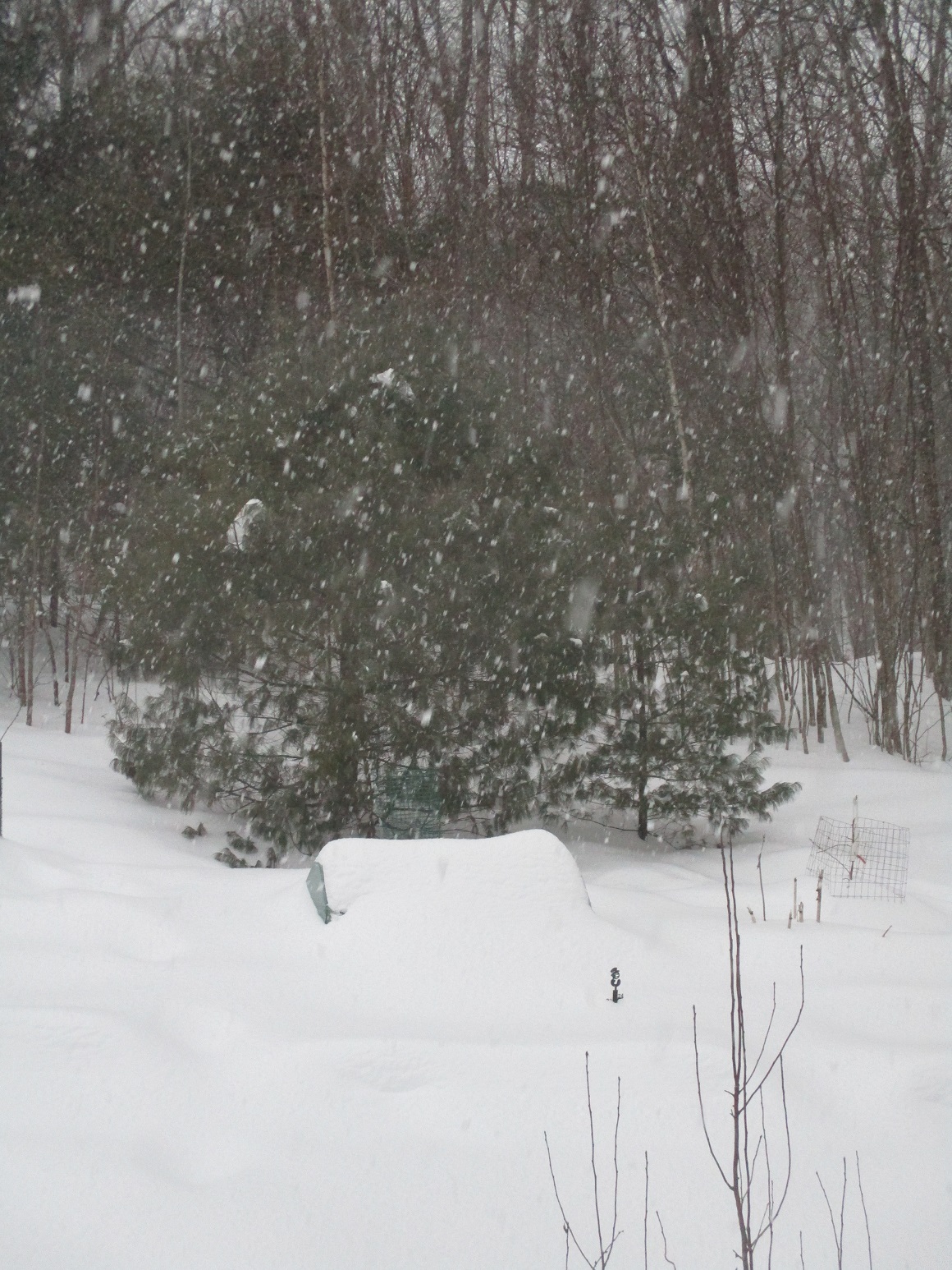
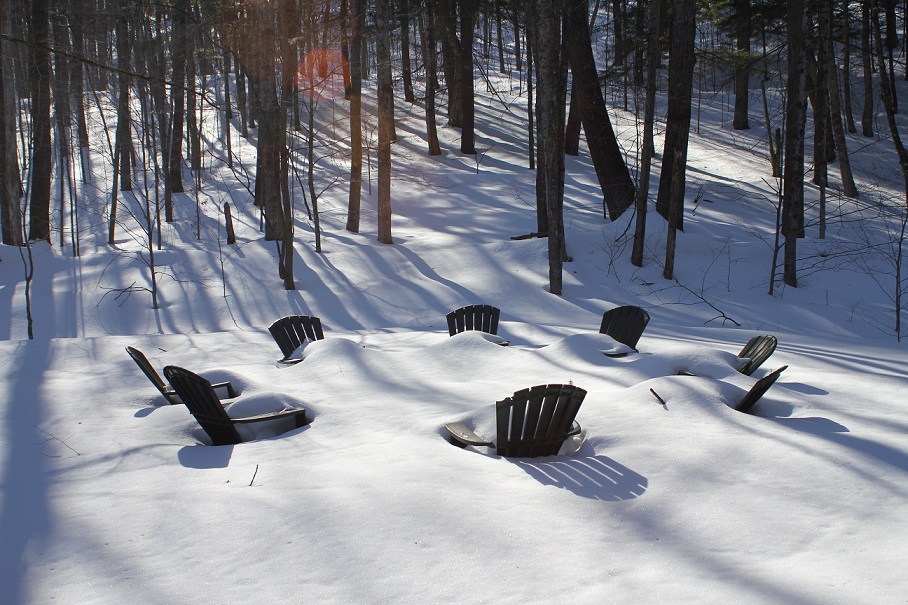
Won't be sitting around the firepit soon
-
I remember a night in 97 after there had been a wide tornado outbreak in the Midwest and we had thunderstorms forecast. You so often hear tornado survivors describing hearing a roar like a freight train preceding the impact. I was watching tv that night and heard that roar. I remember thinking "Oh crap a tornado does sound like a train" For the last 28 years it amazes me that for even just the two seconds it took me to remember, that I had forgotten that my apartment was 25 yards from an active train line.
-
That shouldn't stop them. Dinner Pancakes FTW!
-
With placemats like those, I like the odds that that restaurant serves pancakes
-
Back to snow here after a couple of hour long, heat exhaustion causing jump into the mid-40s
-
1.2" overnight to start March off right, over 80" on the season now Big big winter incoming!
-
We ended up with 4 inches here at the house.
-
Flakes the size of bunnies here in Hyde Park!
-
Hey Dendy, Dryslot we have 1/2" so far. The flakes are on the small side but it is still coming down at a good clip. I just heard a plow go by on the road. Safe travels today.
-
How much have you gotten so far this season?
-
8.4 was the storm total here. Depth is above two feet but would need to go find an undisturbed spot the dogs haven't trampled at some point to be sure.
-
I open the photo in Paint and resize to 30%. That usually does the trick
-
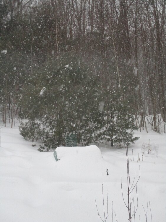
All flakes now. Will my snow stake be all covered by am? Just now is the above with yesterday afternoon below.
-
Thee flake hath returneth!
-
Are you able to tell how close it is to me now? I am just E of the N at the end of Royalton.
-
https://media1.giphy.com/media/v1.Y2lkPTc5MGI3NjExbHVtZGsxdzlreTF4OHEyMDhlb2xvd2VpcTZwdGNnYXFjbHVnem16ciZlcD12MV9pbnRlcm5hbF9naWZfYnlfaWQmY3Q9Zw/VVqnb89ViiDHftKA2z/giphy.gif
-
Not to me yet, still sleet here
-
We switched to light sleet about 10:15 after another 2.5. 5" total so far.
-
only 2.5 here so far as we got dry slotted early, hopefully we can make up by holding off the mix longer. 19f
-
just started here as well.
-
-
I think we have had 1.5" so far but low confidence due to drifting. all snow so far.