klw
-
Posts
4,999 -
Joined
-
Last visited
Content Type
Profiles
Blogs
Forums
American Weather
Media Demo
Store
Gallery
Everything posted by klw
-
sounds like the start to a traditional English breakfast.
-
This is my favorite bear sleeping in the woods video, from Vermont last summer. You need the sound up for it to be best appreciated. I feel like I am a 12 year old for enjoying it so much.
-
We had a nice storm pop up last night and run right over the house just before I got home. We got a quick tenth of an inch which was welcome as June had been so dry so far- other than the shower yesterday morning too.


-
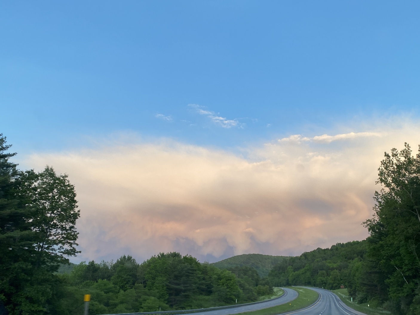
So looking east from the Cape, there is smoke on the water from a fire in the sky.
-
3 closet Davis stations to my house had 9.66, 9.89 and 10.21 inches for the month. No wonder I have mushrooms growing all over the yard.
-
The current visible shot of the smoke looks fake https://weather.cod.edu/satrad/?parms=subregional-New_England-truecolor-24-0-100-1&checked=map&colorbar=data
-
pushing 1.4" here and coming down at a good clip atm. nearing 9" for the month
-
Maybe the rain hates you. How can we appreciate the sun if we don't have the rain? It irrigates the crops! It keeps things clean!
-
Every single day here of late has been a variation of this:
-
not this one?
-
Sorry, I feel I am to blame. At least I didn't say "just wait til you get snow in June"
-
Did a cargo ship run aground into your yard? https://www.nytimes.com/2025/05/22/world/europe/norway-ship-crash-backyard.html
-
Nothing showing on USGS https://earthquake.usgs.gov/earthquakes/map/?extent=13.15438,-148.44727&extent=57.13624,-41.57227
-
The soundtrack at the party has this on repeat.
-
18Z GFS does as well
-
Ouch https://www.wcax.com/2025/05/19/cow-survives-getting-impaled-by-lumber-during-tornado-that-destroyed-dairy-farm/?utm_source=taboola&utm_medium=organicclicks&tbref=hp
-
Too many lost Yurts to count Meanwhile I am under a severe warning and a special weather statement, some thunder and pretty solid rain ongoing
-
Clown only gives me 16", pass
-
Sorry if there was confustion, I was commenting on the video from the midwest live cam. Not here.
-
it is just constant lightning! (bridge camera is better)
-
wow , quite the light show!
-
I thought the Euro from yesterday AM was going to give you a cardiac
-
big big winter incoming! Only need 13" to get to the century mark on the season!
-
oops my bad, wait until Prismshine sees the ECWMF clowns
-
Today's argument over low or high dews is again brought to you by Lennox the official May sponsor for the subforum daily argument over humidity desirability. For all your heating needs, Lennox is here. "Be it warm or be it cold don't be stupid or bold just follow what you're told call in Lennox and keep away the mold"