RDRY
-
Posts
795 -
Joined
-
Last visited
Content Type
Profiles
Blogs
Forums
American Weather
Media Demo
Store
Gallery
Everything posted by RDRY
-
Ski resorts clean up -- they needed it. But the long range offers hope for everyone. Big-time coastal pattern.
-
Looks like you'll do well. This is a real cold air mass, despite it retreating.
-
Monitoring a potential important TV to East Coastal storm: Jan 17
RDRY replied to Typhoon Tip's topic in New England
The forecast for the Berks is now close to a foot. I should have made the trip. Stupid NAM! -
Monitoring a potential important TV to East Coastal storm: Jan 17
RDRY replied to Typhoon Tip's topic in New England
So the 32K NAM is mostly rain where the 12K is mostly snow. -
Monitoring a potential important TV to East Coastal storm: Jan 17
RDRY replied to Typhoon Tip's topic in New England
Is the EURO performing worse overall after its update? -
Monitoring a potential important TV to East Coastal storm: Jan 17
RDRY replied to Typhoon Tip's topic in New England
EURO was a smidge colder in western MA during the heart of the event. There looks to be at least a few hours of heavy sleet with strong winds. Yikes. -
Monitoring a potential important TV to East Coastal storm: Jan 17
RDRY replied to Typhoon Tip's topic in New England
The new nuclear plants are super-safe and energy-efficient. -
Monitoring a potential important TV to East Coastal storm: Jan 17
RDRY replied to Typhoon Tip's topic in New England
I thought the NAM was starting to get a clue. It will keep bumping east ... follow the white rabbit. -
Monitoring a potential important TV to East Coastal storm: Jan 17
RDRY replied to Typhoon Tip's topic in New England
-
Monitoring a potential important TV to East Coastal storm: Jan 17
RDRY replied to Typhoon Tip's topic in New England
The 18z EURO? -
Monitoring a potential important TV to East Coastal storm: Jan 17
RDRY replied to Typhoon Tip's topic in New England
GFS is fugly, even for western MA. Going to have to rely on the upslope to get near the EURO totals. -
Monitoring a potential important TV to East Coastal storm: Jan 17
RDRY replied to Typhoon Tip's topic in New England
Interesting NWS discussion of upper levels in Berks: In terms of where any warm nose could track. The best chances for any mix would be the mid Hudson Valley, NW CT and perhaps the southern Berkshires. The very strong southeast to east boundary layer winds push well into eastern NY but such a cold core closed upper low could limit the north and west extent of the boundary layer warm nose but again, those details are not completely clear yet. Usually, the benchmark track of the upper system for all snow in our region is the upper low tracking more toward Cape Cod, which keeps any warm air well to the east but we will see. -
Monitoring a potential important TV to East Coastal storm: Jan 17
RDRY replied to Typhoon Tip's topic in New England
GFS now jumping to the offshore low. That at least locks it in for the interior -- still work to do for the coast. -
Monitoring a potential important TV to East Coastal storm: Jan 17
RDRY replied to Typhoon Tip's topic in New England
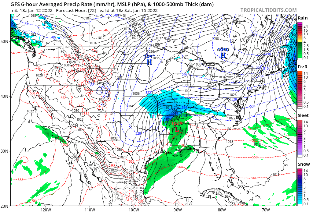
Hard to believe these highs can't suppress the storm to the coast. But I guess the west "H" on the map isn't really an organized high pressure and is just transient cold air that the storm can easily push out of the way.
-
Monitoring a potential important TV to East Coastal storm: Jan 17
RDRY replied to Typhoon Tip's topic in New England
Yup. Holds the pack. -
Monitoring a potential important TV to East Coastal storm: Jan 17
RDRY replied to Typhoon Tip's topic in New England
In the Berks, these storms always bring in the snow quicker than forecast, but also flip over to sleet/ice/rain much quicker than forecast. -
Monitoring a potential important TV to East Coastal storm: Jan 17
RDRY replied to Typhoon Tip's topic in New England
That is one of the quickest major storm pivots (turning the corner) I've seen on a weather model. -
Monitoring a potential important TV to East Coastal storm: Jan 17
RDRY replied to Typhoon Tip's topic in New England
Sure looks like it will be further west. -
Monitoring a potential important TV to East Coastal storm: Jan 17
RDRY replied to Typhoon Tip's topic in New England
How often has the operational matched the ensemble extreme outlier? -
All onboard for a monster. Coastal plain could be cut off early, but most or all the ski resorts look to clean up.
-
It keeps backing up into the sweet spot.
-
Here's a story on the incredible value of daily observations. washingtonpost.com/nation/2021/11/27/colorado-rockies-snow-climate-lab/
-
CMC following the GFS with the delay of the second system. Also climbs the coast -- just swings out too wide before making the ascent.
-
GFS forces the monster right into the blocking high ... and all hell breaks loose.
-
Pittsfield collects some decent upslope.