RDRY
-
Posts
795 -
Joined
-
Last visited
Content Type
Profiles
Blogs
Forums
American Weather
Media Demo
Store
Gallery
Everything posted by RDRY
-
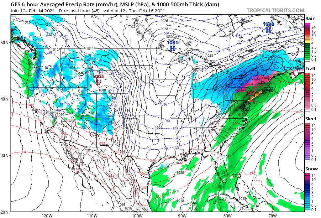
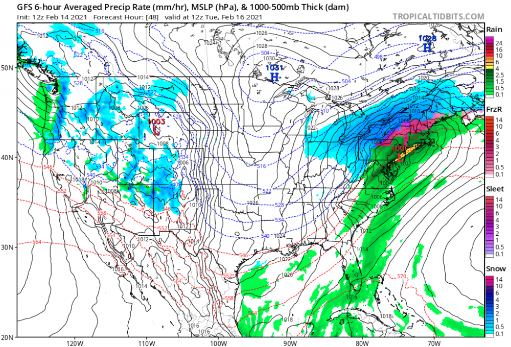
Euro trending colder/snowier with Friday's storm.
-
Okay, freezing rain. Either way, snow and sleet now seem to be confined to extreme NNE.
-
GFS mostly rain to the VT/NH border.
-
Isn't this a fairly classic banana high?
-
NAM doing its overamped thing again at the 2-3 day range.
-
The lead energy doesn't clear and allow the cold air to press down before the main energy moves in.
-
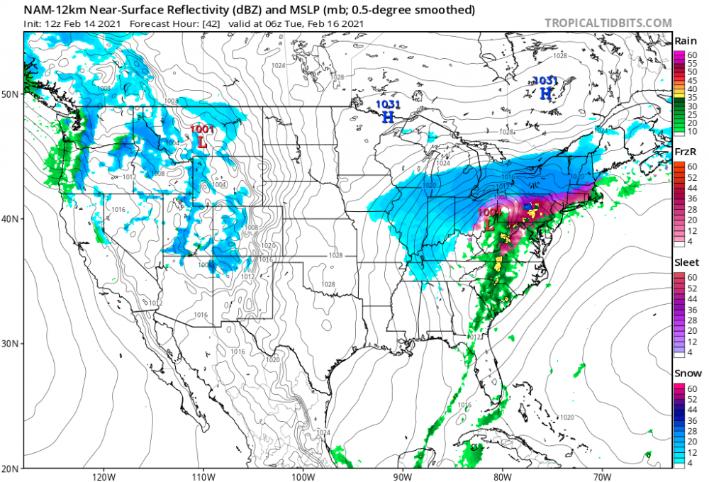
NAM and RGEM with a sleet bomb for W MA.
-
The main high pressure falls behind the system instead of shifting over the top of it.
-
Euro flipping the script -- 17th now more of a mix event, and the 18th-19th mostly snow.
-
Love that look on the GFS -- conveyor belt of light snow right up to the Tuesday storm.
-
The 12z Euro doesn't come out until 12:50.
-
The GGEM is so erratic, even within three days.
-
The 17th storm just vanished on the CMC. It'll probably miraculously reappear next run.
-
Some more moderate echoes to close things out in the Berks.
-
This is quickly evolving into a regionwide biggie. Everybody wins!!
-
Not using "Superbowl" in the title thread?
-
Measured 8-9 in Lenox.
-
Snow pellets mixing in at Lenox, Mass. Shocking.
-
Looks like 2-3/hr. rates here in WMA.
-
And finally the Euro gets the bigger totals through all of Mass, thanks to that Cape Cod meso low providing an east flow.
-
Watching closely .. February 1-3rd for moderate to major coastal event
RDRY replied to Typhoon Tip's topic in New England
Do the computer models extrapolate historical data into their outputs? This is an unusual set-up -- will they incorporate prior similar set-ups into their forecast? -
Watching closely .. February 1-3rd for moderate to major coastal event
RDRY replied to Typhoon Tip's topic in New England
https://southpark.cc.com/video-clips/21aw2m/south-park-nut-gobbler -
Watching closely .. February 1-3rd for moderate to major coastal event
RDRY replied to Typhoon Tip's topic in New England
This would be insane. Might even back into the Berks. -
Watching closely .. February 1-3rd for moderate to major coastal event
RDRY replied to Typhoon Tip's topic in New England

-
Watching closely .. February 1-3rd for moderate to major coastal event
RDRY replied to Typhoon Tip's topic in New England
Not the first time that sentiment's been expressed.