
BlunderStorm
-
Posts
1,235 -
Joined
-
Last visited
Content Type
Profiles
Blogs
Forums
American Weather
Media Demo
Store
Gallery
Everything posted by BlunderStorm
-
Since 1 the snow has been falling up this way. Closing in on 3 inches thus far! At this rate it will be the biggest winter event so far for the season.
-

Jan 11-12 Mississippi Mauler: Will it or won't it?
BlunderStorm replied to John1122's topic in Tennessee Valley
Little over an inch and winding down. 36 and Mix. Very slippery haha.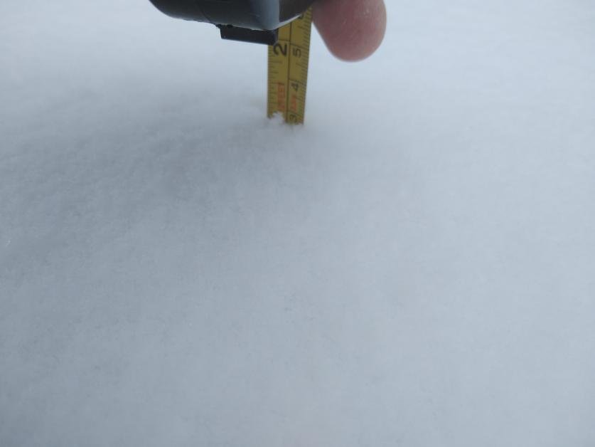
-
Jan 11-12 Mississippi Mauler: Will it or won't it?
BlunderStorm replied to John1122's topic in Tennessee Valley
Status Update: Directing Dad... -
Jan 11-12 Mississippi Mauler: Will it or won't it?
BlunderStorm replied to John1122's topic in Tennessee Valley
About 2/3 of an inch on the ground now with visibility down to a quarter mile. Fun surprise! -
Jan 11-12 Mississippi Mauler: Will it or won't it?
BlunderStorm replied to John1122's topic in Tennessee Valley
-
Jan 11-12 Mississippi Mauler: Will it or won't it?
BlunderStorm replied to John1122's topic in Tennessee Valley
Flurries up this way this morning interestingly. So far a trace has accumulated on the frozen ground. -
January 7 - 8 ULL obs and nowcast
BlunderStorm replied to Holston_River_Rambler's topic in Tennessee Valley
Roads are white, grass is getting blanketed with Nickels and Dimes falling. Nearing an inch on the ground with plenty more to go! Currently 32F. -
January 7 - 8 ULL obs and nowcast
BlunderStorm replied to Holston_River_Rambler's topic in Tennessee Valley
It has taken a while but flurries are finally reaching the ground here. The air column was relatively dry here. -
Fall/Winter Banter - Football, Basketball, Snowball?
BlunderStorm replied to John1122's topic in Tennessee Valley
Alternate Version of my reaction to the 12-24-20 0z Euro Kuchera map.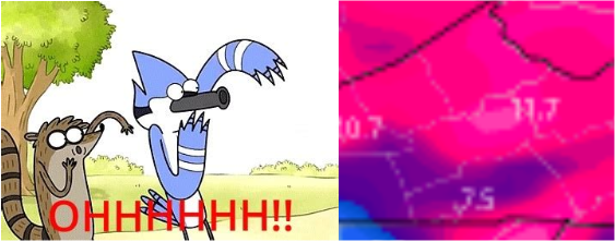
-
Fall/Winter Banter - Football, Basketball, Snowball?
BlunderStorm replied to John1122's topic in Tennessee Valley
Non-Rushed Dandridge +3KM Version. -
December 2020 Medium/Long Term Pattern Discussion.
BlunderStorm replied to John1122's topic in Tennessee Valley
I've often wondered if they or another modeling site could implement a map of median snowfall among all the ensemble members for a run. It would prevent distortion from weenie maps and eliminate a lot of wide expanses of sub-inch totals. A single member with snowfall using the average means that areas will be listed with snowfall despite the vast majority of members having it out of the equation. Granted, the mean is still valuable in it's own right showing low likelihood areas still in play. -
Fall/Winter Banter - Football, Basketball, Snowball?
BlunderStorm replied to John1122's topic in Tennessee Valley
I think we're all used to getting shafted at this point which makes the potential for a white Christmas all the more alluring yet bothering. In my case, I can only help but feel snubbed the past few years especially with my local climate. Last having recorded a single day snowfall above 3" in March of 2018. Of course, I don't mean to whine and remain optimistic for any potential winter events ahead. Echoing the sentiments of others I am glad we aren't dealing with what we had last year. -
December 2020 Medium/Long Term Pattern Discussion.
BlunderStorm replied to John1122's topic in Tennessee Valley
Probably the most coveted window for snow in any year. We still have a good amount of variation in timings with the GFS and UKIE hitting earlier. If I had to guess at least in the GFS's case it has to do with it's bias. -
December 2020 Medium/Long Term Pattern Discussion.
BlunderStorm replied to John1122's topic in Tennessee Valley
Shhh... -
December 2020 Medium/Long Term Pattern Discussion.
BlunderStorm replied to John1122's topic in Tennessee Valley
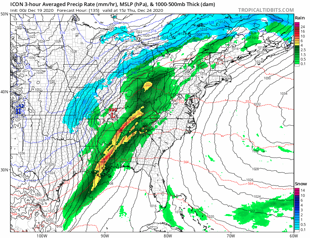
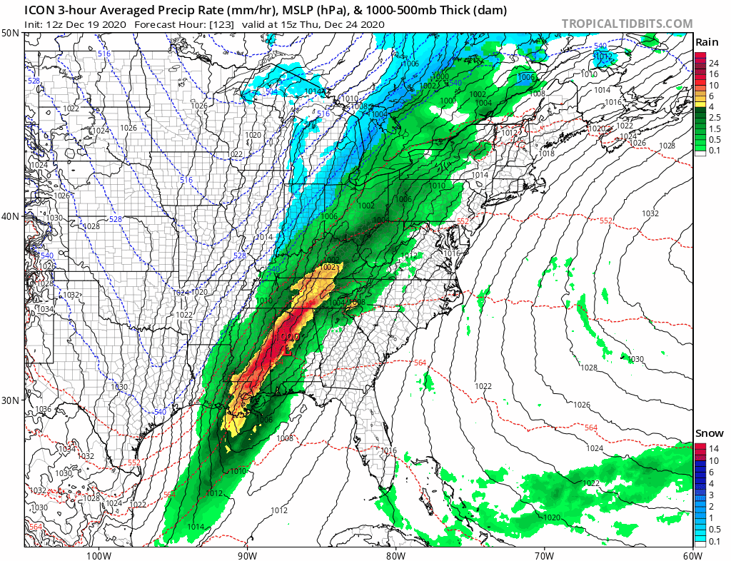
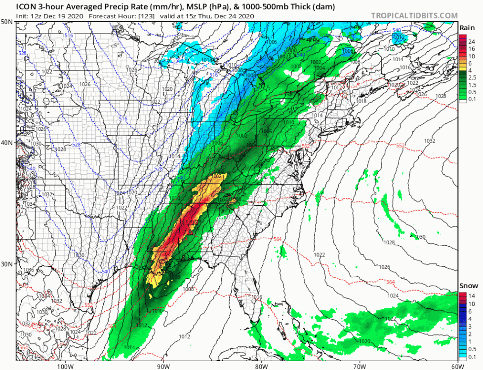
The ICON as of the last 2 runs has evolved towards are more favorable solution from last night. It does away with the weak low in the midwest wandering into our back yard and returns to a low in the Canadian shield introducing more cold and advancing the front more quickly with a low developing along the front further south. It still is a mostly rain event on there but I'll take an Appalachian runner with a shot of cold over what it was showing.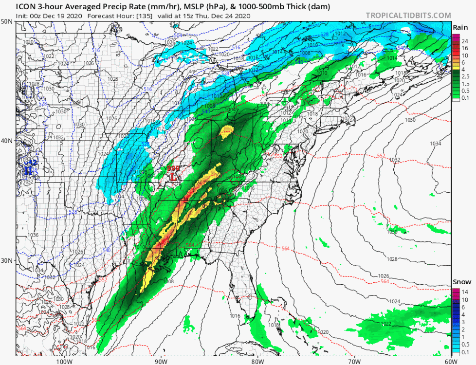
-
December 2020 Medium/Long Term Pattern Discussion.
BlunderStorm replied to John1122's topic in Tennessee Valley
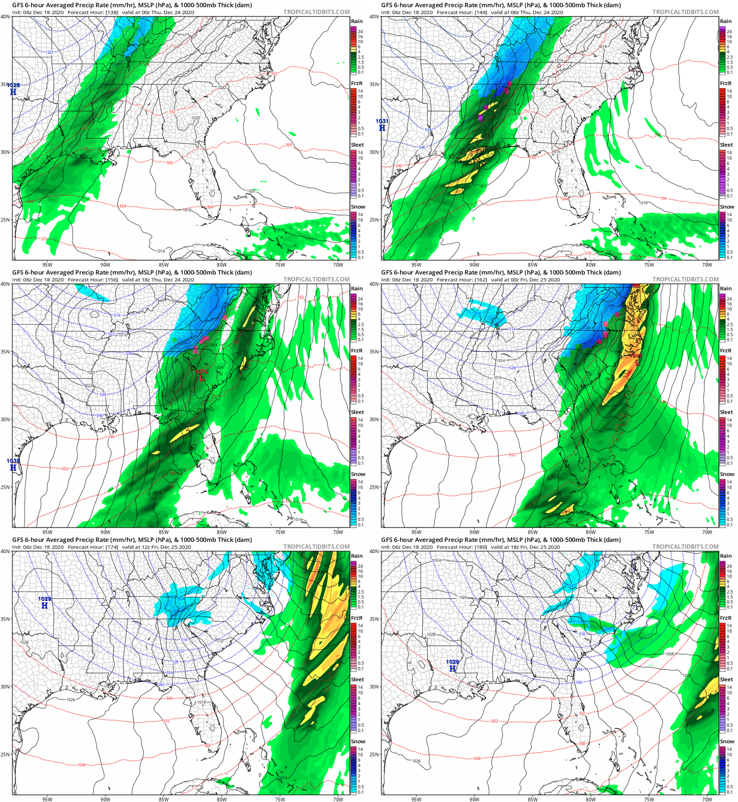
GL low looking more wound up on the 0z GFS. Not as potent cold is brought south but more of it though. The front seems more progressive and enters at less of an angle leaving less of a chance for a second southeastern low to develop in time to bump the totals for the forum region. I like the sight of frontal snow on Christmas Eve but I can't help but fear a bust involving cold chasing rain without a more established low. -
Fall/Winter Banter - Football, Basketball, Snowball?
BlunderStorm replied to John1122's topic in Tennessee Valley
Dear Santa...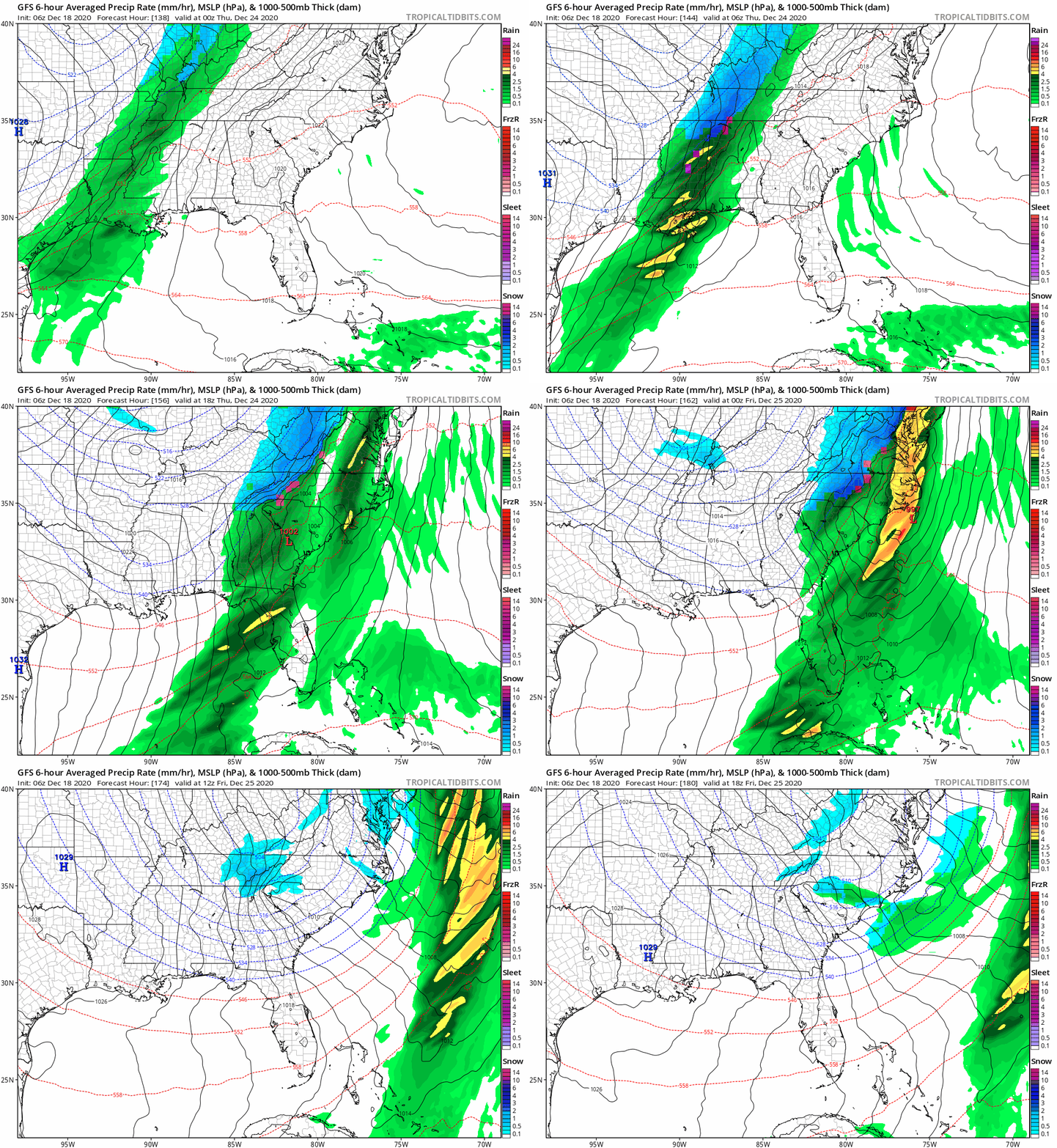
-
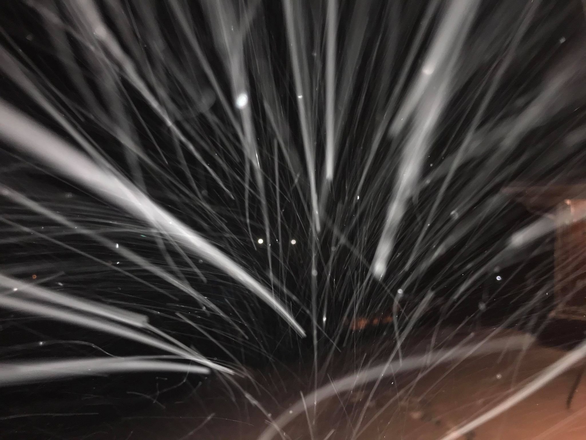
About 15 minutes ago flakes started to mix in. Now all snow. Nice to see but I can only dream of what would have been had it been 10 degrees colder.
-
AREA FORECAST DISCUSSION...UPDATED National Weather Service Morristown TN 1249 AM EST Mon Dec 14 2020 .UPDATE... FOR 06Z AVIATION. && .DISCUSSION... Not a whole lot of change to the forecast this evening. Biggest change was to slightly delay onset of precip across the central east TN Valley and northeast TN by a few hours. Looking at the latest data, still a very difficult forecast in terms of snow potential across the northern Cumberland Plateau and southwest VA. I think the biggest bust potential is across Wise County and Russel County VA, our most northern counties in our CWA. By bust I mean our current snow totals could be too low. However, I just don`t feel confident enough to raise the current totals that are in place. To be honest, we probably won`t have a good grasp on snow totals until we actually see when the changeover occurs. With this event changeover-time is everything. A changeover from rain to snow that occurs just an hour or two earlier could raise snow totals by a few inches and vice versa if changeover is later than expected. The current SPS and snow totals mentioned within still look reasonable so will let it ride for now. Will be closely watching how this event unfolds through the night. SR
-
Down to 41. Since the arrival of the rain the temperatures have proceeded to drop steadily at a degree an hour. At this rate however the sun will stagnate the drop and the system will have already mostly concluded. Still, it is movement in the right direction and with any luck the drop in temperature will accelerate. On it's own evaporative cooling may give me another degree. Wetbulb is just under 40 with 94% humidity. All the more puzzling is the wind direction from the southwest from deeper in the valley not keeping the temperature at the very least stable. Furthermore if clouds insulate then why were temperatures stable instead of dropping in the first few hours of the night while the sky was still partially uncovered? Me no understand heat dissipation.
-
Alright, here we go. Snow? IMBY? Will see, Currently 43 and a long way to drop.
-
December 2020 Medium/Long Term Pattern Discussion.
BlunderStorm replied to John1122's topic in Tennessee Valley
Rates will overcome? -
December 2020 Medium/Long Term Pattern Discussion.
BlunderStorm replied to John1122's topic in Tennessee Valley
I noticed on the latest GFS run the first system that rolls through the midwest is more progressive perhaps introducing less cold to the Tennessee Valley in time for the second system. Another possibility is that with a stronger second system sporting a more defined center of low pressure it acts to warm up the valley without an area of high pressure to the NW reinforcing colder temps. If we were looking at more of a semi Miller A setup like we saw with the Euro last night perhaps it would be manageable for at least the eastern regions but this does not look to be the case with the euro biases and trend as of the 12z run. Instead echoing what Tellico said we may be looking at a weak to marginal slider with potential for snow in high elevations and maybe some lucky areas along I-40 and north. As a side-note the Canadian seems to be in general agreement with the GFS. In the meantime will see what the Euro has to say. On the bright side it would seem we will likely see multiple opportunities as December progresses and the effects of a -NAO and -AO really start to kick in. (fingers crossed) -
![img_1034[1].jpg](https://www.americanwx.com/bb/uploads/monthly_2018_12/small.1221501886_img_10341.jpg.ada9a07c1ccdb83ad55319c249a06abd.jpg)
-
Lacking extensive knowledge of the effects of SSTs in different parts of the oceans and how they affect our weather patterns is a part of the reason you see little traffic in this thread. I can easily give observations, dish out banter and fantasy storms, and even give a rudimentary opinion as to what to expect a few weeks in advance, but beyond that I feel I cannot create a coherent post of value in this thread so I sit in the background instead attempting to learn. In other words I am aware of my own ignorance about the topic so I restrain myself and when I do make a post outside of banter or observations I try my best.