Eskimo Joe
-
Posts
24,678 -
Joined
-
Last visited
Content Type
Profiles
Blogs
Forums
American Weather
Media Demo
Store
Gallery
Everything posted by Eskimo Joe
-
-
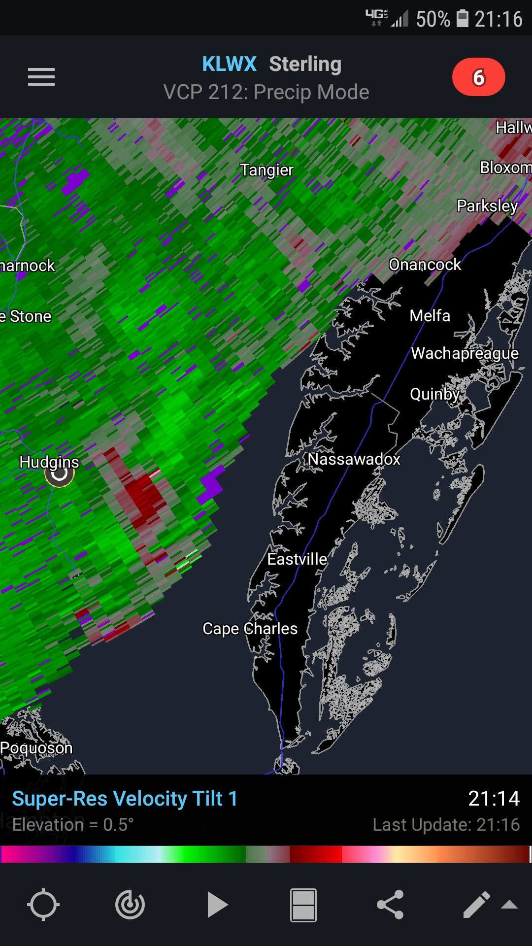
Another cell trying to start up near Epes, AL. It's by itself too.
-
Yea it's not likely we break out today across the board, especially with a high/mid level cloud deck streaming in.
-

2021 Mid-Atlantic Severe Weather - General Discussion
Eskimo Joe replied to Kmlwx's topic in Mid Atlantic
IMO, seems like whenever we get these robust Dixie / Carolina Alley events, something usually slips up into NOVA and surprises everyone. -
SPC mesoanalysis have a Supercell Composite of close to 20 across parts of southern MS and another maximum in western AL. Pretty impressive and the visible satellite is showing a decent amount of clearing.
-
SPC protocol dictates that any watch box issued inside a High Risk, whether tornado or severe thunderstorm, area is automatically a PDS.
-
Meso floater for today: https://weather.cod.edu/satrad/?parms=meso-meso1-02-24-0-100-1&checked=map&colorbar=undefined
-
Could go w/ a 45% on the afternoon update if observations start to line up with forecasts.
-
A warm rain in the mid to upper 50s should wake the lawns up.
-
Stop posting facts. You'll scare off the danger noodles.
-
-
The lack of an EML adds credence to this possibility.
-
First big test for the new GFS on the severe weather side of things.
-
-
2021 Mid-Atlantic Severe Weather - General Discussion
Eskimo Joe replied to Kmlwx's topic in Mid Atlantic
-
2021 Mid-Atlantic Severe Weather - General Discussion
Eskimo Joe replied to Kmlwx's topic in Mid Atlantic
Yea this time of year, we need a bit of a negative tilt and more robust southerly winds to really scour out the low level wedge. Once we get into late April it's not that big of a deal. -
2021 Mid-Atlantic Severe Weather - General Discussion
Eskimo Joe replied to Kmlwx's topic in Mid Atlantic
South of I-66? Yea maybe. -
Low of 28. Bit of frost on the car.
-
Am I the only one who doesn't understand why this is a big deal? What am I missing?
-
March 1958 storm dropped 33" in Mt. Airy, MD and 50" just over the border in PA.
-
I'm taking my Part 107 FAA license for my work's drone program. I've learned more about runways than I ever cared to.
-
All runways are oriented to compass direction. So runway 18 would be 180 degrees (due south).
-
Bass starting to come out of the deeper spots and hitting jerkbaits and crankbaits on the points. Almost time.